March 5th Team Run!
Getting there:
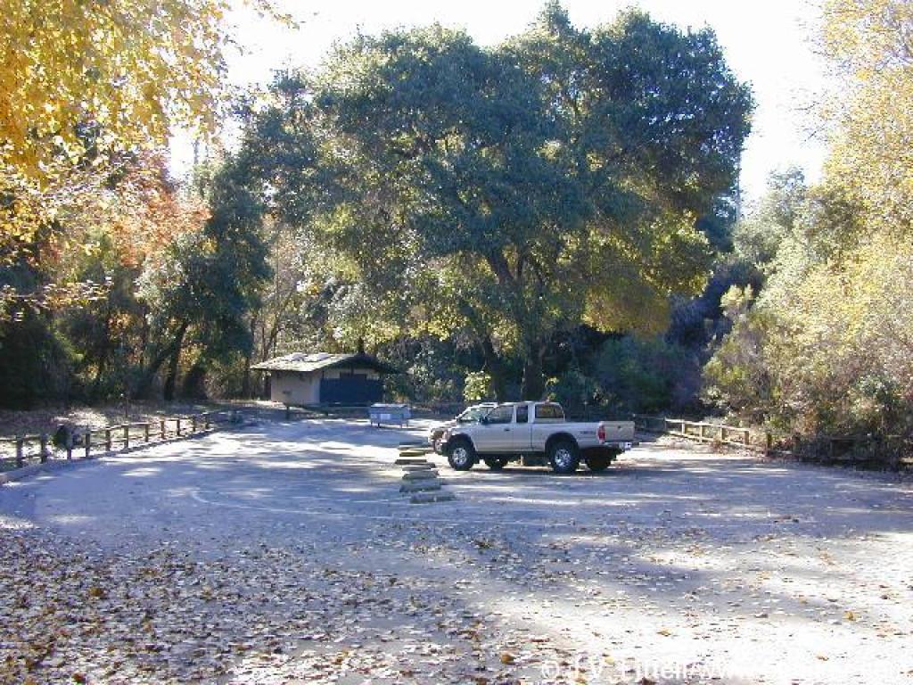
From Interstate 280 in Santa Clara County, exit Foothill Expressway (exit #13) and drive south (left) on Foothill Boulevard until it turns into Stevens Canyon Road. Stay straight on Stevens Canyon Road about 2 miles to the park entrance (Stevens Creek County Park) on the left side of the road. Drive downhill, pull into the Chestnut Picnic Area on the left to pay the entrance fee, then continue on the park road to the ranger station on the right side of the road. Pick up a map, then continue down the road to the Baytree Picnic Area at the end of the road.
From Interstate 280 in Santa Clara County, exit Foothill Expressway (exit #13) and drive south (left) on Foothill Boulevard until it turns into Stevens Canyon Road. Stay straight on Stevens Canyon Road about 2 miles to the park entrance (Stevens Creek County Park) on the left side of the road. Drive downhill, pull into the Chestnut Picnic Area on the left to pay the entrance fee, then continue on the park road to the ranger station on the right side of the road. Pick up a map, then continue down the road to the Baytree Picnic Area at the end of the road.
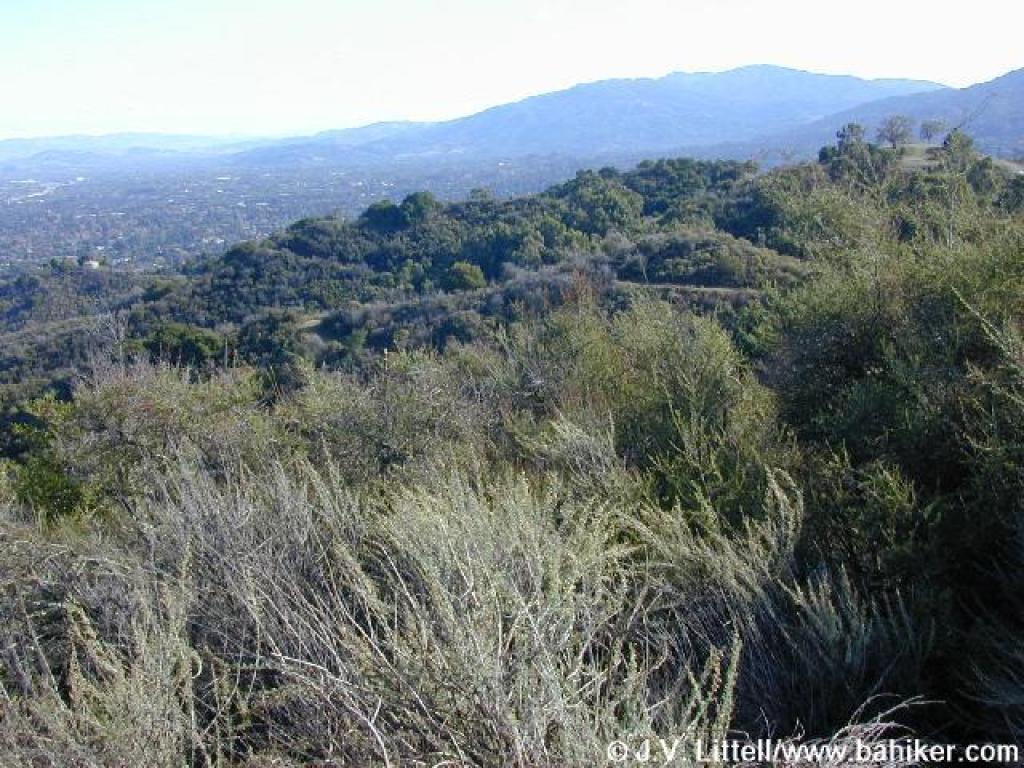
You'll have to pick your poison when you plan a hike to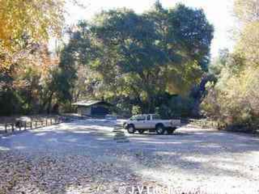 Stevens Creek County Park. Are you bothered by crowds? Then go on a weekday. Dislike the roar of quarry trucks? Your best bet is a weekend hike. The quarry on Stevens Canyon Road, on the west shore of the reservoir, is very noisy, but the trucks roar Monday through Friday, taking Saturday and Sunday off. That's when throngs of fishermen descend to Stevens Creek Reservoir, cyclists zip up and down the steep fire roads, picnickers unfurl their blankets, and archers let their arrows fly at a range in the southeast corner of Stevens Creek Park.
Stevens Creek is Santa Clara County's first park. The county has gradually increased the park from an original 1924 400 acre purchase to 1,042 acres. Fremont Older Open Space Preserve abuts the park to the east, and Picchetti Ranch Open Space Preserve to the west, permitting long loops and out-and-back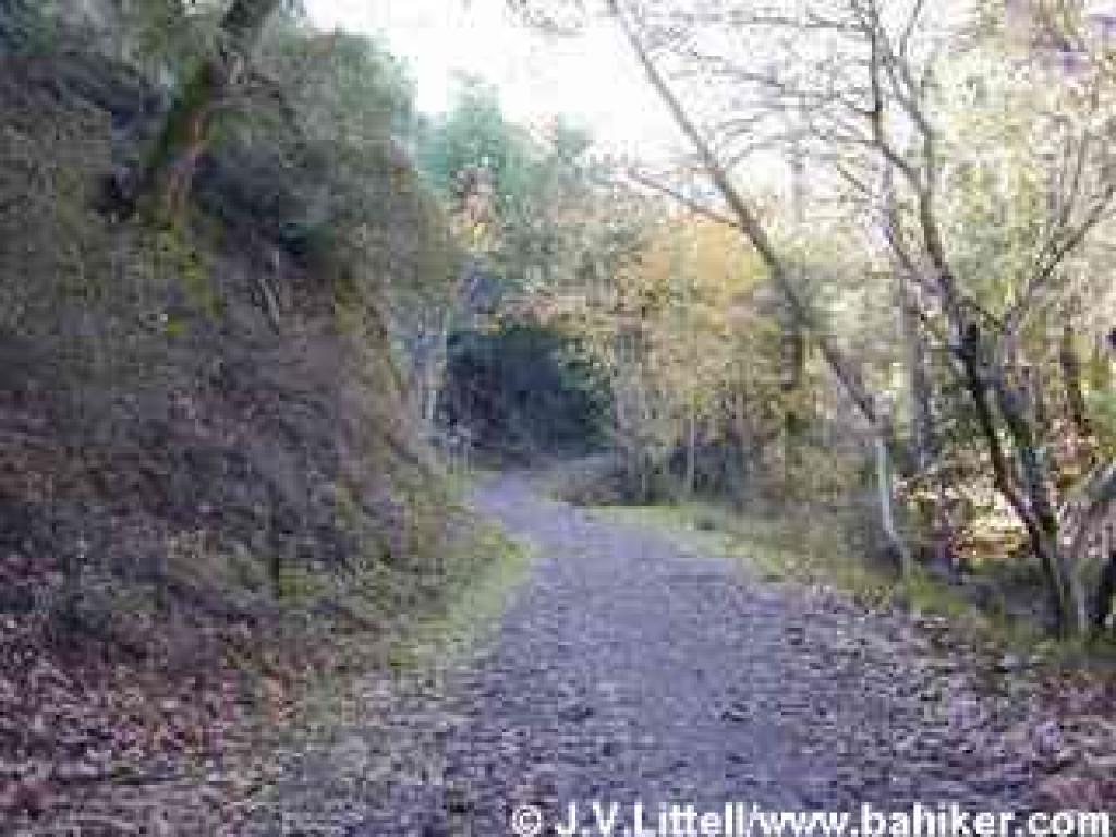 excursions for cyclists, hikers, and equestrians. From the trailhead at Baytree Picnic Area, there aren't any short loops, although an out-and-back hike on Stevens Creek Tony Look Trail would be a good choice for a brief walk. For a longer hike, you can extend this featured hike by visiting Nob Hill, on the southeast corner of Fremont Older (see MROSD's Fremont Older map), then taking Toyon and Bay View Trails back to Coyote Ridge Trail. The trail systems at Fremont Older and Pichetti Ranch are more conducive to shorter hikes.
Although Stevens Creek Tony Look Trail is mostly shaded, I wouldn't recommend a summer hike at Stevens Creek County Park or Fremont Older. Too much valley smog. Autumn is nice, with attractive sycamore, cottonwood, big-leaf maple, and cercocarpus foliage. In winter there are tiny waterfalls on Stevens Creek Tony Look Trail, and spring brings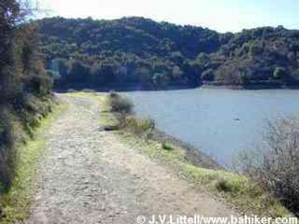 wildflowers to the grassland and woods.
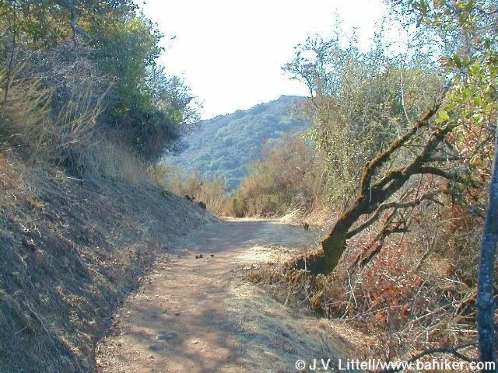
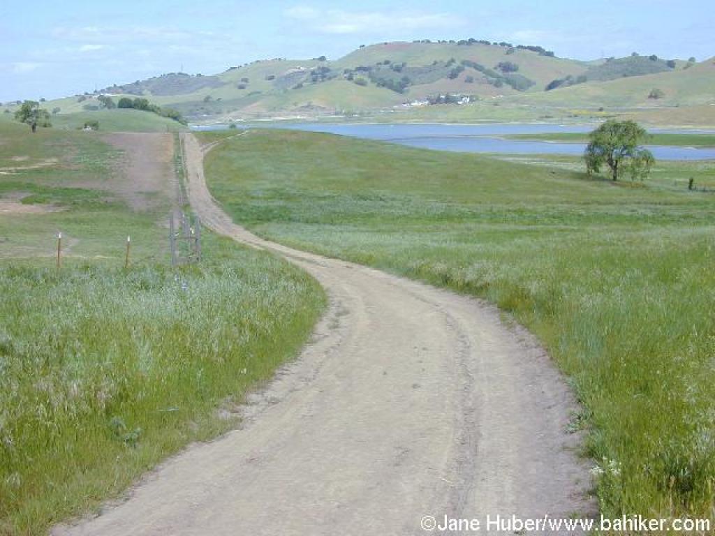
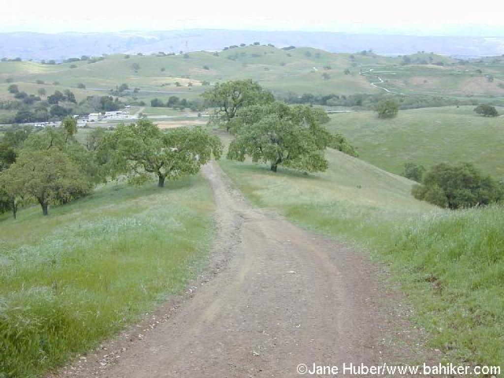
For the featured hike, start at Baytree Picnic Area's parking lot. Walk back along the park road, cross the bridge, and after about 180 feet, turn right onto gated and signed Stevens Creek Tony Look Trail. The broad trail, open to hikers and cyclists, follows along Stevens Creek. The slightly ascending trail is well-shaded by California bay and coast live oak, as well as clusters of sycamore, big-leaf maple, cottonwood, and alder, all pretty in autumn. At 0.40 mile, there's a fenced flat area, and a few steps later you'll reach a signed junction, with Stevens Creek Tony Look Trail veering off to the right, and Coyote Ridge Trail beginning the climb to the ridge on the left. Stay to the right on Stevens Creek Tony Look Trail.
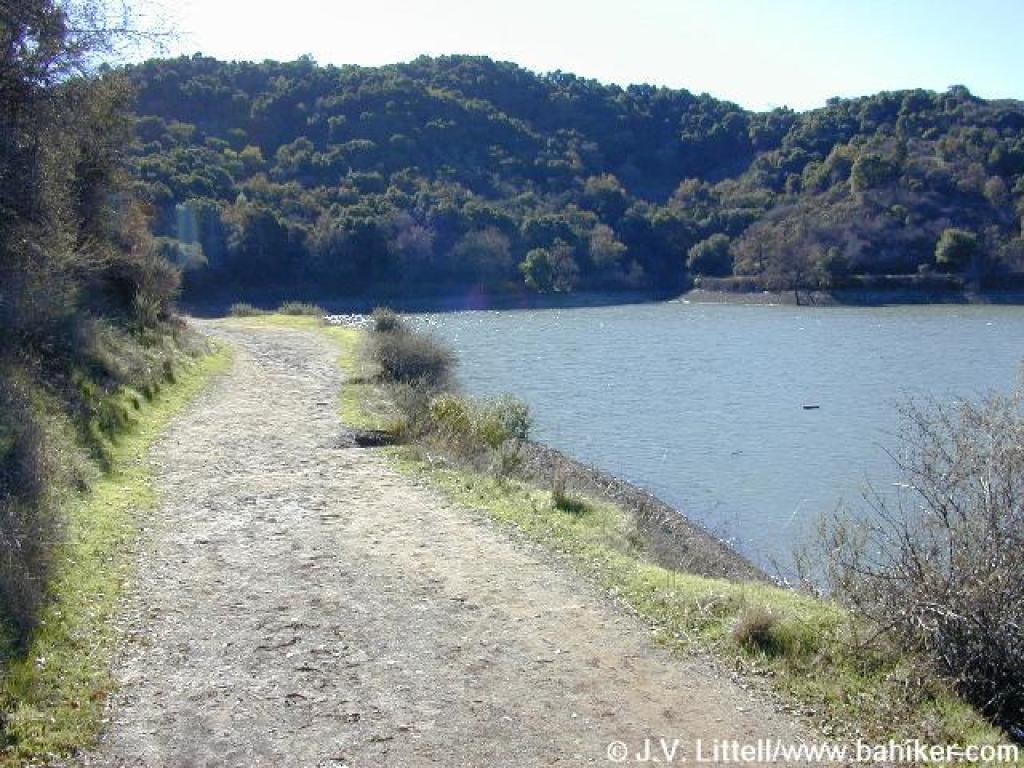
After a brief climb through coyote brush, poison oak, and sagebrush, the trail levels out. A few coast live oak shade the trail as it edges near the reservoir. A short section of fence, blocking off the spillway, ends and you can reach the water's edge, but no wading or swimming is permitted. The trail, with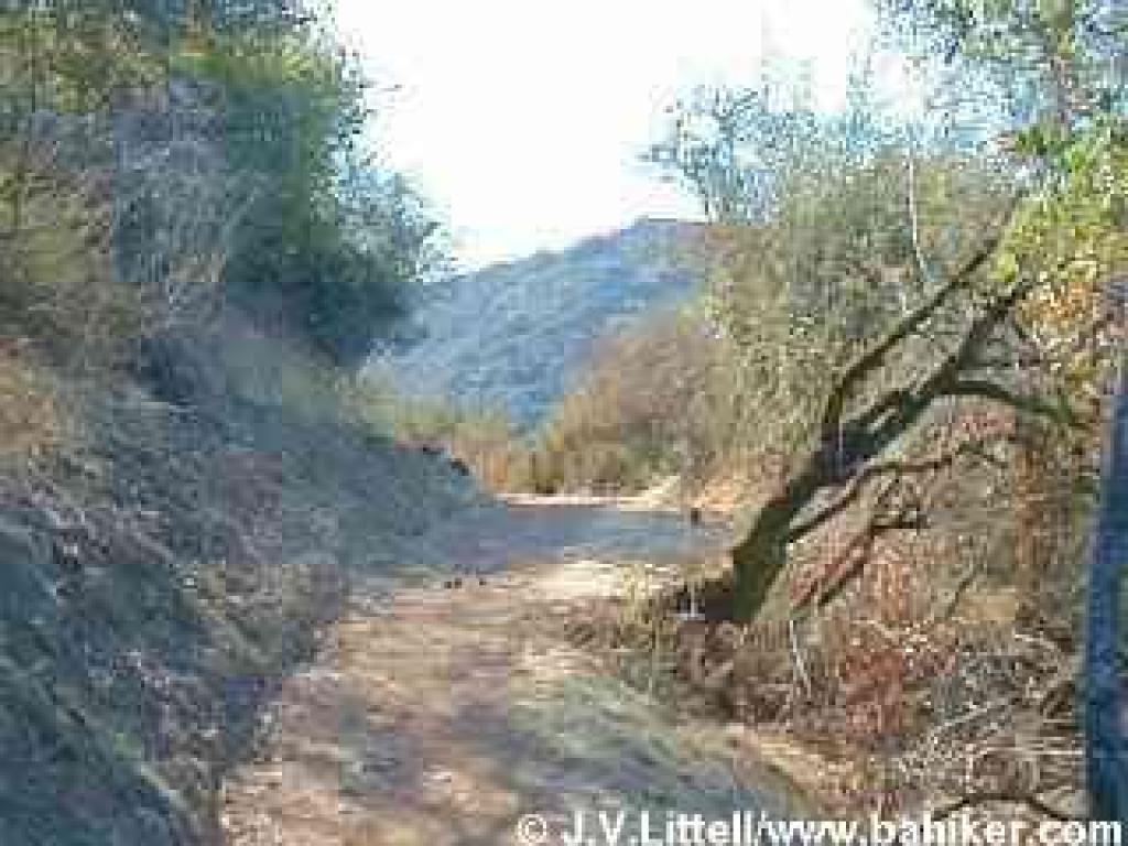 coast live oak, toyon, and coyote brush prominent, follows along the shore until 0.76 mile, when Stevens Creek Tony Look Trail swings to the left. The other trail ends about 0.2 mile further. Turn left to remain on Stevens Creek Tony Look Trail.
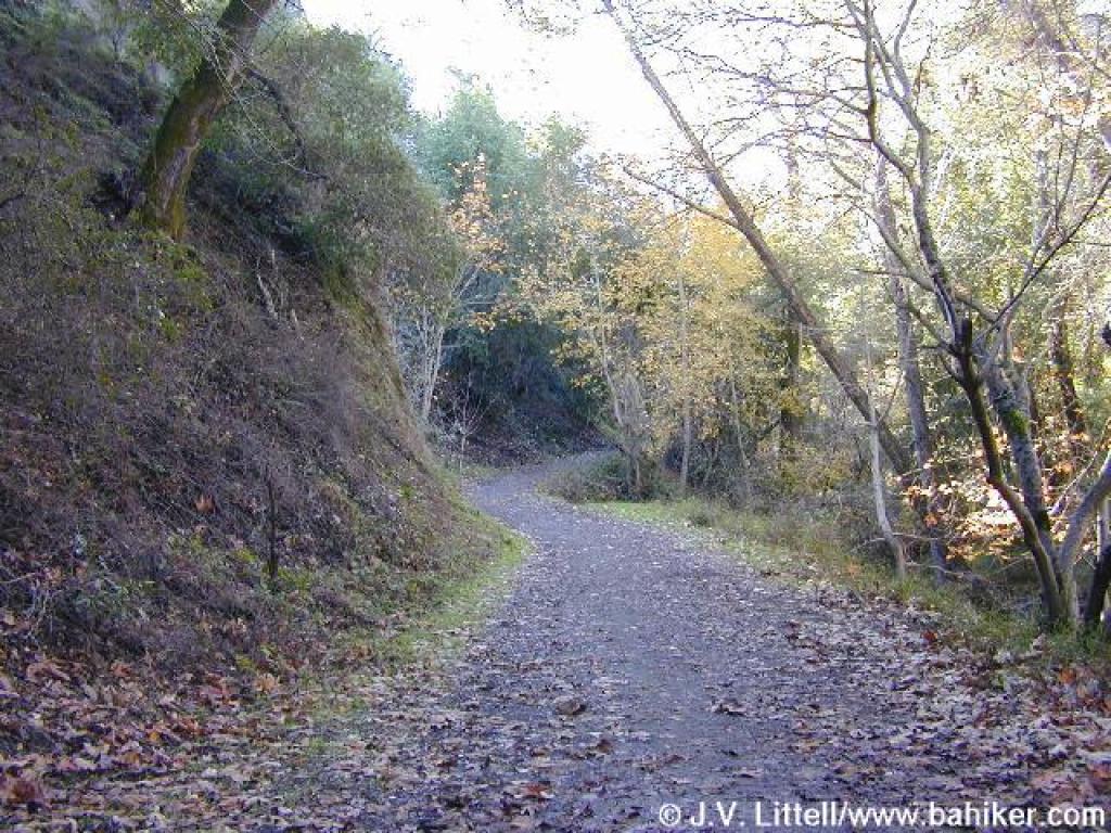
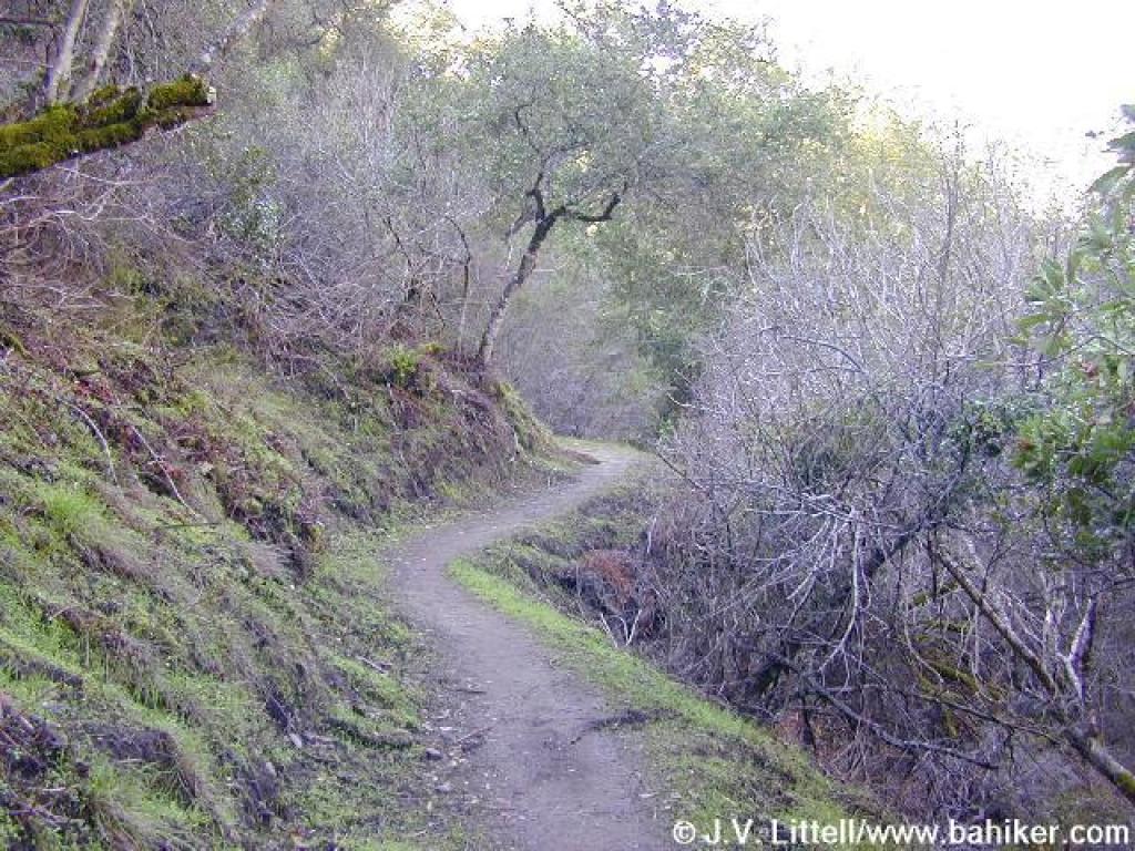
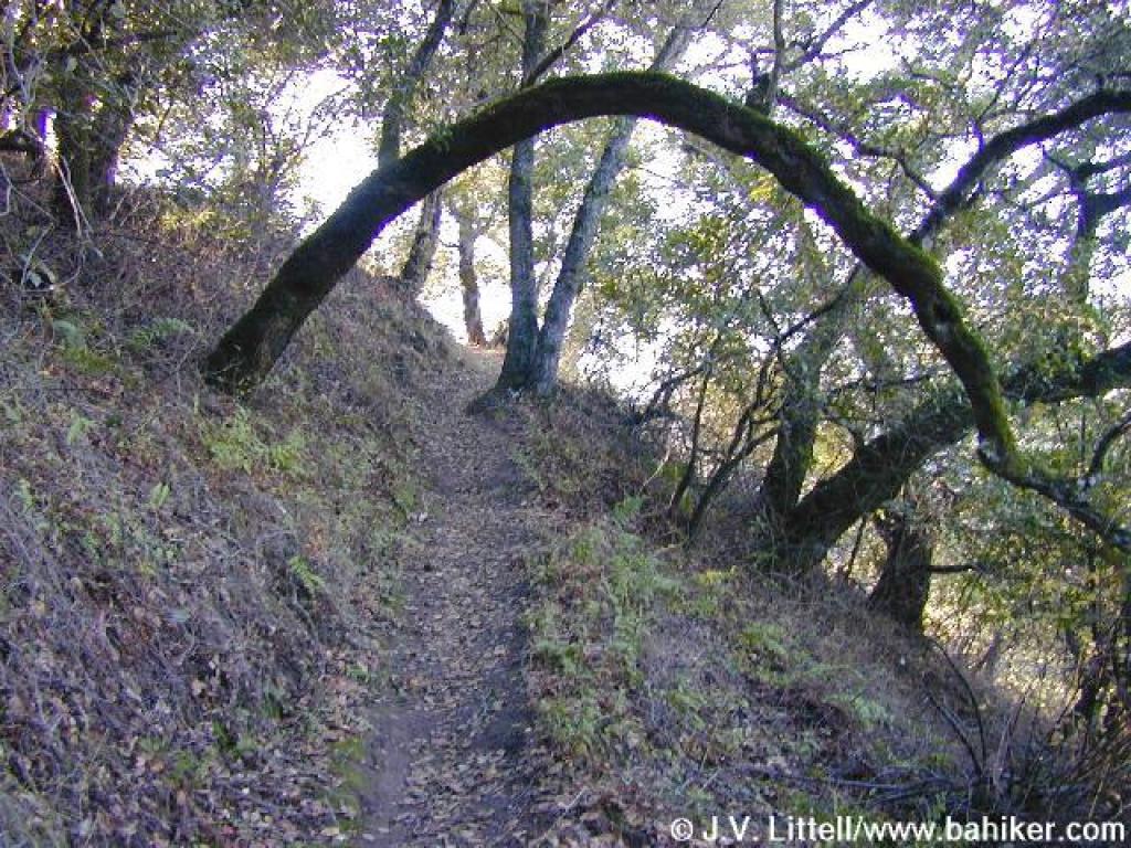
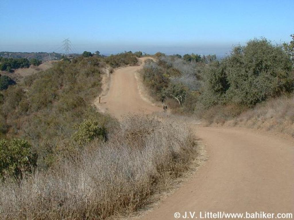
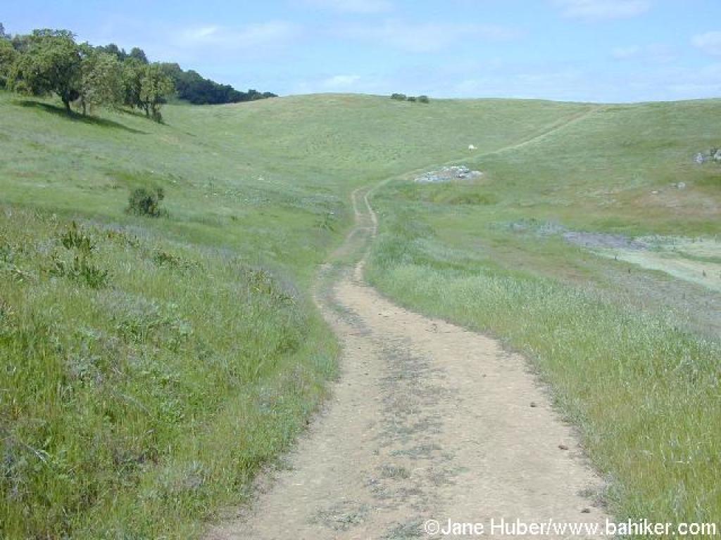
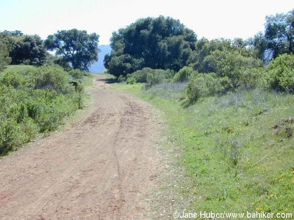
Check out the boy scout-built bat house at the junction. This portion of the trail was built in 1988 by volunteers, and it's a fantastic hiking-only path through woods of coast live oak, buckeye, California bay, poison oak, creambush, and toyon. If you think of blackberry as a benign plant, check out the spot not far from the junction where vines have completely overtaken the understory. Switchbacks smooth out the elevation gain. At the highest point along the trail, the path cuts through an amazing patch of old-growth chaparral. Some of the shrubs, especially the chamise, are the size of small trees. You might also see sagebrush, toyon, pitcher sage, cercocarpus, and hollyleaf cherry. Views to the forested slopes across the reservoir are unobstructed. The trail snakes downhill,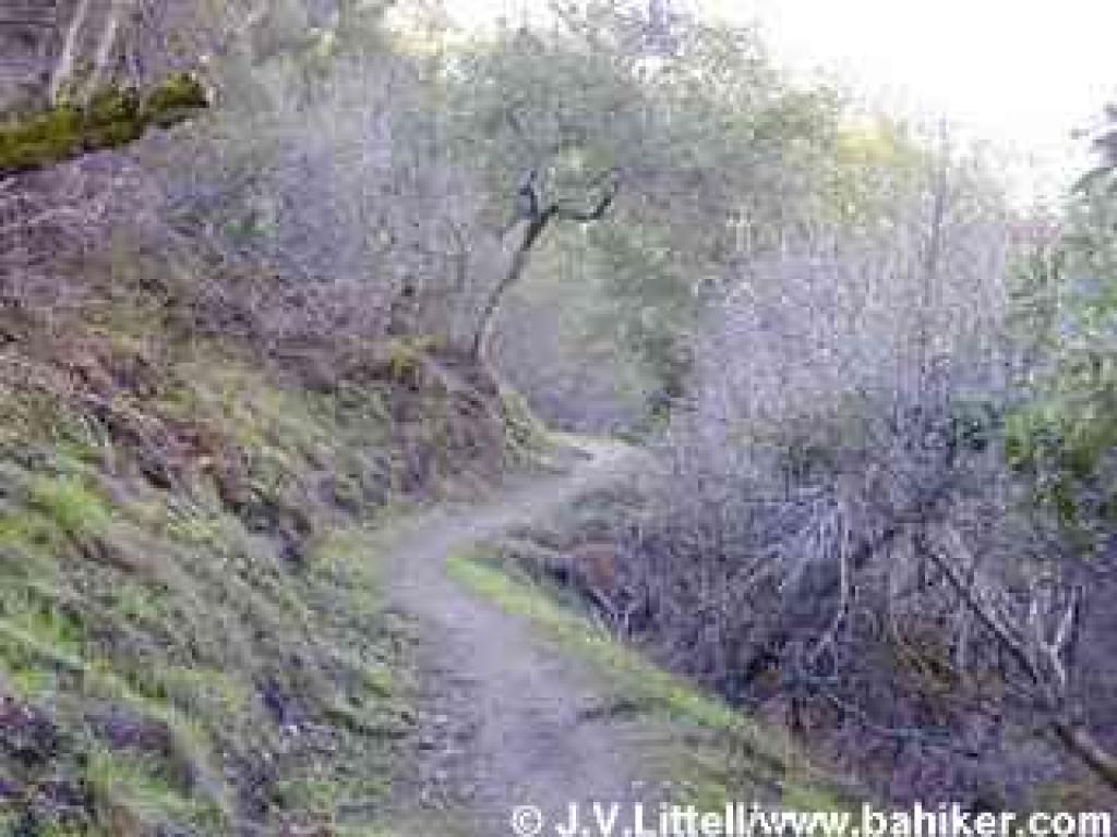 passing through a grassy area with some elegant coast live oaks. A fence guards a steep dropoff as the trail drops to a bridge. There's nowhere to go but up, and Stevens Creek Tony Look Trail climbs a bit before reaching a clear spot with yerba santa-framed views of the southern tip of the reservoir. In autumn, look for lovely golden leaves on sycamores at the shoreline. Stevens Creek Tony Look Trail descends again, and another fence prevents shortcuts as a shallow switchback channels the trail downhill. Through the trees you might see ducks and herons in the quiet pools of the reservoir. The narrow trail edges beneath a strange slab of rock where small seasonal waterfalls feed the reservoir on rainy winter days. After one last bridge, the trail climbs through grassy woodland and reaches Laurel Flat, the end of the volunteer built section of trail. The trail widens and passes what seems to be the park dump on the left. At 2.76 miles a gate blocks the fire road's exit to Stevens Canyon Road. Take the trail to the left.
This small, hiking-only trail winds around the back of Madrone and Sycamore Group Picnic Areas. Stay to the left at two unsigned junctions, at 2.82 and 2.92 miles. This path becomes Lookout Trail somewhere along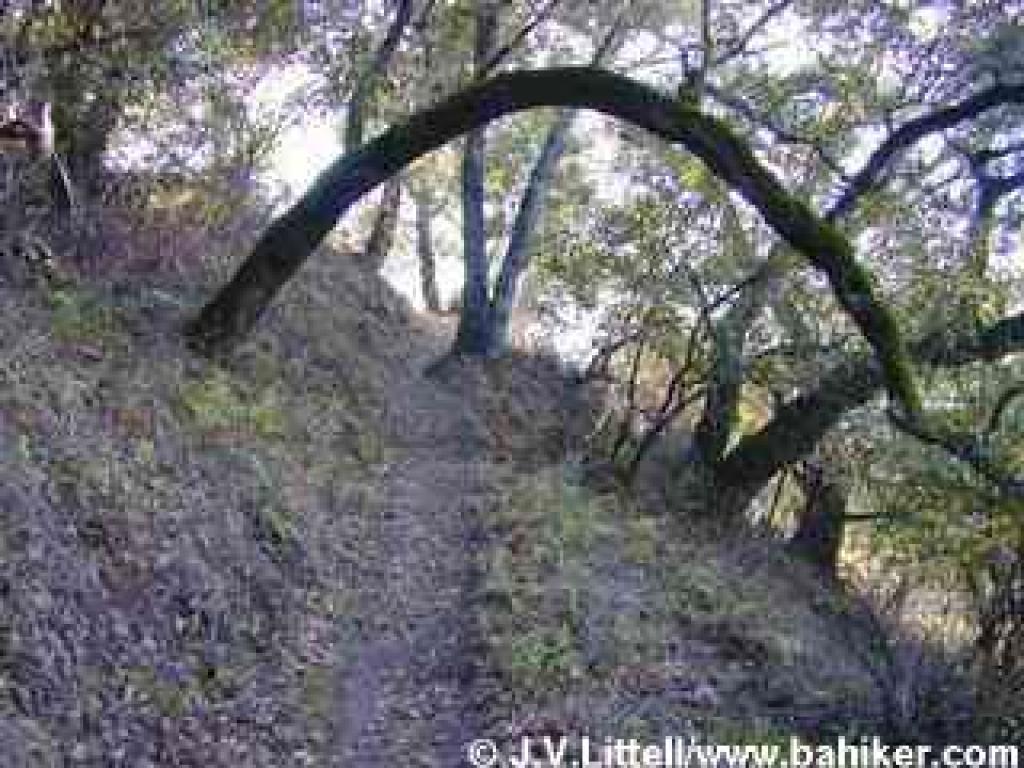 here (the Fremont Older map suggests the transition at the Madrone Group Area; it doesn't really matter because it's the only trail at this point). The trail is very narrow in sections, and although switchbacks cushion the blow of much of the climb, the ascent will have your heart pumping. Luckily, the trail is thickly forested with coast live oak and California bay, so it's cool and shady. Look for creambush and gooseberry in the understory. At a grassy flat spot on the right side of the trail, a break in the trees reveals a spectacular view to the southwest (this is a nice lunch spot). In autumn, on the high, sloping vineyards across the valley, grape leaves, lit with color, stand out from the surrounding chaparral and woods. At 3.63 miles, Lookout Trail crests and crosses through a gate into Fremont Older and grassland.
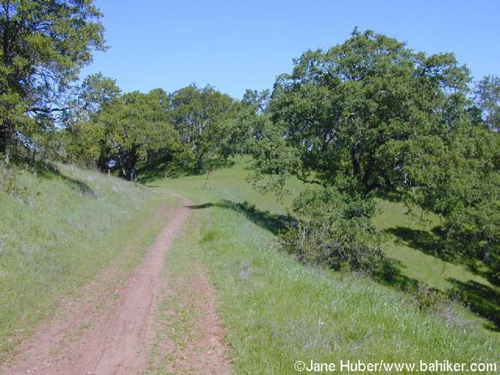
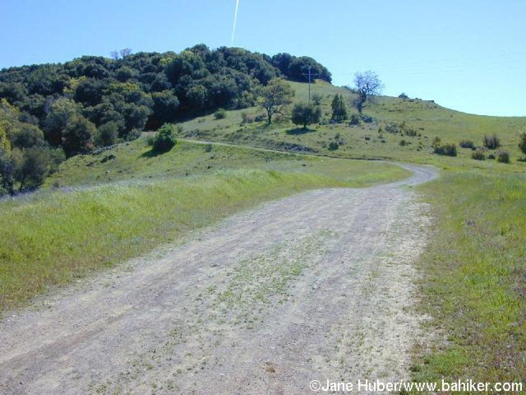
The trail drops down a bare slope near a power line (there's a faint path that bypasses the sharp descent to the left), then climbs easily to two junctions at 3.71 and 3.77 miles. Go straight at the first junction, and then at the second, turn right onto Vista Loop Trail. (Either branch of Vista Loop Trail will hook up with Coyote Ridge Trail eventually, but the trail to the right has nicer views to the east.) You'll walk down a broad, level multi-use dirt road lined with eucalyptus trees, with nice views south to Mount Umunhum. The archery range is visible down the slope to the right. At 3.92 miles, turn left at a signed junction onto Coyote Ridge Trail.
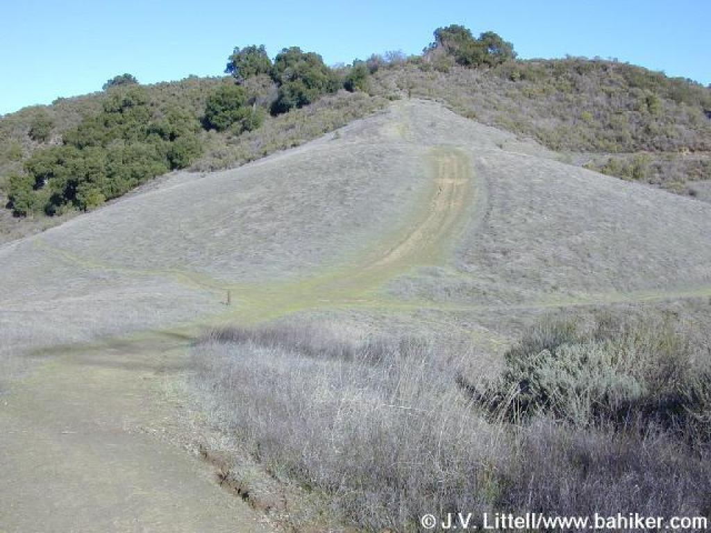
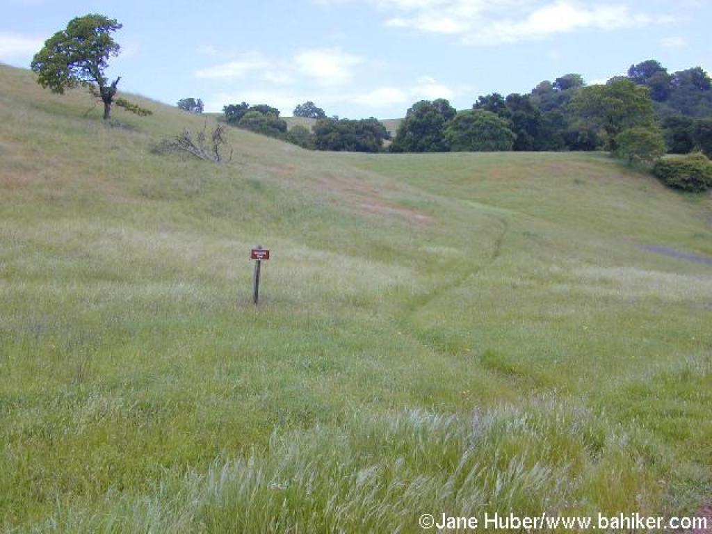
Coyote Ridge Trail is a hiking, bicycling, and equestrian trail, so be alert for traffic. The trail climbs a little, and there are views back downhill to Lookout Trail. At 4.13 miles, a spur trail not on the map (but marked by a faded wooden informative sign) leads to the highest point in the preserve. Take the short trail uphill to the right to Maisie's Peak.
This vantage point offers particularly good views of the eastern portion of Fremont Older. On a clear day you should be able to see Mission Peak, Mount Diablo, Mount Hamilton, Mount Umunhum, and even San Francisco and Mount Tamalpais. Maisie's Peak is a great lunch or break spot, but it can get uncomfortably windy in winter. When you are ready to continue, return to Coyote Ridge Trail,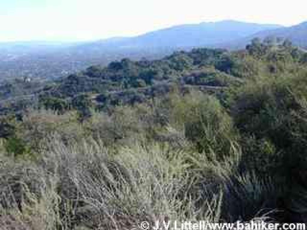 turn right and then continue straight at the signed junction with Vista Loop Trail,at 4.27 miles.
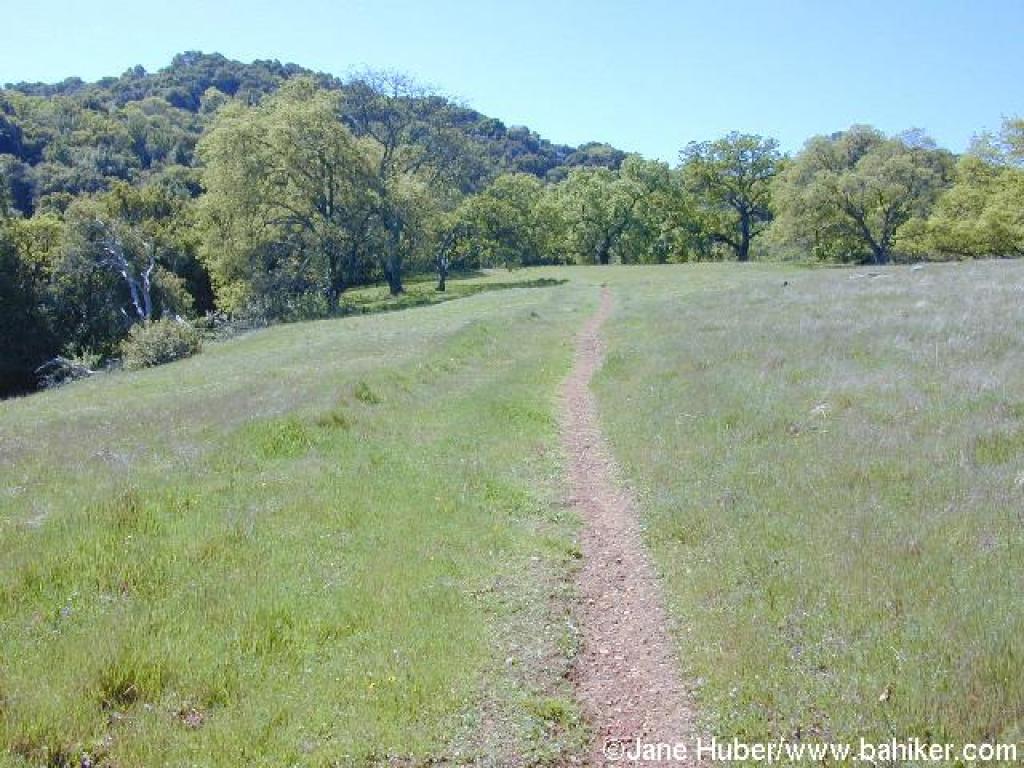
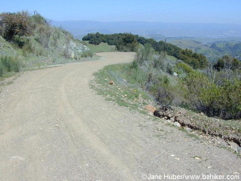
Grassy slopes visible on the left side of the trail are crisscrossed with animal paths. Look for deer and coyote footprints on the ground, and vultures and hawks soaring in the thermals overhead. Poison oak, toyon, sagebrush, scrub oak, monkeyflower, cercocarpus, coyote brush, and chamise take over the landscape, but there are some occasional pockets of coast live oak and blue oak. Coyote Ridge Trail rises and falls a bit as it passes three signed junctions: the first with a trail descending to Bay View Trail (at 4.43 miles), the second with Fern Trail (at 4.49 miles; not on the Stevens Creek County Park map), and lastly with another spur leading down to Bay View Trail (at 4.57 miles). Stay on Coyote Ridge Trail at each junction.
The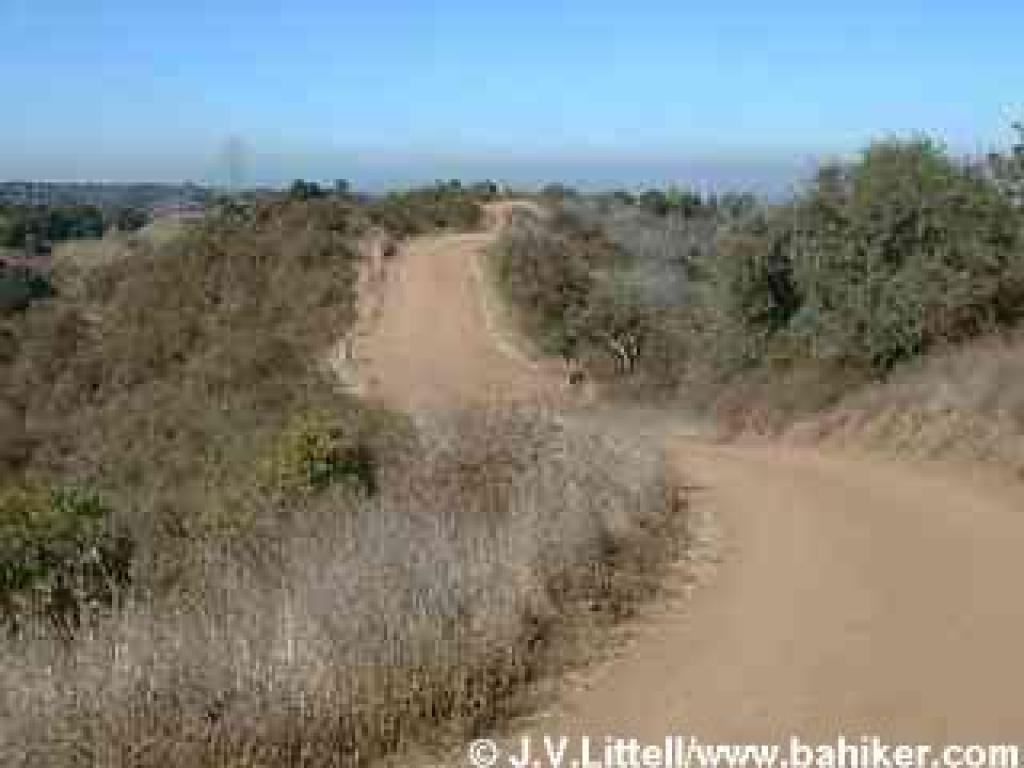 ridgetop trail draws near to some houses, a water tank, and a few pines on the right, before veering back into chaparral. Coyote Ridge Trail begins a plunge back toward Stevens Creek County Park. At 5.04 miles, stay to the left at a junction with an unnamed trail (it deadends after 0.4 mile).
The descent is sharp, and beware of cyclists traveling downhill. High tension power towers accompany coast live oak, buckeye, blue elderberry, toyon, and hollyleaf cherry along the trail. At 5.73 miles, you'll reach a previously encountered junction. If you want a different walk back to the parking area, walk straight a few feet, then look to the left for a break in the fence just past the junction and "no horses" sign. This path, Rim Trail, runs along Stevens Canyon Road and ends near the parking lot. I prefer the gentle sound of running water to the roar of a diesel (most of the time), so continue back the way you came, to the parking lot at Baytree Picnic Area.
 Stevens Creek County Park. Are you bothered by crowds? Then go on a weekday. Dislike the roar of quarry trucks? Your best bet is a weekend hike. The quarry on Stevens Canyon Road, on the west shore of the reservoir, is very noisy, but the trucks roar Monday through Friday, taking Saturday and Sunday off. That's when throngs of fishermen descend to Stevens Creek Reservoir, cyclists zip up and down the steep fire roads, picnickers unfurl their blankets, and archers let their arrows fly at a range in the southeast corner of Stevens Creek Park.
Stevens Creek is Santa Clara County's first park. The county has gradually increased the park from an original 1924 400 acre purchase to 1,042 acres. Fremont Older Open Space Preserve abuts the park to the east, and Picchetti Ranch Open Space Preserve to the west, permitting long loops and out-and-back
 excursions for cyclists, hikers, and equestrians. From the trailhead at Baytree Picnic Area, there aren't any short loops, although an out-and-back hike on Stevens Creek Tony Look Trail would be a good choice for a brief walk. For a longer hike, you can extend this featured hike by visiting Nob Hill, on the southeast corner of Fremont Older (see MROSD's Fremont Older map), then taking Toyon and Bay View Trails back to Coyote Ridge Trail. The trail systems at Fremont Older and Pichetti Ranch are more conducive to shorter hikes.
Although Stevens Creek Tony Look Trail is mostly shaded, I wouldn't recommend a summer hike at Stevens Creek County Park or Fremont Older. Too much valley smog. Autumn is nice, with attractive sycamore, cottonwood, big-leaf maple, and cercocarpus foliage. In winter there are tiny waterfalls on Stevens Creek Tony Look Trail, and spring brings
 wildflowers to the grassland and woods.
For the featured hike, start at Baytree Picnic Area's parking lot. Walk back along the park road, cross the bridge, and after about 180 feet, turn right onto gated and signed Stevens Creek Tony Look Trail. The broad trail, open to hikers and cyclists, follows along Stevens Creek. The slightly ascending trail is well-shaded by California bay and coast live oak, as well as clusters of sycamore, big-leaf maple, cottonwood, and alder, all pretty in autumn. At 0.40 mile, there's a fenced flat area, and a few steps later you'll reach a signed junction, with Stevens Creek Tony Look Trail veering off to the right, and Coyote Ridge Trail beginning the climb to the ridge on the left. Stay to the right on Stevens Creek Tony Look Trail.
After a brief climb through coyote brush, poison oak, and sagebrush, the trail levels out. A few coast live oak shade the trail as it edges near the reservoir. A short section of fence, blocking off the spillway, ends and you can reach the water's edge, but no wading or swimming is permitted. The trail, with
 coast live oak, toyon, and coyote brush prominent, follows along the shore until 0.76 mile, when Stevens Creek Tony Look Trail swings to the left. The other trail ends about 0.2 mile further. Turn left to remain on Stevens Creek Tony Look Trail.
Check out the boy scout-built bat house at the junction. This portion of the trail was built in 1988 by volunteers, and it's a fantastic hiking-only path through woods of coast live oak, buckeye, California bay, poison oak, creambush, and toyon. If you think of blackberry as a benign plant, check out the spot not far from the junction where vines have completely overtaken the understory. Switchbacks smooth out the elevation gain. At the highest point along the trail, the path cuts through an amazing patch of old-growth chaparral. Some of the shrubs, especially the chamise, are the size of small trees. You might also see sagebrush, toyon, pitcher sage, cercocarpus, and hollyleaf cherry. Views to the forested slopes across the reservoir are unobstructed. The trail snakes downhill,
 passing through a grassy area with some elegant coast live oaks. A fence guards a steep dropoff as the trail drops to a bridge. There's nowhere to go but up, and Stevens Creek Tony Look Trail climbs a bit before reaching a clear spot with yerba santa-framed views of the southern tip of the reservoir. In autumn, look for lovely golden leaves on sycamores at the shoreline. Stevens Creek Tony Look Trail descends again, and another fence prevents shortcuts as a shallow switchback channels the trail downhill. Through the trees you might see ducks and herons in the quiet pools of the reservoir. The narrow trail edges beneath a strange slab of rock where small seasonal waterfalls feed the reservoir on rainy winter days. After one last bridge, the trail climbs through grassy woodland and reaches Laurel Flat, the end of the volunteer built section of trail. The trail widens and passes what seems to be the park dump on the left. At 2.76 miles a gate blocks the fire road's exit to Stevens Canyon Road. Take the trail to the left.
This small, hiking-only trail winds around the back of Madrone and Sycamore Group Picnic Areas. Stay to the left at two unsigned junctions, at 2.82 and 2.92 miles. This path becomes Lookout Trail somewhere along
 here (the Fremont Older map suggests the transition at the Madrone Group Area; it doesn't really matter because it's the only trail at this point). The trail is very narrow in sections, and although switchbacks cushion the blow of much of the climb, the ascent will have your heart pumping. Luckily, the trail is thickly forested with coast live oak and California bay, so it's cool and shady. Look for creambush and gooseberry in the understory. At a grassy flat spot on the right side of the trail, a break in the trees reveals a spectacular view to the southwest (this is a nice lunch spot). In autumn, on the high, sloping vineyards across the valley, grape leaves, lit with color, stand out from the surrounding chaparral and woods. At 3.63 miles, Lookout Trail crests and crosses through a gate into Fremont Older and grassland.
The trail drops down a bare slope near a power line (there's a faint path that bypasses the sharp descent to the left), then climbs easily to two junctions at 3.71 and 3.77 miles. Go straight
 at the first junction, and then at the second, turn right onto Vista Loop Trail. (Either branch of Vista Loop Trail will hook up with Coyote Ridge Trail eventually, but the trail to the right has nicer views to the east.) You'll walk down a broad, level multi-use dirt road lined with eucalyptus trees, with nice views south to Mount Umunhum. The archery range is visible down the slope to the right. At 3.92 miles, turn left at a signed junction onto Coyote Ridge Trail.
Coyote Ridge Trail is a hiking, bicycling, and equestrian trail, so be alert for traffic. The trail climbs a little, and there are views back downhill to Lookout Trail. At 4.13 miles, a spur trail not on the map (but marked by a faded wooden informative sign) leads to the highest point in the preserve. Take the short trail uphill to the right to Maisie's Peak.
This vantage point offers particularly good views of the eastern portion of Fremont Older. On a clear day you should be able to see Mission Peak, Mount Diablo, Mount Hamilton, Mount Umunhum, and even San Francisco and Mount Tamalpais. Maisie's Peak is a great lunch or break spot, but it can get uncomfortably windy in winter. When you are ready to continue, return to Coyote Ridge Trail,
 turn right and then continue straight at the signed junction with Vista Loop Trail,at 4.27 miles.
Grassy slopes visible on the left side of the trail are crisscrossed with animal paths. Look for deer and coyote footprints on the ground, and vultures and hawks soaring in the thermals overhead. Poison oak, toyon, sagebrush, scrub oak, monkeyflower, cercocarpus, coyote brush, and chamise take over the landscape, but there are some occasional pockets of coast live oak and blue oak. Coyote Ridge Trail rises and falls a bit as it passes three signed junctions: the first with a trail descending to Bay View Trail (at 4.43 miles), the second with Fern Trail (at 4.49 miles; not on the Stevens Creek County Park map), and lastly with another spur leading down to Bay View Trail (at 4.57 miles). Stay on Coyote Ridge Trail at each junction.
The
 ridgetop trail draws near to some houses, a water tank, and a few pines on the right, before veering back into chaparral. Coyote Ridge Trail begins a plunge back toward Stevens Creek County Park. At 5.04 miles, stay to the left at a junction with an unnamed trail (it deadends after 0.4 mile).
The descent is sharp, and beware of cyclists traveling downhill. High tension power towers accompany coast live oak, buckeye, blue elderberry, toyon, and hollyleaf cherry along the trail. At 5.73 miles, you'll reach a previously encountered junction. If you want a different walk back to the parking area, walk straight a few feet, then look to the left for a break in the fence just past the junction and "no horses" sign. This path, Rim Trail, runs along Stevens Canyon Road and ends near the parking lot. I prefer the gentle sound of running water to the roar of a diesel (most of the time), so continue back the way you came, to the parking lot at Baytree Picnic Area.
Total distance: 6.13 miles
March 12th Team Run!
Getting there:
From Interstate 280 in Santa Clara County, take CA 85 south (toward Gilroy). After about 12 miles, exit at Almaden Expressway, stay in the ramp's middle/right lane, make the first left, then the next right onto Almaden Expressway. Drive about 5 miles to the end of Almaden Expressway, and turn right onto Harry. Almost immediately, turn left onto McKean. Drive about 5 miles to the far end of the Calero Reservoir (past the entrance near the boat launch), then turn right into the park. Continue about 0.2 mile to the parking area on the right side of the road.
From Interstate 280 in Santa Clara County, take CA 85 south (toward Gilroy). After about 12 miles, exit at Almaden Expressway, stay in the ramp's middle/right lane, make the first left, then the next right onto Almaden Expressway. Drive about 5 miles to the end of Almaden Expressway, and turn right onto Harry. Almost immediately, turn left onto McKean. Drive about 5 miles to the far end of the Calero Reservoir (past the entrance near the boat launch), then turn right into the park. Continue about 0.2 mile to the parking area on the right side of the road.
Calero County Park is a treasure for hikers seeking solitude, especially from cyclists and dog walkers. The park is open only to equestrians and hikers, a rarity in the south bay. While there is a stable on the park's grounds, I encountered only one equestrian (and one other hiker) on a weekday visit. The trails obviously get more equestrian use on the weekends, and in the winter muddy, rutted trails are a reality. But on a weekday in the dry months, the lonely trails provides ample quiet time for nature study and daydreaming, particularly in the spring, when the park's grasslands are dotted with wildflowers. With a field guide in hand a curious hiker can spend the whole day at Calero identifying and admiring the splendid displays of blooming flowers.
The park's trails sprawl on the south side of the Calero Reservoir. Since the boat launch is on the north side of the reservoir, the southern shore is mostly free of boaters and fishermen, although the kind of garbage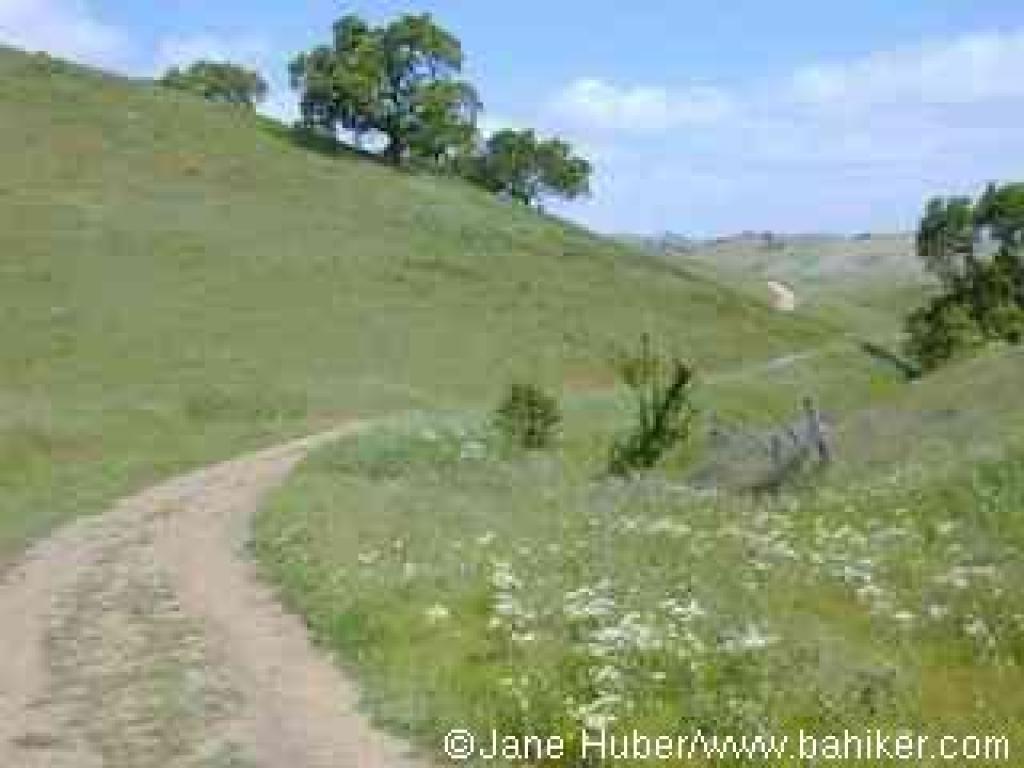 prone to reservoir usage may be found sprinkled around the water's edge at times.
There are a few loop options available. A 2.6 mile stretch includes Figueroa, Vallecito, Peña, and Los Cerritos Trails. This hike does not approach the reservoir's shores at all, instead climbing along a creek to a ridgeline with great views of Mount Hamilton, and finally descending around the edge of lovely small pond. The grand loop at Calero is a 7.5 mile trek that explores the different regions of the park. Combine Los Cerritos, Peña, the Javelina Loop, and Figueroa Trails, and prepare for an inspiring, sometimes steep hike. If you're short on time or energy, Los Cerritos Pond is a short round trip of less than 0.5 mile from the trailhead.
For the featured hike, cross the street from the trailhead and go through the gate which marks the start of the trail. Walk on this short connector which edges around a fenced horse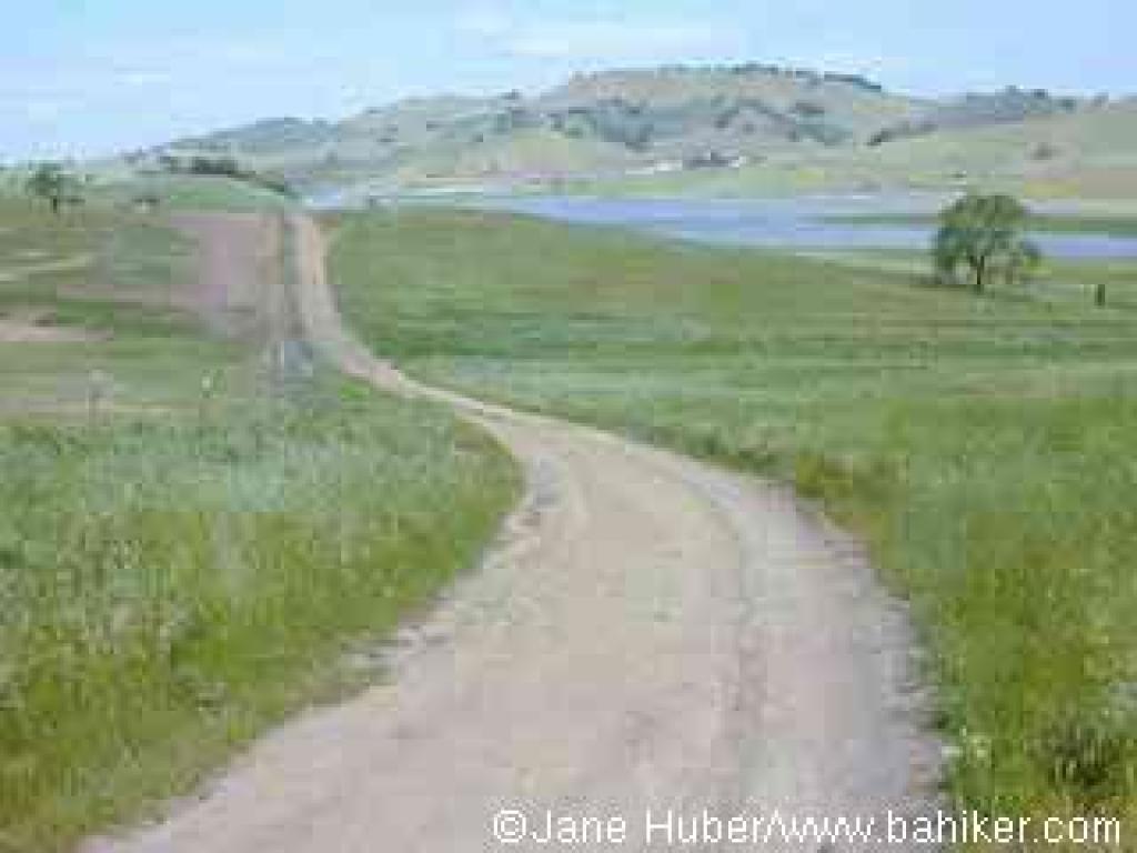 grazing area, passes an information signboard, then ends at the unsigned junction of Los Cerritos and Figueroa Trails, at 0.21 mile. In the damp seep downhill from Los Cerritos Pond, spring flowers, including the yellow/orange fiddlenecks flourish. Curly dock is another prominent water-loving plant found along the sides of the trail. It's tough to miss in the late summer, when its reddish-colored seed pods jut up from the leaves. The seeds are devoured by deer, fox, and coyote, and evident in their scat. Take Los Cerritos Trail uphill to the right.
The dirt path winds along the shore of Los Cerritos Pond. A wooden deck beneath an oak tree makes for a fine resting spot, or destination. The hilltops to the southwest are thick with trees, but the Los Cerritos Trail, which initially stays close to the reservoir, cuts mostly through open grassland. In the spring, deciduous oaks are easy to pick out, as their soft green leaves are just pushing out of their buds. Buckeyes are already fully engulfed in fresh foliage by late winter. Los Cerritos Trail crests just past the pond, then drops back down and crosses a creek. After a short climb, at 0.60 miles, Los Cerritos Trail meets Peña Trail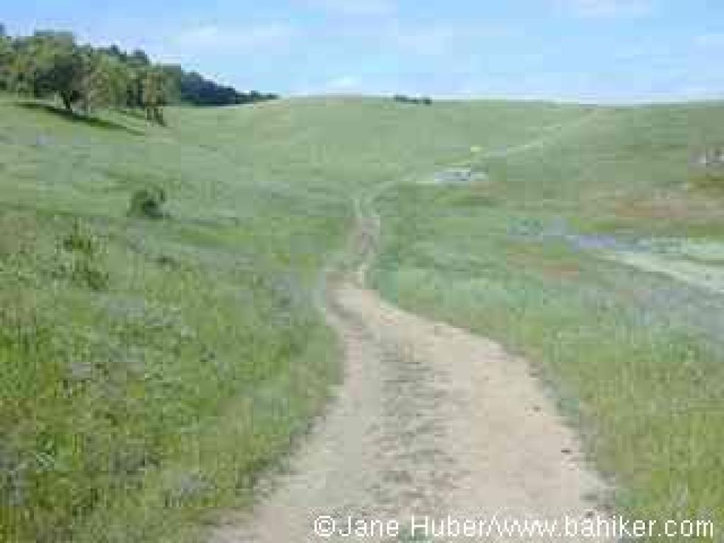 at a signed junction. Continue on Los Cerritos Trail.
Los Cerritos Trail cuts a straight path through the grass.Yellow California buttercups, white wild radish, pink checker-blooms, and orange johnny jump-ups dotted the hillside on a hike in March. The path curves to the right and nears the Calero Ranch Stables. On the first day of spring I watched a horse rolling on her back in a sandy spot, like a happy dog. A large stand of mustard grows off the side of the trail. Stay to the left on Los Cerritos Trail, and note that, although the stables would make a fine shortcut back to the trailhead, access is for boarding equestrians only. As the trail climbs slightly, you may see ground squirrels scurrying about, trying to evade the many hawks soaring around the reservoir. Los Cerritos Trail crests, then descends gently toward the water. The Bailey Fellows House is visible back to the right, on the shore of the reservoir. In the grass on the sides of the trail, look for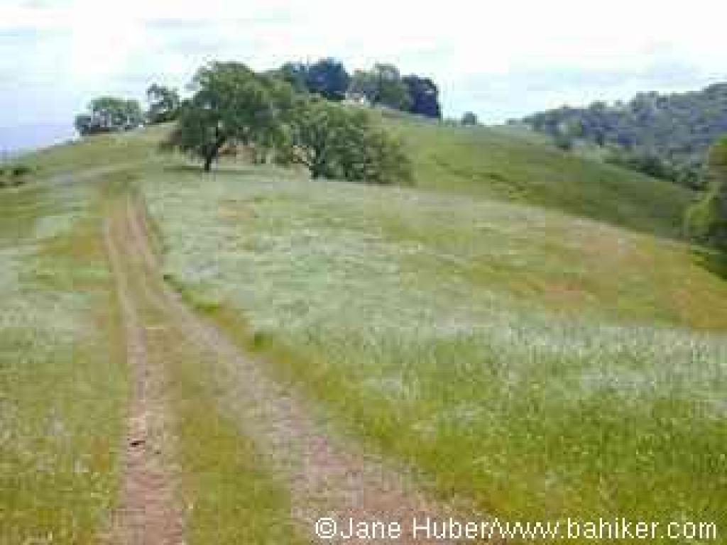 blue-eyed grass blossoms in spring. Ducks and grebes swim and fish in the shallow water near the reservoir's edge. Overhead, in addition to hawks and vultures, you may see seagulls. Some large clumps of serpentine rock near the water harbor shrubs of poison oak. Los Cerritos sweeps uphill and then turns left, away from the reservoir. The trail continues to climb through some oaks, and gooseberry and poison oak are common close to the ground. At a flat spot, your climbing is rewarded with a view to the west, including the hills of Almaden Quicksilver County Park, and beyond, to Mount Umunhum. The grassy plateau on the left side of the trail is a perfect spot for some lazy spring flower identification, or for a sunny snooze. Sprinkled through the luxuriant lawn-like grass are popcorn flowers, Johnny jump-ups, and creamcups. Los Cerritos Trail winds through some oaks, and renews its climb. Oak Cove can be glimpsed back to the right; the Javelina Loop accesses the just-out-of-site Cherry Cove section of the park. After a short dip in elevation, Los Cerritos Trail climbs in earnest. If you find
 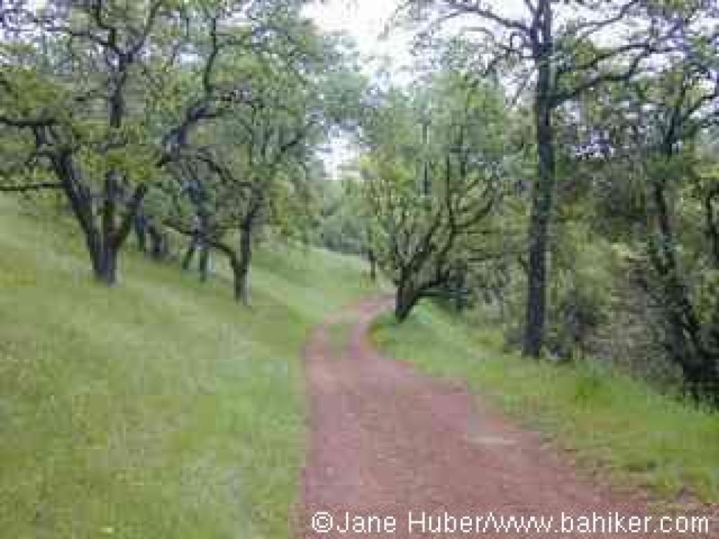 yourself panting on the side of the path, be sure to look back behind you for a great view of the reservoir. Los Cerritos finally exhausts itself and ends at a signed junction with Peña Trail at 2.72 miles. (If you're ready to head back to the trailhead, turn left onto Peña Trail and descend to Los Cerritos Trail, turn right and retrace your steps to the trailhead.)Turn right on Peña Trail.
The wide dirt road continues to climb. As you draw close to the crest, oaks and poison oak overtake the grassland. A service road breaks off to the left; continue right on Peña, which curves around the top of the hill and begins a downward stretch. Javelina Loop is visible, and the mountains of the Sierra Azul stand in the distance to the southwest. Peña Trail descends to a signed junction beneath a grove of California bays at 3.09 miles. (If you want to extend your hike 2.6 more miles, take Javelina Loop Trail to the right.) For the featured hike, take the trail to the left, Figueroa Trail.
Figueroa Trail ambles downhill along a creek. California sagebrush grows throughout a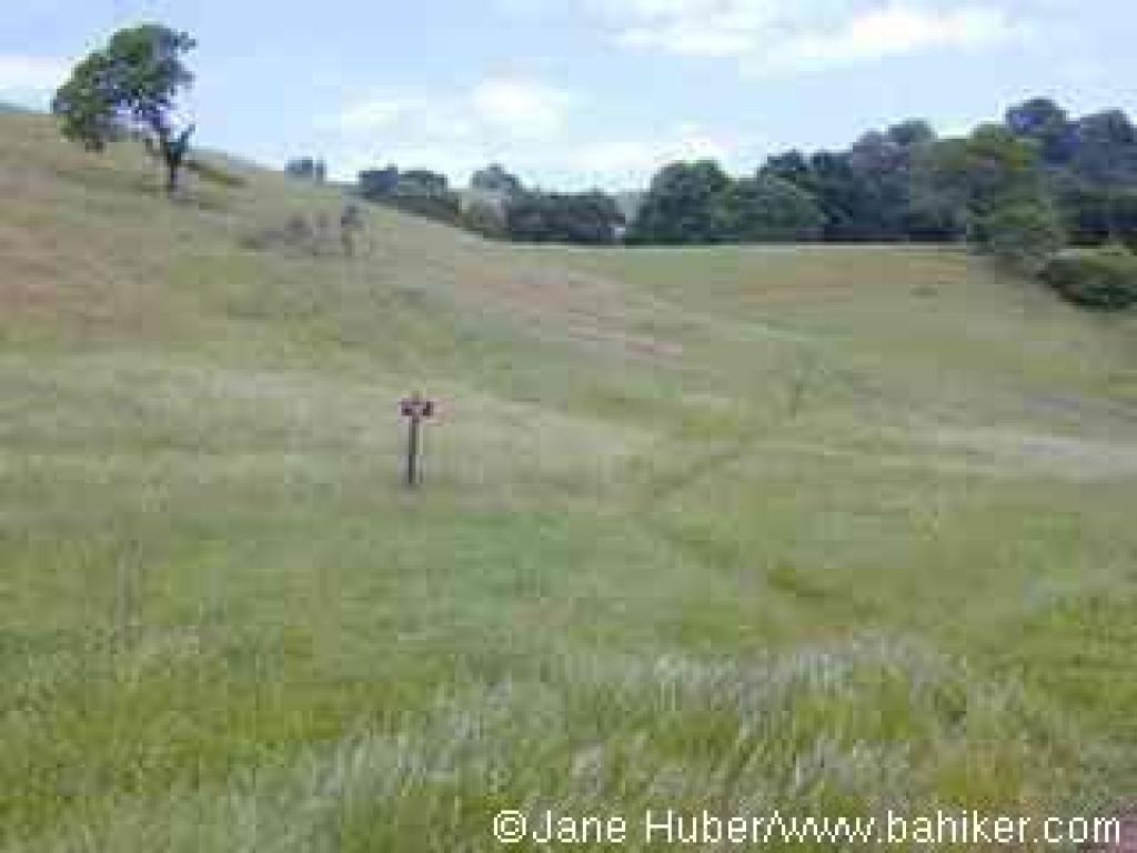 grass and oak lined hillside in sporadic clumps on the left side of the trail. This trail edges along the park's property boundary; you may notice that down the steep slope to the right a sturdy-looking barbed wire fence runs along the creekbed. As Figueroa Trail leaves the tree cover behind and enters the edge of a meadow, this is a good spot to compare the different vegetation zones of the area. The hills to the right (southwest) are forested; the hills to the left (northeast) are lightly sprinkled with oaks, but dominated by grassland. At 3.77 miles, Figueroa Trail meets Vallecito Trail at a signed, but easy to miss junction. (If you like Figueroa Trail so far, you could continue to the previously encountered junction with Los Cerritos Trail and return to the trailhead.) Turn left onto Vallecito Trail.
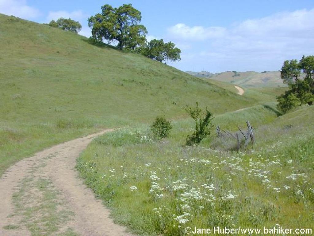
This trail used to be a hiking-only path, but now, like the rest of Calero's trails, it is open to hikers and equestrians. Vallecito Trail is one of the best places in the bay area for an intimate walk through grassland. The trail is so insignificant, especially at the start, that you may have a "Sound of Music" moment and run through the grass with your arms spread wide, singing "the hills are alive" and whatnot. California poppies, filaree, fiddlenecks, Johnny jump-ups, and bicolor lupine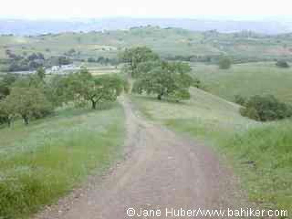 add brilliant color to the verdant grass in early spring. Deer may be glimpsed in the distance. A small creek runs through the valley floor downslope to the right. Vallecito Trail crosses a damp spot and then begins to climb. Poison oak islands off the left side of the trail add a burst of color to the hillside in the autumn when their leaves turn red. A few oaks dot the slopes. As the path nears the crest, be sure to look back for a lovely view of the valley. The unsigned junction with Peña Trail comes into view, as Vallecito Trail ends at 4.27 miles. Turn right onto Peña Trail.
The broad dirt fire road descends rather sharply, affording terrific views of the reservoir, US 101, and Mount Hamilton. At 4.53 miles, Peña Trail ends at the previously encountered junction with Los Cerritos Trail. Turn right on Los Cerritos Trail and retrace your steps back to the trailhead.
Total distance: 5.13 miles
 especially from cyclists and dog walkers. The park is open only to equestrians and hikers, a rarity in the south bay. While there is a stable on the park's grounds, I encountered only one equestrian (and one other hiker) on a weekday visit. The trails obviously get more equestrian use on the weekends, and in the winter muddy, rutted trails are a reality. But on a weekday in the dry months, the lonely trails provides ample quiet time for nature study and daydreaming, particularly in the spring, when the park's grasslands are dotted with wildflowers. With a field guide in hand a curious hiker can spend the whole day at Calero identifying and admiring the splendid displays of blooming flowers.
The park's trails sprawl on the south side of the Calero Reservoir. Since the boat launch is on the north side of the reservoir, the southern shore is mostly free of boaters and fishermen, although the kind of garbage
 prone to reservoir usage may be found sprinkled around the water's edge at times.
There are a few loop options available. A 2.6 mile stretch includes Figueroa, Vallecito, Peña, and Los Cerritos Trails. This hike does not approach the reservoir's shores at all, instead climbing along a creek to a ridgeline with great views of Mount Hamilton, and finally descending around the edge of lovely small pond. The grand loop at Calero is a 7.5 mile trek that explores the different regions of the park. Combine Los Cerritos, Peña, the Javelina Loop, and Figueroa Trails, and prepare for an inspiring, sometimes steep hike. If you're short on time or energy, Los Cerritos Pond is a short round trip of less than 0.5 mile from the trailhead.
For the featured hike, cross the street from the trailhead and go through the gate which marks the start of the trail. Walk on this short connector which edges around a fenced horse
 grazing area, passes an information signboard, then ends at the unsigned junction of Los Cerritos and Figueroa Trails, at 0.21 mile. In the damp seep downhill from Los Cerritos Pond, spring flowers, including the yellow/orange fiddlenecks flourish. Curly dock is another prominent water-loving plant found along the sides of the trail. It's tough to miss in the late summer, when its reddish-colored seed pods jut up from the leaves. The seeds are devoured by deer, fox, and coyote, and evident in their scat. Take Los Cerritos Trail uphill to the right.
The dirt path winds along the shore of Los Cerritos Pond. A wooden deck beneath an oak tree makes for a fine resting spot, or destination. The hilltops to the southwest are thick with trees, but the Los Cerritos Trail, which initially stays close to the reservoir, cuts mostly through open grassland. In the spring, deciduous oaks are easy to pick out, as their soft green leaves are just pushing out of their buds. Buckeyes are already fully engulfed in fresh foliage by late winter. Los Cerritos Trail crests just past the pond, then drops back down and crosses a creek. After a short climb, at 0.60 miles, Los Cerritos Trail meets Peña Trail
 at a signed junction. Continue on Los Cerritos Trail.
Los Cerritos Trail cuts a straight path through the grass.Yellow California buttercups, white wild radish, pink checker-blooms, and orange johnny jump-ups dotted the hillside on a hike in March. The path curves to the right and nears the Calero Ranch Stables. On the first day of spring I watched a horse rolling on her back in a sandy spot, like a happy dog. A large stand of mustard grows off the side of the trail. Stay to the left on Los Cerritos Trail, and note that, although the stables would make a fine shortcut back to the trailhead, access is for boarding equestrians only. As the trail climbs slightly, you may see ground squirrels scurrying about, trying to evade the many hawks soaring around the reservoir. Los Cerritos Trail crests, then descends gently toward the water. The Bailey Fellows House is visible back to the right, on the shore of the reservoir. In the grass on the sides of the trail, look for
 blue-eyed grass blossoms in spring. Ducks and grebes swim and fish in the shallow water near the reservoir's edge. Overhead, in addition to hawks and vultures, you may see seagulls. Some large clumps of serpentine rock near the water harbor shrubs of poison oak. Los Cerritos sweeps uphill and then turns left, away from the reservoir. The trail continues to climb through some oaks, and gooseberry and poison oak are common close to the ground. At a flat spot, your climbing is rewarded with a view to the west, including the hills of Almaden Quicksilver County Park, and beyond, to Mount Umunhum. The grassy plateau on the left side of the trail is a perfect spot for some lazy spring flower identification, or for a sunny snooze. Sprinkled through the luxuriant lawn-like grass are popcorn flowers, Johnny jump-ups, and creamcups. Los Cerritos Trail winds through some oaks, and renews its climb. Oak Cove can be glimpsed back to the right; the Javelina Loop accesses the just-out-of-site Cherry Cove section of the park. After a short dip in elevation, Los Cerritos Trail climbs in earnest. If you find
 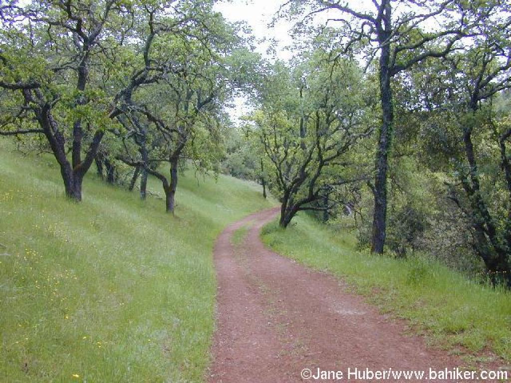 yourself panting on the side of the path, be sure to look back behind you for a great view of the reservoir. Los Cerritos finally exhausts itself and ends at a signed junction with Peña Trail at 2.72 miles. (If you're ready to head back to the trailhead, turn left onto Peña Trail and descend to Los Cerritos Trail, turn right and retrace your steps to the trailhead.)Turn right on Peña Trail.
The wide dirt road continues to climb. As you draw close to the crest, oaks and poison oak overtake the grassland. A service road breaks off to the left; continue right on Peña, which curves around the top of the hill and begins a downward stretch. Javelina Loop is visible, and the mountains of the Sierra Azul stand in the distance to the southwest. Peña Trail descends to a signed junction beneath a grove of California bays at 3.09 miles. (If you want to extend your hike 2.6 more miles, take Javelina Loop Trail to the right.) For the featured hike, take the trail to the left, Figueroa Trail.
Figueroa Trail ambles downhill along a creek. California sagebrush grows throughout a
 grass and oak lined hillside in sporadic clumps on the left side of the trail. This trail edges along the park's property boundary; you may notice that down the steep slope to the right a sturdy-looking barbed wire fence runs along the creekbed. As Figueroa Trail leaves the tree cover behind and enters the edge of a meadow, this is a good spot to compare the different vegetation zones of the area. The hills to the right (southwest) are forested; the hills to the left (northeast) are lightly sprinkled with oaks, but dominated by grassland. At 3.77 miles, Figueroa Trail meets Vallecito Trail at a signed, but easy to miss junction. (If you like Figueroa Trail so far, you could continue to the previously encountered junction with Los Cerritos Trail and return to the trailhead.) Turn left onto Vallecito Trail.
This trail used to be a hiking-only path, but now, like the rest of Calero's trails, it is open to hikers and equestrians. Vallecito Trail is one of the best places in the bay area for an intimate walk through grassland. The trail is so insignificant, especially at the start, that you may have a "Sound of Music" moment and run through the grass with your arms spread wide, singing "the hills are alive" and whatnot. California poppies, filaree, fiddlenecks, Johnny jump-ups, and bicolor lupine
 add brilliant color to the verdant grass in early spring. Deer may be glimpsed in the distance. A small creek runs through the valley floor downslope to the right. Vallecito Trail crosses a damp spot and then begins to climb. Poison oak islands off the left side of the trail add a burst of color to the hillside in the autumn when their leaves turn red. A few oaks dot the slopes. As the path nears the crest, be sure to look back for a lovely view of the valley. The unsigned junction with Peña Trail comes into view, as Vallecito Trail ends at 4.27 miles. Turn right onto Peña Trail.
The broad dirt fire road descends rather sharply, affording terrific views of the reservoir, US 101, and Mount Hamilton. At 4.53 miles, Peña Trail ends at the previously encountered junction with Los Cerritos Trail. Turn right on Los Cerritos Trail and retrace your steps back to the trailhead.
Total distance: 5.13 miles
March 19th Team Run!
Getting there:
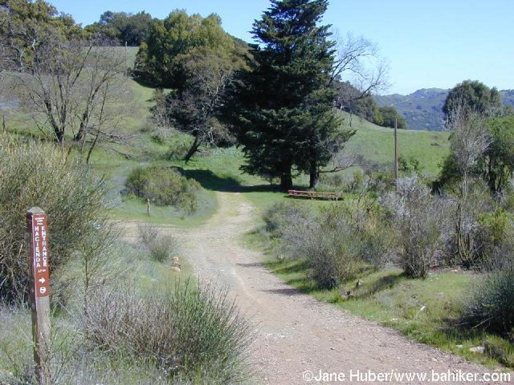
From Interstate 280 in Santa Clara County, take CA 85 south (toward Gilroy). After about 12 miles, exit at Almaden Expressway, stay in either of the ramp's two right lanes, make the first left, then the next right onto Almaden Expressway. Drive about 4 miles, then turn right onto Almaden Road. Drive on Almaden about 3 miles to the Hacienda Trailhead on the right side of the road. (If you reach the Hicks Road intersection you've gone too far.)
From Interstate 280 in Santa Clara County, take CA 85 south (toward Gilroy). After about 12 miles, exit at Almaden Expressway, stay in either of the ramp's two right lanes, make the first left, then the next right onto Almaden Expressway. Drive about 4 miles, then turn right onto Almaden Road. Drive on Almaden about 3 miles to the Hacienda Trailhead on the right side of the road. (If you reach the Hicks Road intersection you've gone too far.)
For this featured hike, start at the Hacienda Trailhead.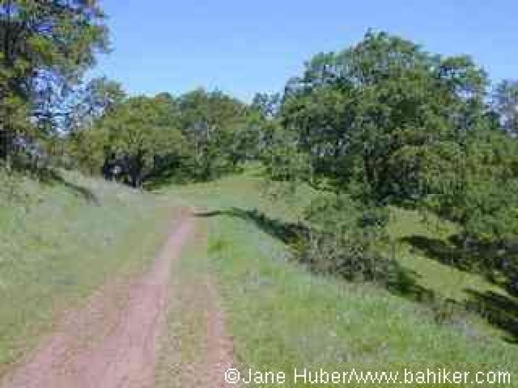 Walk around the gate and uphill on Mine Hill Trail. This trail, a wide dirt road, was used as a road during years of the mining operations. In fact, you may notice about 0.85 mile up this trail, two old crashed cars down the slope on the east (right) side of the trail (click here to see a photo). A few steps up Mine Hill Trail there's an interpretive display on the left side with some old photos and a history of the mining operations. A few valley oak mingle with California bay and big-leaf maple near a creek on the left. The multi-use trail makes a sharp turn right and climbs at a moderate grade, with coast live oak, blue oak, poison oak, sagebrush, and coyote brush along the sides. In spring, you might see bluedicks, filarees, vetch, buttercups, blue and white lupine, and fiddlenecks. At 0.39 mile, you'll reach a signed junction, with Hacienda Trail departing to the right, and English Camp Trail setting off to the left. Continue straight on Mine Hill Trail.
On a clear day the views to the east (Mount Hamilton) and back behind you to the west (the Sierra Azul) are outstanding, and the stillness of the well-graded climb through California bay, coast live oak, toyon, California coffeeberry, chamise, and buckeye is only broken by the buzz of airplanes and bird cries. A few ravines on the left side of the trail, dry in the summer and fall, become tiny waterfalls when the winter rains begin in earnest. From time to time roadcuts expose sections of dirt and rock, giving mineral hounds a close-up look at this park's geology. In spring, look for manroot, shooting stars, monkeyflower, mule-ear sunflowers, woodland star, milkmaids, and miner's lettuce on the left side of Mine Hill Trail. At 1.13 miles, after climbing about 300 feet, Mine Hill Trail reaches Capehorn Pass. A picnic table at this flat spot makes a good place to consult the map, and drink some water. From this signed junction Hacienda Trail runs north through chaparral, then cuts east and loops back south to meet up with Mine Hill Trail. This is a good option if you're ready to turn back down the hill. You could also continue on Mine Hill Trail, turning onto Castillero Trail, then picking up English Camp Trail, for a shorter loop.
 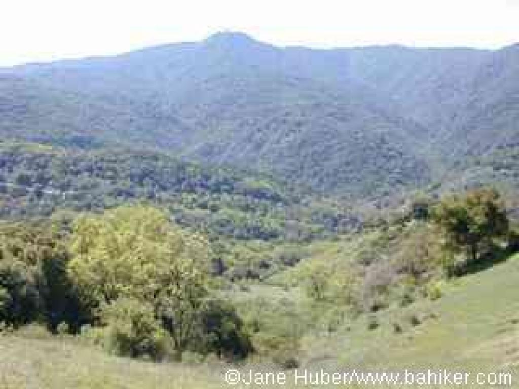 Turn right, pass the picnic table, then turn left onto Randol Trail.
To be blunt, this is my least favorite trail at Almaden Quicksilver. There are pretty sections along the trail, but thanks to urban sprawl a lot of noise drifts into the park from nearby housing developments and streets on the northeast side of the mountain. Nonetheless, Randol is part of a convenient loop, and delivers visitors to a very scenic part of Almaden Quicksilver. The wide, nearly level multi-use fire road heads northwest, passing some historical mining sites and drifting through a variety of plant communities. Initially Randol Trail is lined with chamise, sagebrush, coyote brush, and coast live oak. Look for zigadene and saxifrage in early spring here. As the trail sweeps around the broad mouth of a canyon, there are unobstructed views to gigantic piles of rock debris on the right. At 1.60 miles, you'll arrive at the site of Day Tunnel. An interpretive sign explains the origin of the tunnel, which has been sealed. A few steps later you'll arrive at a signed junction with Day Tunnel Trail, on the left. Continue straight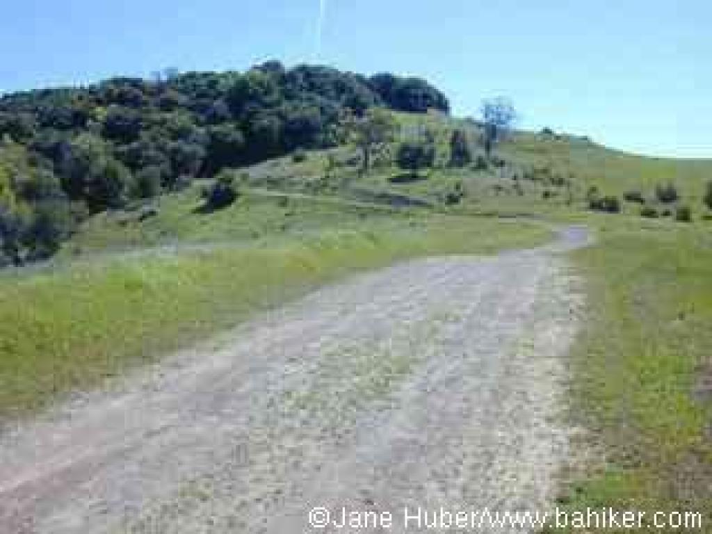 on Randol Trail.
Still keeping to an easy grade, Randol Trail creeps along the hillside, arching around another broad canyon and mining site. At 2.10 miles, Randol Trail breaks off to the right, while Santa Isabel continues straight at a signed junction. Either fork is an option; Randol is about twice as long. Continue straight on Santa Isabel Trail.
When I hiked here in March, there were great drifts of baby blue eyes and sprinklings of shooting stars on the left. Multi-use Santa Isabel Trail ascends slightly through the shade of a California bay grove, then immediately drops back into coast live oaks, and grassland marked by a stand of lovely blue oaks. At 2.51 miles, Santa Isabel ends at the other end of Randol Trail. Bear left onto Randol.
You might see johhny-jump-ups and blue and white lupine along the trail in spring. California bay, coast live, and blue oak are common, but Randol Trail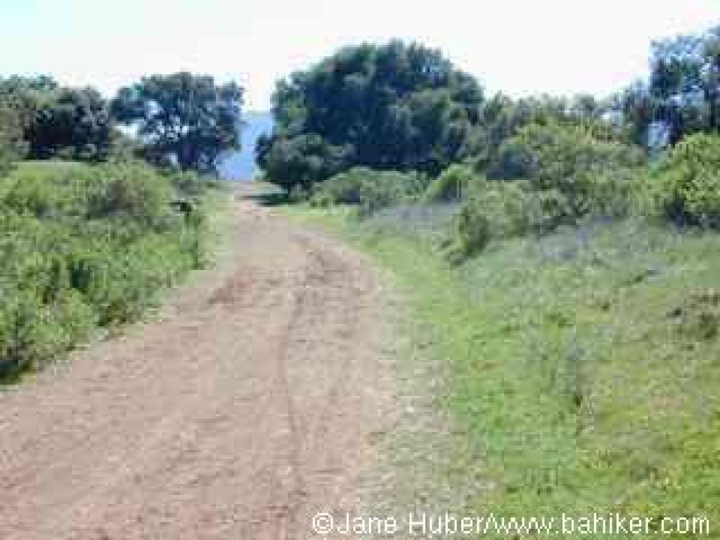 also passes through sunnier stretches where coyote brush is dominant. Gradually, the vegetation shifts to chaparral, and black sage, manzanita, and chamise makes appearances. After one last pass through some shade, Randol Trail emerges into grassland. The hillside rolls away on the right, revealing long views east. At 3.63 miles, you'll reach a signed junction with Prospect #3 Trail. Turn left.
The hiking-only path ascends at a sharp pace, through grassland dotted with massive black and blue oaks. Wildflowers bask in the sunshine here, and you might see patches of small flowered linanthus, johnny-jump-ups, popcorn flower, filaree, and fiddleneck, as well as smatterings of blue-eyed grass, blue and white lupine, and bluedicks. The sojourn through oak grassland ends as the trail veers into the woods. The grade is moderate, with some steep sections, as Prospect #3 Trail ascends through poison oak, black oak, toyon, and coast live oak. At 4.16 miles, Prospect #3 Trail steps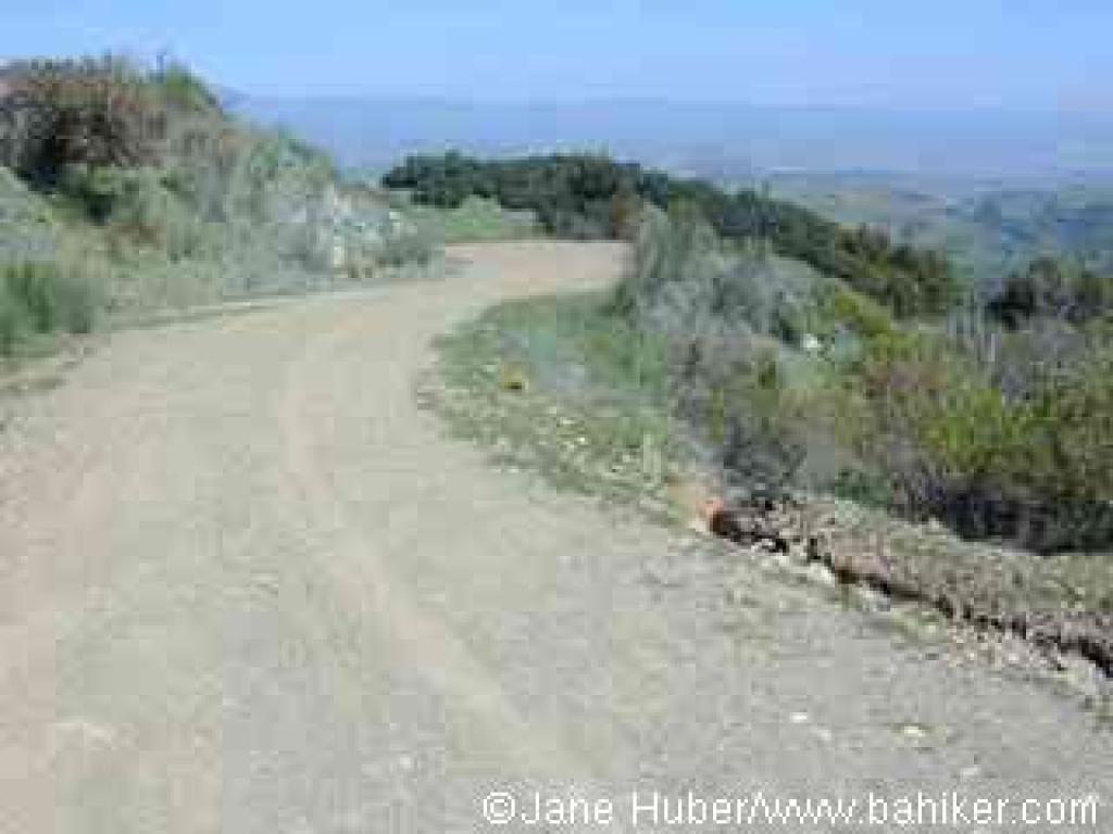 out into grassland, then ends at a signed junction with Mine Hill Trail. Turn left.
This is a picturesque setting with lots to admire. In spring there are colorful blasts of blooms in the grassland, from plants such as California poppy, popcorn flower, blue and white lupine, johnny-jump-up, and fiddleneck. Graceful oaks beckon from the fringes of the ridge. And views unfold to the west encompassing the Sierra Azul, with Mount Umunhum's artificial knob prominent. Mine Hill Trail gently climbs along the ridge, where trees block views to the east. Coast live oaks are common along the multi-use trail, but blue oaks, conspicuous in autumn and spring, can be glimpsed on the sloping hillsides to the right. The trail curves left, avoiding a short climb along the ridge by angling across the hillside, through the shade of California bays. When Mine Hill Trail leaves the woods,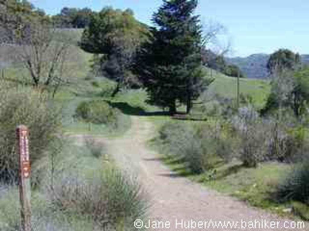 coyote brush lines the trail, nearly obscuring a signed junction, at 4.87 miles, with tiny Catherine Tunnel Trail, on the left.Continue straight.
Mine Hill Trail, here nearly level, reaches a signed junction with Castillero Trail at about 4.93 miles. The junction, called Bull Run on the map, is a logical place for a rest stop, with a few shaded picnic benches on the right. Continue straight, now on Castillero Trail (Mine Hill Trail, which veers to the left, is an optional route).
Castillero Trail, open to hikers, equestrians, and cyclists, winds levelly through coast live oak, a few madrone, and patches of grassland. I happened upon a rattlesnake, stretched across the trail, on my March 2002 hike. Invasive broom appears on the sides of the trail, accompanying sagebrush, poison oak, coyote brush, and California coffeeberry. Castillero Trail crests, then starts an easy descent. Old mine buildings are visible downslope on the right. The trail curves left near a tall eucalyptus tree and ramshackle old building. At 5.68 miles, Hidalgo Cemetery Trail heads out on the right. Continue left, downhill on Castillero Trail.
The broad trail continues to wind downhill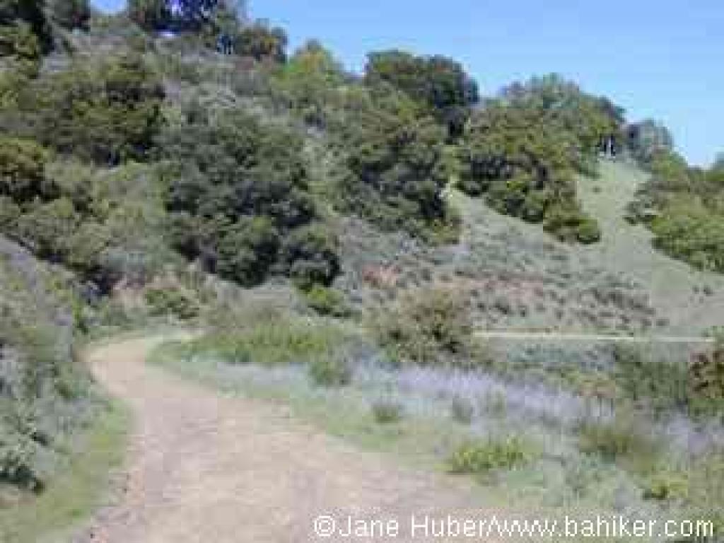 at an easy grade. At 6.03 miles, you'll reach the edge of English Camp, and a series of signed junctions. Yellow Kid Tunnel Trail heads doubles back to the right, toward Hidalgo Cemetery Trail, while Castillero Trail bends left, on its way to connect with Mine Hill Trail. Continue straight, to the right of the flagpole, downhill. A few old buildings stand crumbling on the right, as well as uphill on the left. There are a few picnic tables nearby, and this is a good place for a last rest before completing the final leg of the hike. You can explore the area, but return to the fire road heading southeast, downhill past the picnic tables, English Camp Trail.
English Camp Trail, open to hikers and equestrians only, descends. A grassy hillside on the left side of the trail is a sure bet for spring flowers including blue and white lupine, shooting stars, redmaids, California buttercups, and fiddlenecks. A few coast live oaks fail to provide adequate shade on a hot afternoon. At 6.23 miles, a road sets out on the right side of the trail -- this is the "coming soon" Deep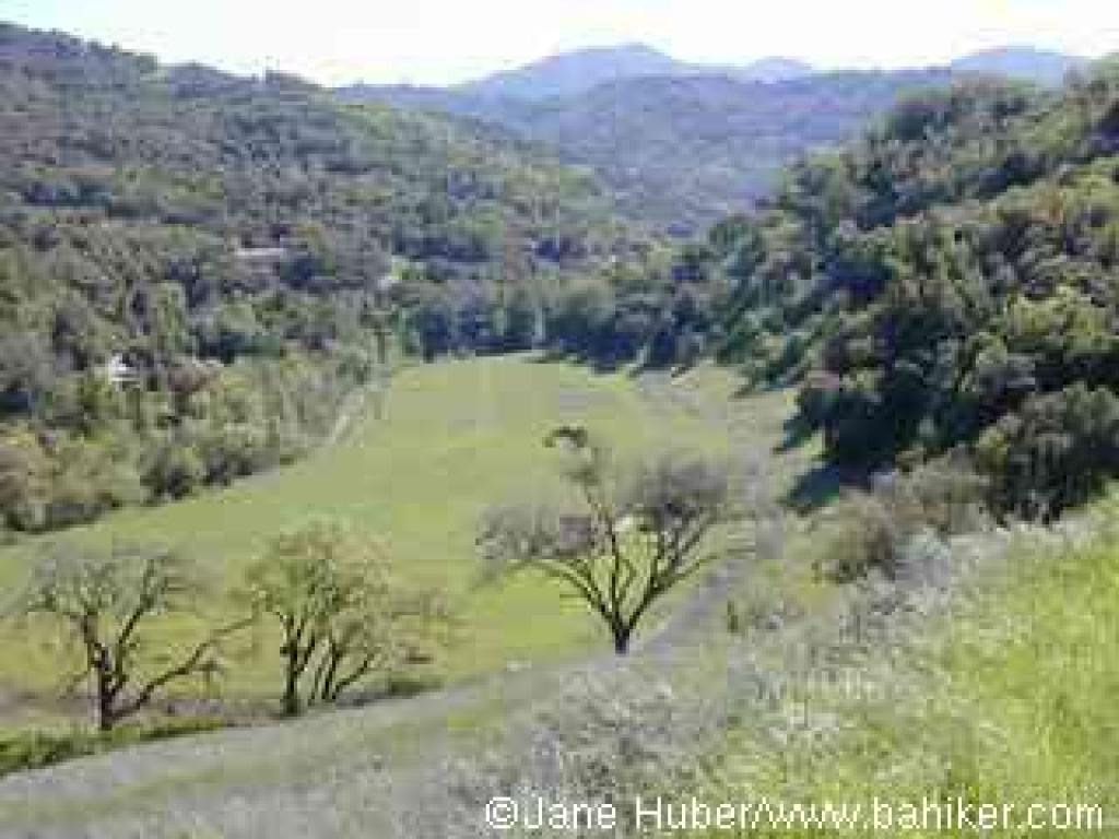 Gulch Trail, which when open, will be an excellent hot weather alternate descent back to the trailhead. Continue straight on English Camp Trail (this junction was still not signed on my 2003 visit).
English Camp Trail, a bit steep in sections, drops down to run above a creekbed shaded by California bay and a few maple, then descends along the edge of a deep canyon, with coyote brush, toyon, black sage, and manzanita bordering the path. Clematis tangles itself in trailside shrubs and trees. Unfortunately, this trail follows a string of power lines down the hill, a less than lovely hiking accompaniment. The mountains of the Sierra Azul stand in a rugged cluster to the west. There is one brief but unwelcome uphill stretch. Gradually the vegetation shifts back to chaparral, grassland and oaks, with bluewitch nightshade, sagebrush, and monkeyflower accompanying blue and coast live oak. At 7.26 miles, English Camp Trail ends at a signed junction with Mine Hill Trail. Turn right and retrace your steps to the trailhead.
 Walk around the gate and uphill on Mine Hill Trail. This trail, a wide dirt road, was used as a road during years of the mining operations. In fact, you may notice about 0.85 mile up this trail, two old crashed cars down the slope on the east (right) side of the trail (click here to see a photo). A few steps up Mine Hill Trail there's an interpretive display on the left side with some old photos and a history of the mining operations. A few valley oak mingle with California bay and big-leaf maple near a creek on the left. The multi-use trail makes a sharp turn right and climbs at a moderate grade, with coast live oak, blue oak, poison oak, sagebrush, and coyote brush along the sides. In spring, you might see bluedicks, filarees, vetch, buttercups, blue and white lupine, and fiddlenecks. At 0.39 mile, you'll reach a signed junction, with Hacienda Trail departing to the right, and English Camp Trail setting off to the left. Continue straight on Mine Hill Trail.
On a clear
 day the views to the east (Mount Hamilton) and back behind you to the west (the Sierra Azul) are outstanding, and the stillness of the well-graded climb through California bay, coast live oak, toyon, California coffeeberry, chamise, and buckeye is only broken by the buzz of airplanes and bird cries. A few ravines on the left side of the trail, dry in the summer and fall, become tiny waterfalls when the winter rains begin in earnest. From time to time roadcuts expose sections of dirt and rock, giving mineral hounds a close-up look at this park's geology. In spring, look for manroot, shooting stars, monkeyflower, mule-ear sunflowers, woodland star, milkmaids, and miner's lettuce on the left side of Mine Hill Trail. At 1.13 miles, after climbing about 300 feet, Mine Hill Trail reaches Capehorn Pass. A picnic table at this flat spot makes a good place to consult the map, and drink some water. From this signed junction Hacienda Trail runs north through chaparral, then cuts east and loops back south to meet up with Mine Hill Trail. This is a good option if you're ready to turn back down the hill. You could also continue on Mine Hill Trail, turning onto Castillero Trail, then picking up English Camp Trail, for a shorter loop.
 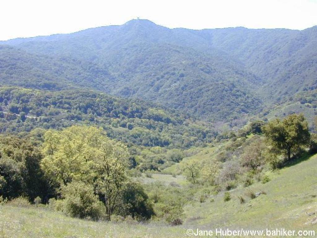 Turn right, pass the picnic table, then turn left onto Randol Trail.
To be blunt, this is my least favorite trail at Almaden Quicksilver. There are pretty sections along the trail, but thanks to urban sprawl a lot of noise drifts into the park from nearby housing developments and streets on the northeast side of the mountain. Nonetheless, Randol is part of a convenient loop, and delivers visitors to a very scenic part of Almaden Quicksilver. The wide, nearly level multi-use fire road heads northwest, passing some historical mining sites and drifting through a variety of plant communities. Initially Randol Trail is lined with chamise, sagebrush, coyote brush, and coast live oak. Look for zigadene and saxifrage in early spring here. As the trail sweeps around the broad mouth of a canyon, there are unobstructed views to gigantic piles of rock debris on the right. At 1.60 miles, you'll arrive at the site of Day Tunnel. An interpretive sign explains the origin of the tunnel, which has been sealed. A few steps later you'll arrive at a signed junction with Day Tunnel Trail, on the left. Continue straight
 on Randol Trail.
Still keeping to an easy grade, Randol Trail creeps along the hillside, arching around another broad canyon and mining site. At 2.10 miles, Randol Trail breaks off to the right, while Santa Isabel continues straight at a signed junction. Either fork is an option; Randol is about twice as long. Continue straight on Santa Isabel Trail.
When I hiked here in March, there were great drifts of baby blue eyes and sprinklings of shooting stars on the left. Multi-use Santa Isabel Trail ascends slightly through the shade of a California bay grove, then immediately drops back into coast live oaks, and grassland marked by a stand of lovely blue oaks. At 2.51 miles, Santa Isabel ends at the other end of Randol Trail. Bear left onto Randol.
You might see johhny-jump-ups and blue and white lupine along the trail in spring. California bay, coast live, and blue oak are common, but Randol Trail
 also passes through sunnier stretches where coyote brush is dominant. Gradually, the vegetation shifts to chaparral, and black sage, manzanita, and chamise makes appearances. After one last pass through some shade, Randol Trail emerges into grassland. The hillside rolls away on the right, revealing long views east. At 3.63 miles, you'll reach a signed junction with Prospect #3 Trail. Turn left.
The hiking-only path ascends at a sharp pace, through grassland dotted with massive black and blue oaks. Wildflowers bask in the sunshine here, and you might see patches of small flowered linanthus, johnny-jump-ups, popcorn flower, filaree, and fiddleneck, as well as smatterings of blue-eyed grass, blue and white lupine, and bluedicks. The sojourn through oak grassland ends as the trail veers into the woods. The grade is moderate, with some steep sections, as Prospect #3 Trail ascends through poison oak, black oak, toyon, and coast live oak. At 4.16 miles, Prospect #3 Trail steps
 out into grassland, then ends at a signed junction with Mine Hill Trail. Turn left.
This is a picturesque setting with lots to admire. In spring there are colorful blasts of blooms in the grassland, from plants such as California poppy, popcorn flower, blue and white lupine, johnny-jump-up, and fiddleneck. Graceful oaks beckon from the fringes of the ridge. And views unfold to the west encompassing the Sierra Azul, with Mount Umunhum's artificial knob prominent. Mine Hill Trail gently climbs along the ridge, where trees block views to the east. Coast live oaks are common along the multi-use trail, but blue oaks, conspicuous in autumn and spring, can be glimpsed on the sloping hillsides to the right. The trail curves left, avoiding a short climb along the ridge by angling across the hillside, through the shade of California bays. When Mine Hill Trail leaves the woods,
 coyote brush lines the trail, nearly obscuring a signed junction, at 4.87 miles, with tiny Catherine Tunnel Trail, on the left.Continue straight.
Mine Hill Trail, here nearly level, reaches a signed junction with Castillero Trail at about 4.93 miles. The junction, called Bull Run on the map, is a logical place for a rest stop, with a few shaded picnic benches on the right. Continue straight, now on Castillero Trail (Mine Hill Trail, which veers to the left, is an optional route).
Castillero Trail, open to hikers, equestrians, and cyclists, winds levelly through coast live oak, a few madrone, and patches of grassland. I happened upon a rattlesnake, stretched across the trail, on my March 2002 hike. Invasive broom appears on the sides of the trail, accompanying sagebrush, poison oak, coyote brush, and California coffeeberry. Castillero Trail crests, then starts an easy descent. Old mine buildings are visible downslope on the right. The trail curves left near a tall eucalyptus tree and ramshackle old building. At 5.68 miles, Hidalgo Cemetery Trail heads out on the right. Continue left, downhill on Castillero Trail.
The broad trail continues to wind downhill
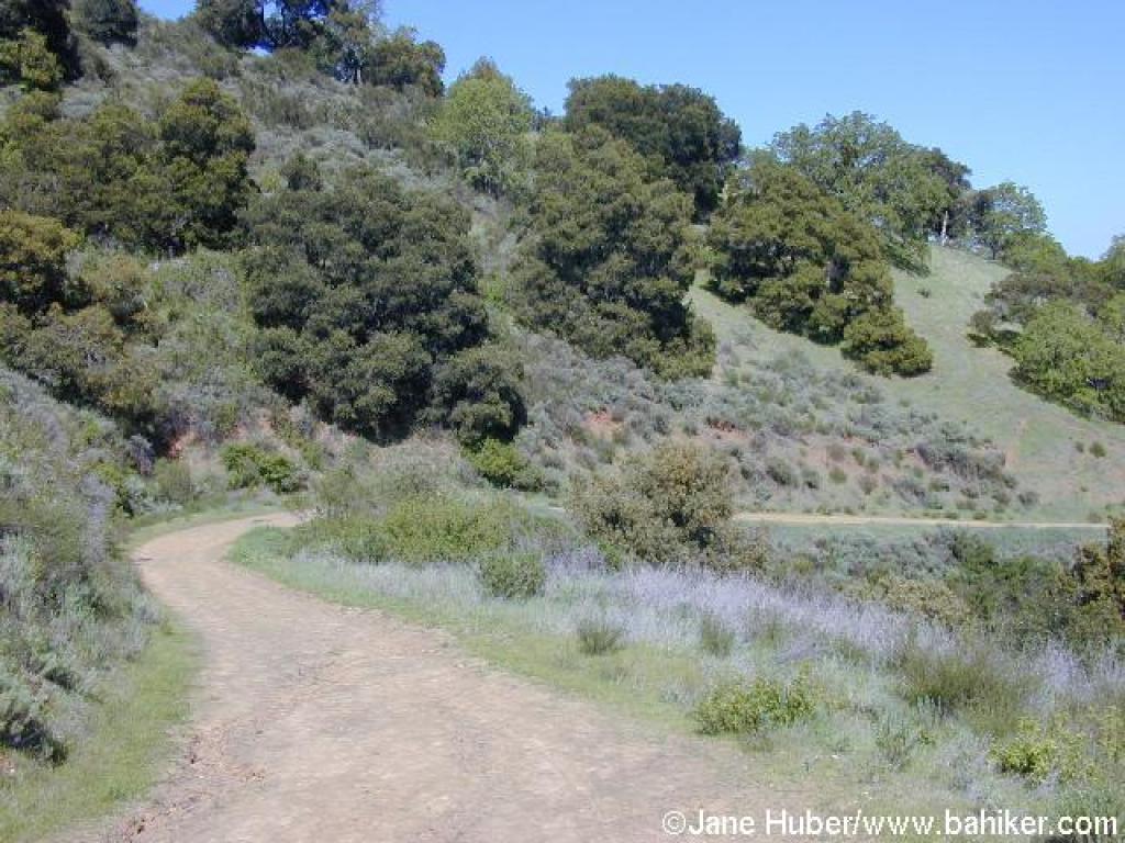 at an easy grade. At 6.03 miles, you'll reach the edge of English Camp, and a series of signed junctions. Yellow Kid Tunnel Trail heads doubles back to the right, toward Hidalgo Cemetery Trail, while Castillero Trail bends left, on its way to connect with Mine Hill Trail. Continue straight, to the right of the flagpole, downhill. A few old buildings stand crumbling on the right, as well as uphill on the left. There are a few picnic tables nearby, and this is a good place for a last rest before completing the final leg of the hike. You can explore the area, but return to the fire road heading southeast, downhill past the picnic tables, English Camp Trail.
English Camp Trail, open to hikers and equestrians only, descends. A grassy hillside on the left side of the trail is a sure bet for spring flowers including blue and white lupine, shooting stars, redmaids, California buttercups, and fiddlenecks. A few coast live oaks fail to provide adequate shade on a hot afternoon. At 6.23 miles, a road sets out on the right side of the trail -- this is the "coming soon" Deep
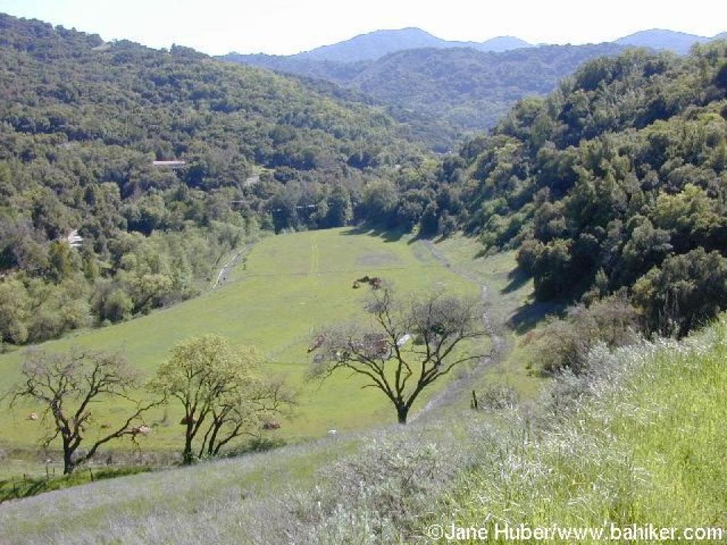 Gulch Trail, which when open, will be an excellent hot weather alternate descent back to the trailhead. Continue straight on English Camp Trail (this junction was still not signed on my 2003 visit).
English Camp Trail, a bit steep in sections, drops down to run above a creekbed shaded by California bay and a few maple, then descends along the edge of a deep canyon, with coyote brush, toyon, black sage, and manzanita bordering the path. Clematis tangles itself in trailside shrubs and trees. Unfortunately, this trail follows a string of power lines down the hill, a less than lovely hiking accompaniment. The mountains of the Sierra Azul stand in a rugged cluster to the west. There is one brief but unwelcome uphill stretch. Gradually the vegetation shifts back to chaparral, grassland and oaks, with bluewitch nightshade, sagebrush, and monkeyflower accompanying blue and coast live oak. At 7.26 miles, English Camp Trail ends at a signed junction with Mine Hill Trail. Turn right and retrace your steps to the trailhead.
Total distance: 7.66 miles
March 26th Team Run!
Getting there:
From Interstate 280 in Santa Clara County, exit #13 Foothill Expressway. Drive south on Foothill Boulevard and take the first right on Cristo Rey Drive. Drive about 1 mile and turn left into the park.
From Interstate 280 in Santa Clara County, exit #13 Foothill Expressway. Drive south on Foothill Boulevard and take the first right on Cristo Rey Drive. Drive about 1 mile and turn left into the park.
For the last few years, I've undervalued Rancho San  Antonio. On my first visit, when I was a new hiker, I was appalled by the crowds. I was horrified to witness a man picking California poppies with his young daughter (picking flowers at any park in the bay area is a no-no, and California poppies are the state flower). I've since heard a story wherein a Rancho regular tried to explain to a foreign visitor that the sticks clutched in her baby's little hands were in fact, poison oak. Rancho San Antonio may be as close as many South Bay residents (and out-of-town visitors) get to a Bay Area nature experience. That's somewhat ironic because once past the manicured meadows and fenced in kids' farm, a Bay Area hiker may find substantial wildlife and rugged trails. Even though Rancho's trails are heavily used by joggers and runners, quite a few visitors report wildlife sightings, including turkeys, coyotes, quails, bobcats, and the rare mountain lion. Deer are so common it's an unusual occurrence to not see some. On recent hikes, I've delved into the heart of Rancho, and found much to my liking. Although it's not a bastion
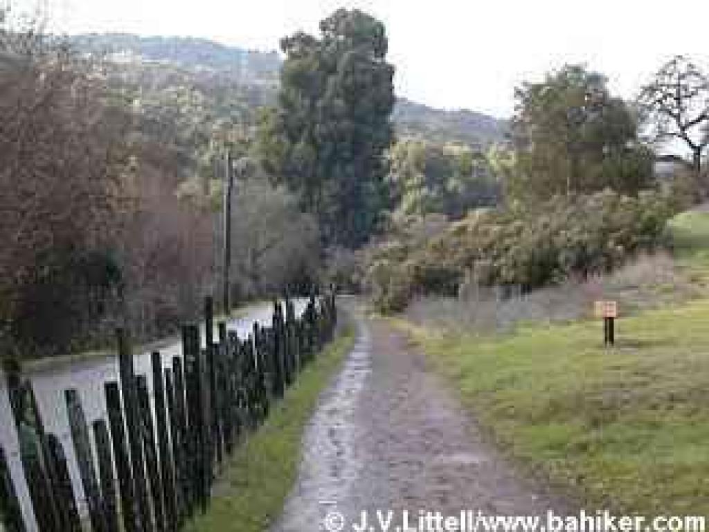 of wilderness, Rancho San Antonio boasts extensive trails, varied terrain, and easy access to South Bay and Peninsula residents.
Most visitors go no further into the preserve than Deer Hollow Farm, an easy flat 2 mile round trip hike. Since cyclists are not permitted on trails west of Deer Hollow Farm, strollers outnumber bicycles on the paths leading to the farm. Horses, though allowed on many trails, are rarely seen. Joggers and runners make the most of Rancho's trails; being passed by a fantastically in-shape runner while slowly trudging uphill is a bit disheartening, but not at all unusual.
Miles of trails allow for lots of loop possibilities. Starting from a valley elevation under 400 feet, PG&E Trail and Upper High Meadow Trail ascend and then cross the northern slopes of Black Mountain. Combine those paths with High Meadow Trail and Coyote Trail for a 9-mile trek that escapes most of Rancho's crowded sections. An easier walk can be found on Rogue Valley Trail, which departs from Deer Hollow Farm on a level course,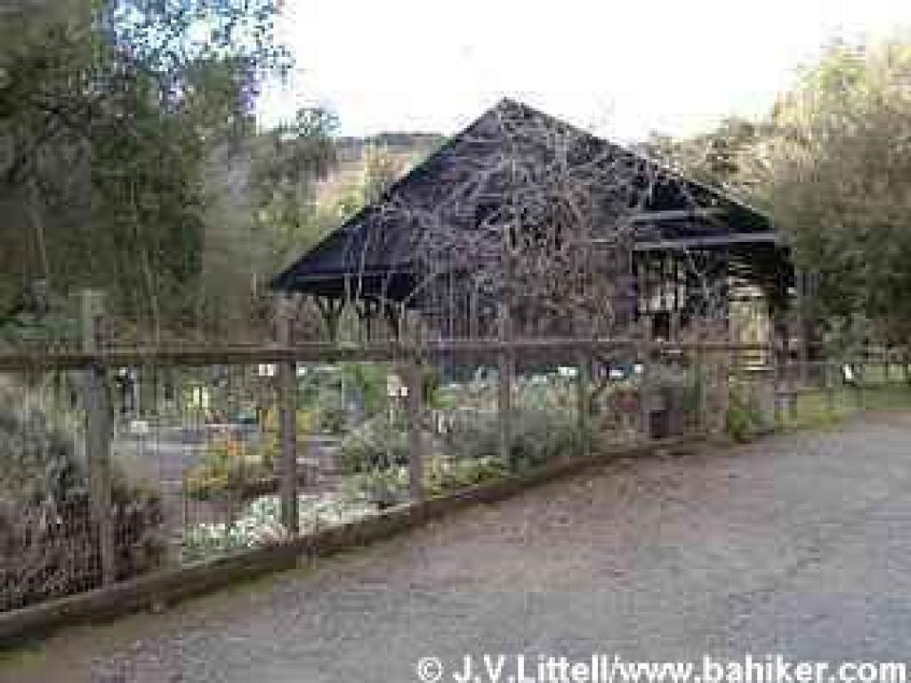 before turning uphill from a creekside grade to meet High Meadow Trail. High Meadow then drops back to Deer Hollow Farm through oaks and grassland. From Rancho's eastern trailhead, a hike to Black Mountain is possible but tough. Expect to log about 16 miles, with elevation gain (and then loss) of about 2400 feet. For an easier assault on Black Mountain's summit, start at the Duveneck Windmill trailhead, where the out-and-back trek to Black Mountain is a mere 10 mile hike.
Different seasons feature a variety of pleasant natural phenomena at the preserve. Spring wildflowers carpet hillsides along Hidden Meadow Trail, while in autumn the same rolling hills are alight with the leaves of deciduous oaks. Back in the deep recesses of Wildcat Canyon maples litter the ground with orange leaves in autumn, and the trailside stream plumps with water in early spring. Toyon and madrone add a festive touch of red berries around Christmas. Buckeye trees bloom just as the majority of wildflowers fade, perfuming the air with lovely white flowers. Then it's chamise's turn to bloom, in late May and early June, followed by toyon. During summer heatwaves, you can seek refuge from the heat and the crowds in the cool canyons serviced by Rogue Valley and Wildcat Canyon Trails.
For the featured hike,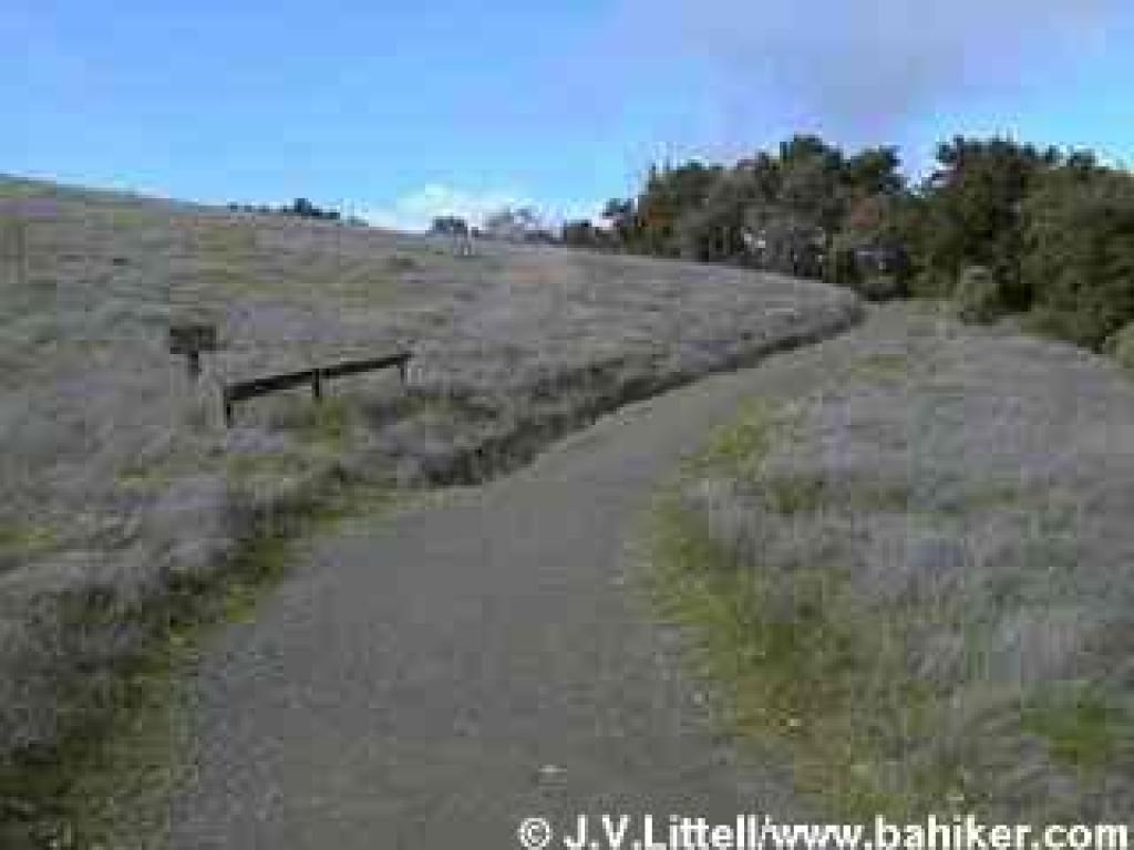 start at the county park parking lot near the restrooms. Walk down the paved trail at the northwestern corner. You'll cross a bridge, and after about 125 feet, reach a junction. Turn right onto the dirt path, marked by a sign "to Deer Hollow Farm."
The wide path, which is closed to cyclists and equestrians, passes by a large grassy meadow, a picnic area, and skirts a huge California bay tree. Once past some tennis courts, the path ends near the border of the county park and open space preserve, at 0.24 mile. Veer left and look for the MROSD signboard. If you're pushing a stroller or in a wheelchair, stick to the paved road all the way to Deer Hollow Farm, but if you're hiking, choose the adjacent dirt path, Lower Meadow Trail.
Some tall oaks and buckeyes punctuate the grassland. Where the level trail meets the paved road, at 0.48 mile, cross the road and pick up the trail again on the other side, as the trail skirts a permit-only parking area. After crossing a bridge, the narrow path, separated from the road by an old-fashioned fence, retains an easy grade while cutting through grassland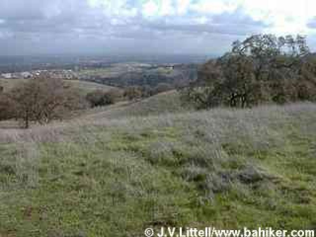 and some coyote brush. Some eucalyptus, willow, and oaks provide occasional shade. At 0.73 mile, Lower Meadow Trail reaches a signed junction. From here you can continue on the dirt trail, or walk along the paved road (alternately, you can avoid the farm area by taking Farm Bypass Trail, across the road). Stay to the right on Lower Meadow Trail, as it takes a slight rollercoaster course through oak and locust trees. The path ends at the paved road at 0.85 mile. Turn right.
The wide paved road follows along the creek. Look for snowberries in autumn. Old farm implements and buildings announce your arrival at Deer Hollow Farm. In autumn, look to the left for pomegranate and persimmon trees. You may see some of the farm residents, including goats, cows, and pigs. In spring, it's exciting to catch a glimpse of baby goats, pigs, or sheep. After passing the charming garden and educational barn, you'll reach a signed junction and information signboard at 1.00 mile. Rogue Valley Trail begins to the right. Stay to the left(toward Wildcat Canyon Trail), as the trail continues to run along the creek. Just past the pit toilets at 1.03 miles, you'll reach a junction with the other end of Farm Bypass Trail. Continue straight. In late spring, you might see baby quail tottering across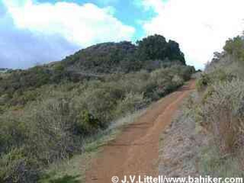 the trail, watched over by proud mom and pop. At 1.14 miles, you'll reach another signed junction. Turn right onto High Meadow Trail.
After your flat warmup, you'll finally begin to climb on High Meadow Trail. Along the sides of the trail, look for monkeyflower, sagebrush, silktassel, coyote brush, pitcher sage, buckeye, coast live oak, and blue oak. Switchbacks keep the grade easy on this trail open to equestrians and hikers only. Views to the south are revealed almost immediately. High Meadow Trail sweeps uphill through some oaks and grassland, with a bench under some coast live oaks creating a nice rest spot. In late spring you might see lots of white mariposa lily, as well as Ithuriel's spear, mule ear sunflower, and brodaiea. Wood fences keep the trail intact as it ascends; ignore any shortcuts. Suddenly you'll climb along the flanks of a grassy knoll, a dramatic counterpart to the aptly named Black Mountain, looming to the west. Cercocarpus (mountain mahogany), and toyon mingle with the trailside oaks. Too soon, the trail crests and reaches a signed junction at 1.89 miles. Turn left and walk to the crest on an unmarked short path. The view from the belvedere showcases the rolling foothills of Rancho, and the lovely oak grassland you've just climbed through. This is a sure spot for spring wildflower hunting, or a lunch break on a cool day.Retrace your steps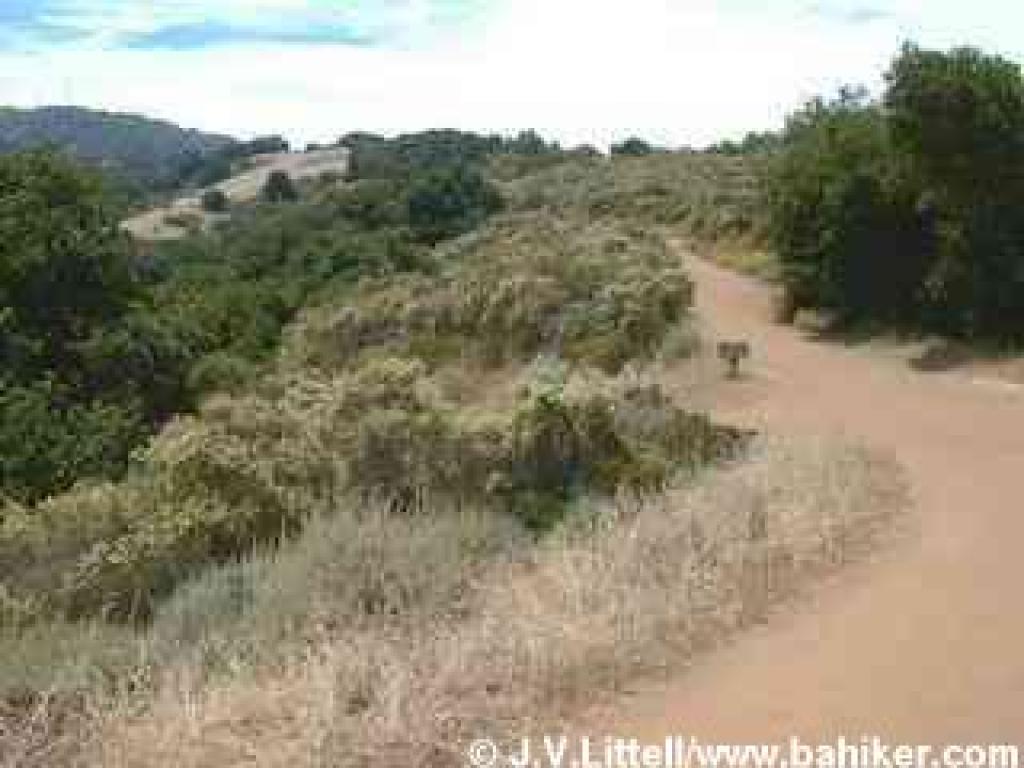 back to the previous junction, at 1.98 miles. This junction can be confusing. You want to continue uphill, past Wildcat Loop Trail, and then almost immediately bear right onto a path marked with a small "trail" marker(the other trail climbs more steeply uphill and is an option).
The trail switchbacks easily through plants often found on the east slope of a bay area hillside; toyon, oak, monkeyflower, and patches of poison oak. At 2.16 miles, the trail meets the steeper fire road again at the ridgeline. Cross the fire road and stay to the left (again, the other trail is an option). The vegetation takes a dramatic turn on the western slope of the hillside. Drier chaparral plants such as chamise, toyon, monkeyflower, and sagebrush are common. You can really get a sense of how chamise dominates the landscape in late spring, when masses of tiny white chamise flowers brighten up the hillsides. At 2.23 miles, the two trails join together at a signed junction. Rogue Valley Trail sets out downhill to the right. Stay to the left on High Meadow Trail.
The trail keeps a steady, nearly flat pace, as it cuts through the chaparral. There are nice views north and west. At 2.56 miles, you'll reach a signed junction with Upper High Meadow Trail, an option if you'd like to extend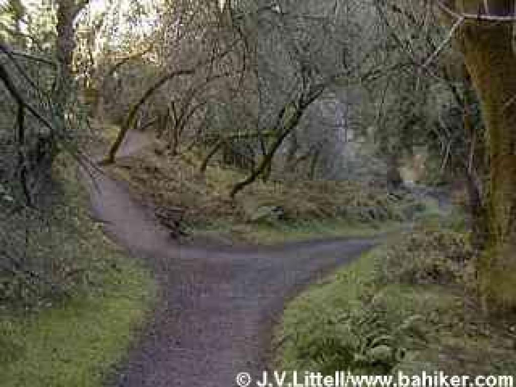 your hike almost 2 miles. Turn left onto Upper Wildcat Canyon Trail. A slight descent begins on this hiking and equestrian trail. Look for toyon, silktassel, coast live oak, chamise, sagebrush, pitcher sage, cercocarpus, California coffeeberry, poison oak, and madrone. If you can tear yourself away from the views and the plants, look down at the trail. I've seen bobcat and coyote tracks, and one time spotted a sizable furry scat that was issued forth from a large mammal, perhaps even a mountain lion (although since I saw no cougar tracks, it was probably a large coyote or bobcat). As you lose elevation, the vegetation begins a subtle shift. Buckeyes, madrones, and California bays herald your arrival to the cool, damp canyon floor. This is a quiet place, where the melodic gurgle of the creek may only be matched by the sounds of small airplanes occasionally passing by overhead, and the pounding of joggers' footfalls. California bay and maple tree trunks are adorned with velvet green moss coats, and it seems as it the sun never reaches the canyon floor. Bridges cross the creek several times, as the trail
 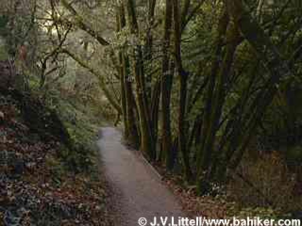 gently descends. At 3.85 miles, Upper Wildcat Creek Trail meets Wildcat Loop Trail at a signed junction. Buckeyes, maples, oaks, and California bay mingle gracefully, with ferns, creambush, and berry bushes tangled in the understory. Stay to the right.
The trail narrows as it winds along the creek, remaining for the most part, under shade of California bays. At 3.97 miles, you'll reach a junction with the PG&E Trail. This trail is an option for returning to the trailhead, although you'll face more elevation gain and loss than returning the way you came. Stay to the left on Wildcat Canyon Trail, which is signed as a hiking only path. This segment continues the enchanting journey through this spectacular riparian corridor. In autumn, fallen buckeye seed pods resemble shiny brown rocks in the creekbed, and orange maple leaves carpet the ground. As you start to hike out of the canyon, the tall trees thin, allowing sunlight to nourish the moisture-loving shrubs crowding the trail and the creekbed. Look for ninebark, a shrub easily confused with blackberry. The clustered flowers are distinctive. At 4.35 miles, Wildcat Canyon Trail ends at a previously encountered junction with High Meadow Trail, near Deer Hollow Farm. Retrace your steps back to the trailhead.
Total distance: 5.51 miles
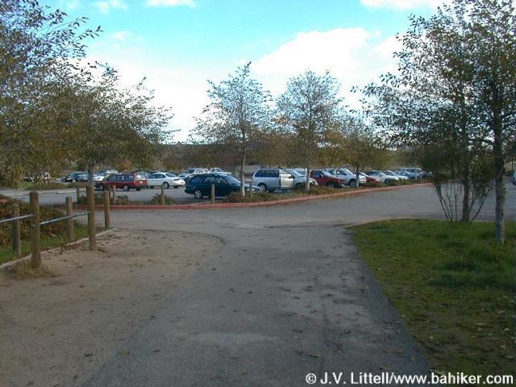 Antonio. On my first visit, when I was a new hiker, I was appalled by the crowds. I was horrified to witness a man picking California poppies with his young daughter (picking flowers at any park in the bay area is a no-no, and California poppies are the state flower). I've since heard a story wherein a Rancho regular tried to explain to a foreign visitor that the sticks clutched in her baby's little hands were in fact, poison oak. Rancho San Antonio may be as close as many South Bay residents (and out-of-town visitors) get to a Bay Area nature experience. That's somewhat ironic because once past the manicured meadows and fenced in kids' farm, a Bay Area hiker may find substantial wildlife and rugged trails. Even though Rancho's trails are heavily used by joggers and runners, quite a few visitors report wildlife sightings, including turkeys, coyotes, quails, bobcats, and the rare mountain lion. Deer are so common it's an unusual occurrence to not see some. On recent hikes, I've delved into the heart of Rancho, and found much to my liking. Although it's not a bastion
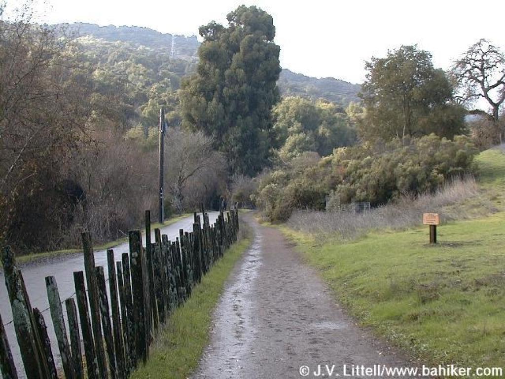 of wilderness, Rancho San Antonio boasts extensive trails, varied terrain, and easy access to South Bay and Peninsula residents.
Most visitors go no further into the preserve than Deer Hollow Farm, an easy flat 2 mile round trip hike. Since cyclists are not permitted on trails west of Deer Hollow Farm, strollers outnumber bicycles on the paths leading to the farm. Horses, though allowed on many trails, are rarely seen. Joggers and runners make the most of Rancho's trails; being passed by a fantastically in-shape runner while slowly trudging uphill is a bit disheartening, but not at all unusual.
Miles of trails allow for lots of loop possibilities. Starting from a valley elevation under 400 feet, PG&E Trail and Upper High Meadow Trail ascend and then cross the northern slopes of Black Mountain. Combine those paths with High Meadow Trail and Coyote Trail for a 9-mile trek that escapes most of Rancho's crowded sections. An easier walk can be found on Rogue Valley Trail, which departs from Deer Hollow Farm on a level course,
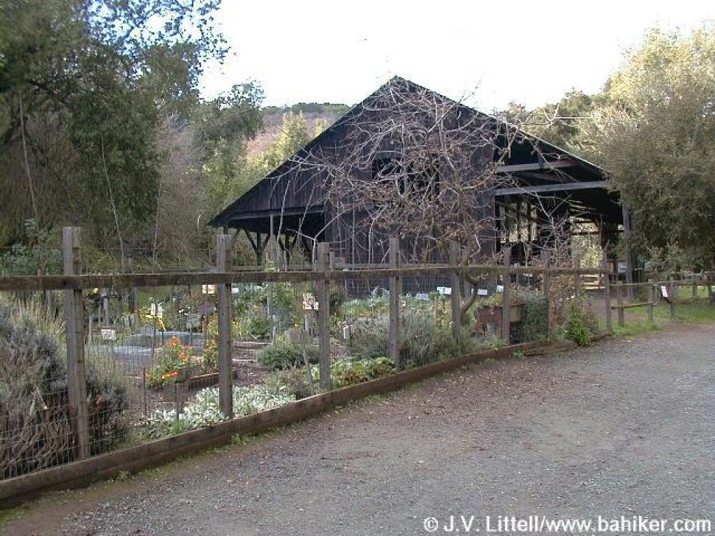 before turning uphill from a creekside grade to meet High Meadow Trail. High Meadow then drops back to Deer Hollow Farm through oaks and grassland. From Rancho's eastern trailhead, a hike to Black Mountain is possible but tough. Expect to log about 16 miles, with elevation gain (and then loss) of about 2400 feet. For an easier assault on Black Mountain's summit, start at the Duveneck Windmill trailhead, where the out-and-back trek to Black Mountain is a mere 10 mile hike.
Different seasons feature a variety of pleasant natural phenomena at the preserve. Spring wildflowers carpet hillsides along Hidden Meadow Trail, while in autumn the same rolling hills are alight with the leaves of deciduous oaks. Back in the deep recesses of Wildcat Canyon maples litter the ground with orange leaves in autumn, and the trailside stream plumps with water in early spring. Toyon and madrone add a festive touch of red berries around Christmas. Buckeye trees bloom just as the majority of wildflowers fade, perfuming the air with lovely white flowers. Then it's chamise's turn to bloom, in late May and early June, followed by toyon. During summer heatwaves, you can seek refuge from the heat and the crowds in the cool canyons serviced by Rogue Valley and Wildcat Canyon Trails.
For the featured hike,
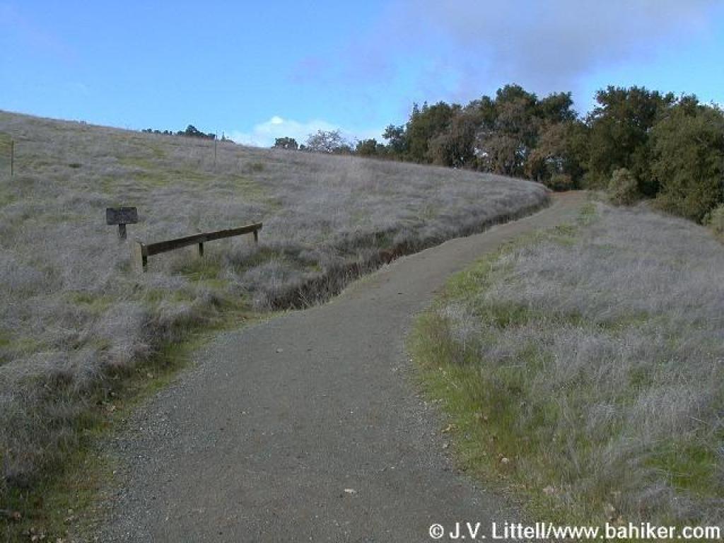 start at the county park parking lot near the restrooms. Walk down the paved trail at the northwestern corner. You'll cross a bridge, and after about 125 feet, reach a junction. Turn right onto the dirt path, marked by a sign "to Deer Hollow Farm."
The wide path, which is closed to cyclists and equestrians, passes by a large grassy meadow, a picnic area, and skirts a huge California bay tree. Once past some tennis courts, the path ends near the border of the county park and open space preserve, at 0.24 mile. Veer left and look for the MROSD signboard. If you're pushing a stroller or in a wheelchair, stick to the paved road all the way to Deer Hollow Farm, but if you're hiking, choose the adjacent dirt path, Lower Meadow Trail.
Some tall oaks and buckeyes punctuate the grassland. Where the level trail meets the paved road, at 0.48 mile, cross the road and pick up the trail again on the other side, as the trail skirts a permit-only parking area. After crossing a bridge, the narrow path, separated from the road by an old-fashioned fence, retains an easy grade while cutting through grassland
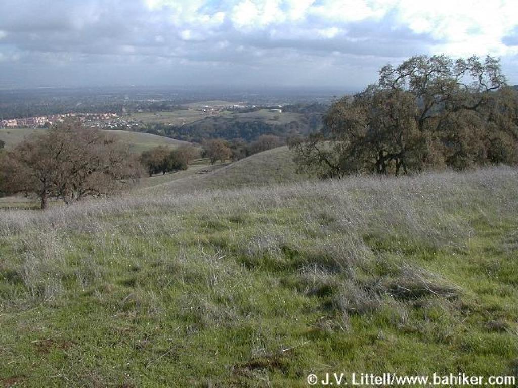 and some coyote brush. Some eucalyptus, willow, and oaks provide occasional shade. At 0.73 mile, Lower Meadow Trail reaches a signed junction. From here you can continue on the dirt trail, or walk along the paved road (alternately, you can avoid the farm area by taking Farm Bypass Trail, across the road). Stay to the right on Lower Meadow Trail, as it takes a slight rollercoaster course through oak and locust trees. The path ends at the paved road at 0.85 mile. Turn right.
The wide paved road follows along the creek. Look for snowberries in autumn. Old farm implements and buildings announce your arrival at Deer Hollow Farm. In autumn, look to the left for pomegranate and persimmon trees. You may see some of the farm residents, including goats, cows, and pigs. In spring, it's exciting to catch a glimpse of baby goats, pigs, or sheep. After passing the charming garden and educational barn, you'll reach a signed junction and information signboard at 1.00 mile. Rogue Valley Trail begins to the right. Stay to the left(toward Wildcat Canyon Trail), as the trail continues to run along the creek. Just past the pit toilets at 1.03 miles, you'll reach a junction with the other end of Farm Bypass Trail. Continue straight. In late spring, you might see baby quail tottering across
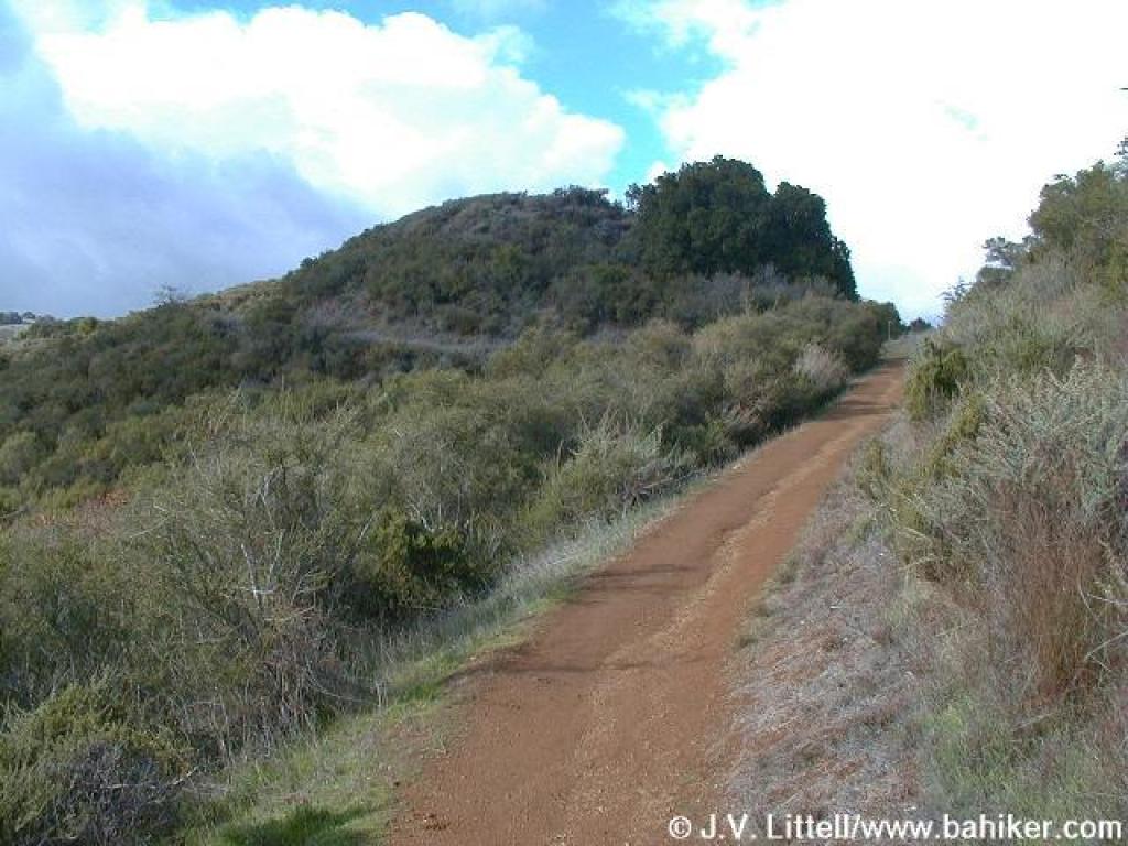 the trail, watched over by proud mom and pop. At 1.14 miles, you'll reach another signed junction. Turn right onto High Meadow Trail.
After your flat warmup, you'll finally begin to climb on High Meadow Trail. Along the sides of the trail, look for monkeyflower, sagebrush, silktassel, coyote brush, pitcher sage, buckeye, coast live oak, and blue oak. Switchbacks keep the grade easy on this trail open to equestrians and hikers only. Views to the south are revealed almost immediately. High Meadow Trail sweeps uphill through some oaks and grassland, with a bench under some coast live oaks creating a nice rest spot. In late spring you might see lots of white mariposa lily, as well as Ithuriel's spear, mule ear sunflower, and brodaiea. Wood fences keep the trail intact as it ascends; ignore any shortcuts. Suddenly you'll climb along the flanks of a grassy knoll, a dramatic counterpart to the aptly named Black Mountain, looming to the west. Cercocarpus (mountain mahogany), and toyon mingle with the trailside oaks. Too soon, the trail crests and reaches a signed junction at 1.89 miles. Turn left and walk to the crest on an unmarked short path. The view from the belvedere showcases the rolling foothills of Rancho, and the lovely oak grassland you've just climbed through. This is a sure spot for spring wildflower hunting, or a lunch break on a cool day.Retrace your steps
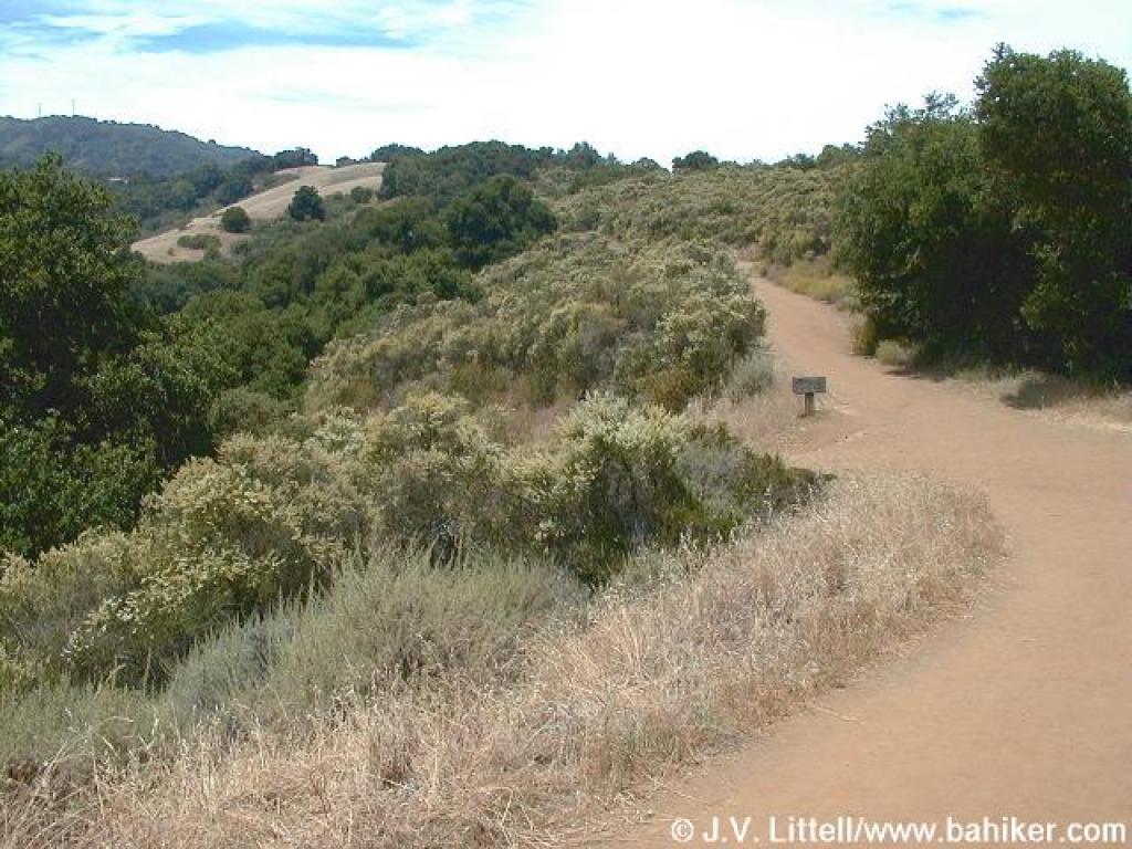 back to the previous junction, at 1.98 miles. This junction can be confusing. You want to continue uphill, past Wildcat Loop Trail, and then almost immediately bear right onto a path marked with a small "trail" marker(the other trail climbs more steeply uphill and is an option).
The trail switchbacks easily through plants often found on the east slope of a bay area hillside; toyon, oak, monkeyflower, and patches of poison oak. At 2.16 miles, the trail meets the steeper fire road again at the ridgeline. Cross the fire road and stay to the left (again, the other trail is an option). The vegetation takes a dramatic turn on the western slope of the hillside. Drier chaparral plants such as chamise, toyon, monkeyflower, and sagebrush are common. You can really get a sense of how chamise dominates the landscape in late spring, when masses of tiny white chamise flowers brighten up the hillsides. At 2.23 miles, the two trails join together at a signed junction. Rogue Valley Trail sets out downhill to the right. Stay to the left on High Meadow Trail.
The trail keeps a steady, nearly flat pace, as it cuts through the chaparral. There are nice views north and west. At 2.56 miles, you'll reach a signed junction with Upper High Meadow Trail, an option if you'd like to extend
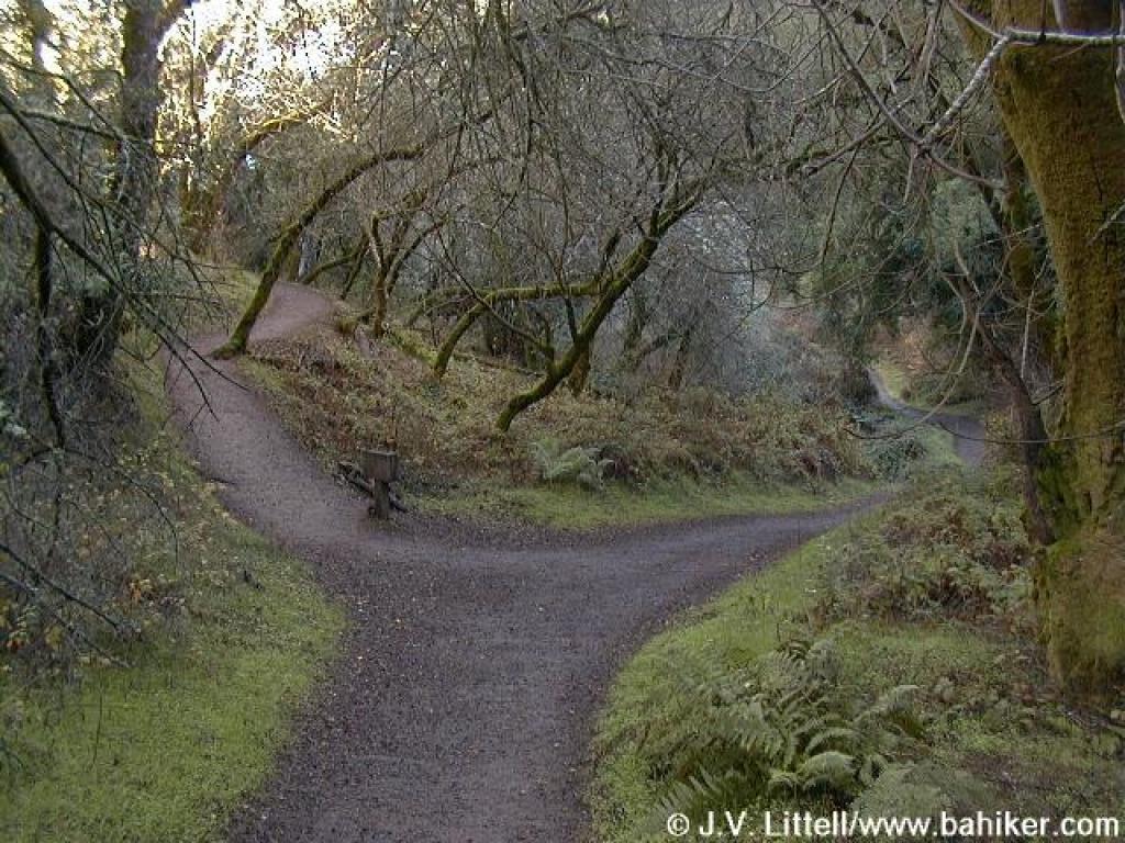 your hike almost 2 miles. Turn left onto Upper Wildcat Canyon Trail. A slight descent begins on this hiking and equestrian trail. Look for toyon, silktassel, coast live oak, chamise, sagebrush, pitcher sage, cercocarpus, California coffeeberry, poison oak, and madrone. If you can tear yourself away from the views and the plants, look down at the trail. I've seen bobcat and coyote tracks, and one time spotted a sizable furry scat that was issued forth from a large mammal, perhaps even a mountain lion (although since I saw no cougar tracks, it was probably a large coyote or bobcat). As you lose elevation, the vegetation begins a subtle shift. Buckeyes, madrones, and California bays herald your arrival to the cool, damp canyon floor. This is a quiet place, where the melodic gurgle of the creek may only be matched by the sounds of small airplanes occasionally passing by overhead, and the pounding of joggers' footfalls. California bay and maple tree trunks are adorned with velvet green moss coats, and it seems as it the sun never reaches the canyon floor. Bridges cross the creek several times, as the trail
 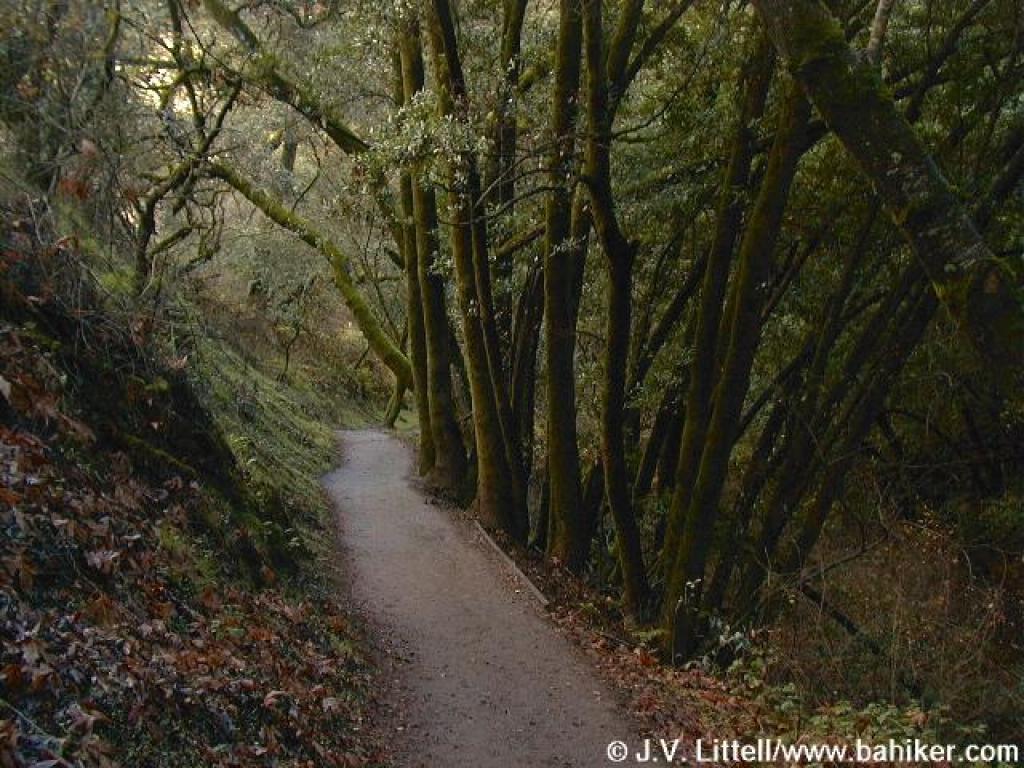 gently descends. At 3.85 miles, Upper Wildcat Creek Trail meets Wildcat Loop Trail at a signed junction. Buckeyes, maples, oaks, and California bay mingle gracefully, with ferns, creambush, and berry bushes tangled in the understory. Stay to the right.
The trail narrows as it winds along the creek, remaining for the most part, under shade of California bays. At 3.97 miles, you'll reach a junction with the PG&E Trail. This trail is an option for returning to the trailhead, although you'll face more elevation gain and loss than returning the way you came. Stay to the left on Wildcat Canyon Trail, which is signed as a hiking only path. This segment continues the enchanting journey through this spectacular riparian corridor. In autumn, fallen buckeye seed pods resemble shiny brown rocks in the creekbed, and orange maple leaves carpet the ground. As you start to hike out of the canyon, the tall trees thin, allowing sunlight to nourish the moisture-loving shrubs crowding the trail and the creekbed. Look for ninebark, a shrub easily confused with blackberry. The clustered flowers are distinctive. At 4.35 miles, Wildcat Canyon Trail ends at a previously encountered junction with High Meadow Trail, near Deer Hollow Farm. Retrace your steps back to the trailhead.
Total distance: 5.51 miles
April 2nd Team Run!
Getting there:
From Interstate 280 in Santa Clara County, exit #7 Saratoga Avenue. Drive west on Saratoga Avenue, then in Saratoga, pick up CA 9 (Big Basin Way) heading west. At the junction with CA 35 at Saratoga Gap, turn left (south). Drive about 4.5 miles south on Skyline Boulevard (CA 35) to the unsigned Sunnyvale Mountain trailhead on the left side of the road (an emergency callbox stands at the driveway to the parking lot).
From Interstate 280 in Santa Clara County, exit #7 Saratoga Avenue. Drive west on Saratoga Avenue, then in Saratoga, pick up CA 9 (Big Basin Way) heading west. At the junction with CA 35 at Saratoga Gap, turn left (south). Drive about 4.5 miles south on Skyline Boulevard (CA 35) to the unsigned Sunnyvale Mountain trailhead on the left side of the road (an emergency callbox stands at the driveway to the parking lot).
Sanborn-Skyline County Park is perhaps best known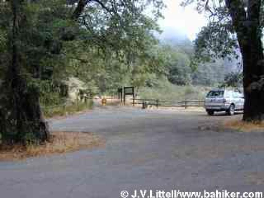 as the home to the Welch Hurst House American Youth Hostel. The historic building, constructed in 1908, features handsome redwood and madrone interior woodwork, and provides inexpensive lodgings for travelers. Welch Hurst House is situated near the park headquarters just a few miles from Saratoga, and is one of the many facilities Sanborn-Skyline offers in the park's "lowlands." You'll find restrooms, walk-in and family campgrounds, as well as group and individual picnic areas. Just a mile uphill as the crow flies, several rustic trailheads along Skyline Boulevard (and one on Black Road) offer nothing more than parking. Sanborn-Skyline presents a city mouse/country mouse conundrum, so consider which mouse you are before you visit. Families will probably be happiest near park headquarters, where they can picnic
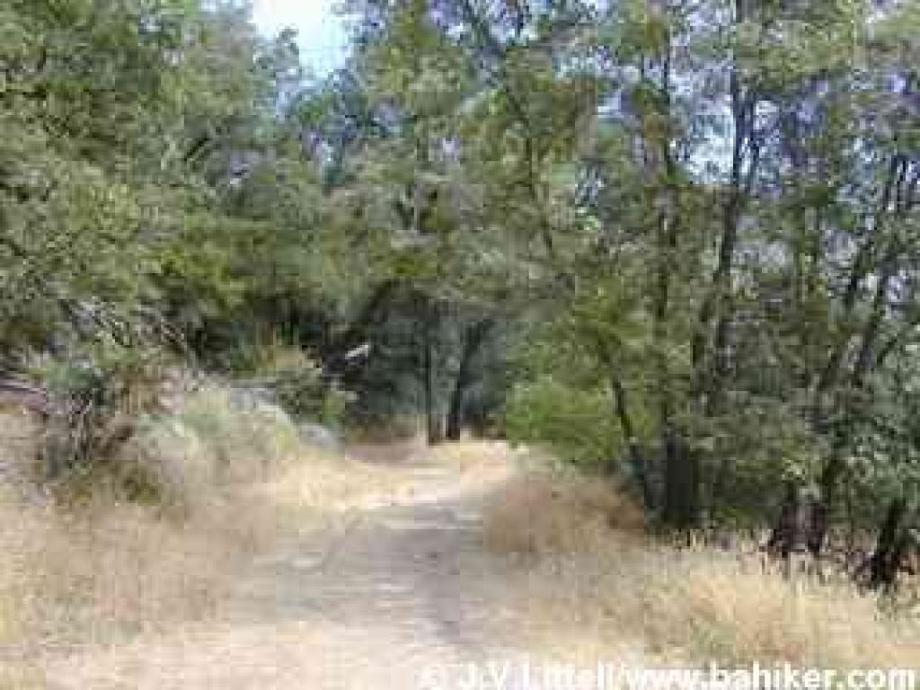 and stroll on an all-access trail. Hikers seeking solitude should try the Sunnyvale Mountain trailhead, one of the loneliest staging areas on Skyline Boulevard. The Bay Area Ridge Trail's path through the Santa Cruz Mountains terminates (or begins, depending on your perspective) at Sunnyvale Mountain, and the trailhead has an end-of-the-line feeling.
Unlike the other open space preserve and park staging areas nearby, from the Sunnyvale Mountain Trailhead there are no multiple choices for loop hikes, and the only option is an out-and-back trek, although you can add on one of two loops. If you'd like to check out the area near park headquarters, hike downhill on Sanborn Trail. You'll pass through Todd Creek Redwoods and then reach the main park area via Peterson Trail. Then you'll regain about 1600 feet of elevation as you hike back uphill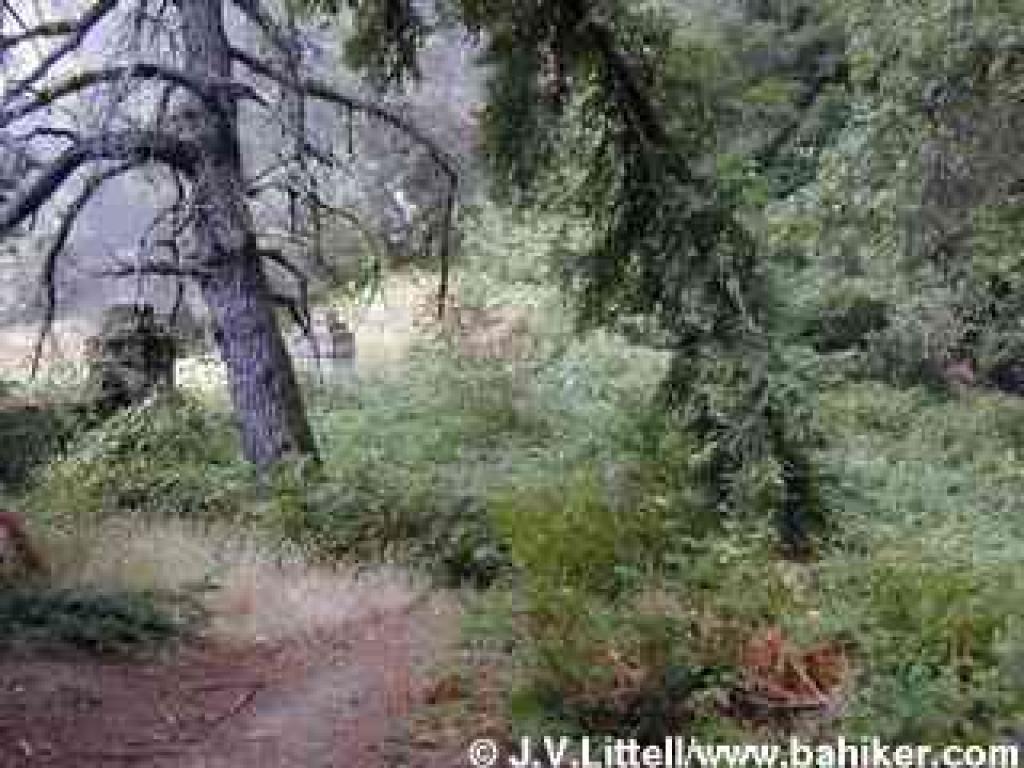 on San Andreas and Sanborn Trails. For an easier semi-loop, hike on Skyline Trail to Indian Rock, then continue northwest onto the Summit Rock Loop, from which Summit Rock offers views east from an elevation of about 3076 feet. This hike is about 9 miles in length, but the elevation changes are relatively gentle. A visit to adjacent Castle Rock State Park is also possible, but more logically undertaken from the trailhead near Indian Rock, which is almost directly across Skyline Boulevard from the main entrance to Castle Rock.
With an extensive black oak and big leaf maple tree population, Skyline Trail is a knockout in autumn. Huge old Douglas fir, as well as tanoak, California bay, and madrone shade the trail in summer, mitigating the heat but unfortunately sheltering great swarms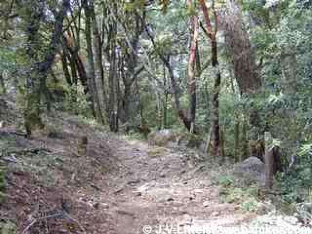 of flies. Late winter and spring are perhaps better spent in the nearby chaparral or grassland of Castle Rock, Long Ridge, or Upper Stevens Creek.
For the featured hike, start at the Sunnyvale Mountain Trailhead. Begin walking north on the gated and signed Skyline Trail, open to hikers and equestrians only. A meadow overgrown with broom, coyote brush, and blue elderberry drifts downhill to the right. You might see quail sitting in the taller shrubs. Along the trail, which is initially a wide old ranch road, black oaks dominate, with poison oak in the understory. Although Skyline Trail parallels Skyline Boulevard, the road is not visible. After a few feet, an appealing-looking path heads to the right, but it's not a viable trail, so stay to the left. The nearly flat trail reaches a split at a signed junction at 0.18 mile. Bear right and remain on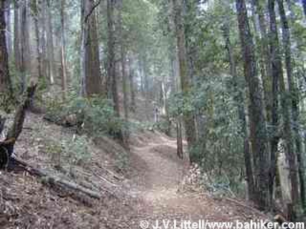 Skyline Trail.
The trail narrows and steps into a woodland of towering Douglas fir, tanoak, and madrone. There's a sharp dropoff downhill to the right, but the trail proceeds at a mostly level pace, angling across the hillside. You might notice a huge sandstone boulder on the left, one of many such formations that can be explored in this park as well as in neighboring Castle Rock. At 0.48 mile the trail reaches a picnic table near Skyline Boulevard. Check out the old stone fence and gateposts, remnants of past landholders. Skyline Trail curves away from the road and heads back into the woods. The narrow path skirts another rock formation and passes some downed branches from elderly tanoak and Douglas fir trees. After a brief sojourn through an open and overgrown area where you might notice a few spring and summer flowers making a statement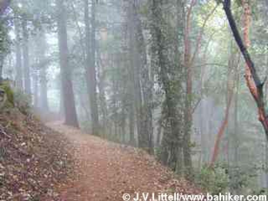 among the coyote brush, Skyline Trail descends gently to a signed junction at 1.22 miles. Sanborn Trail heads downhill to the right. Turn left to remain on Skyline Trail.
Madrone, tanoak, and Douglas fir, along with California bay and big leaf maple, create a thick canopy that permits little understory growth, but in some places you might notice small shrubs of hazelnut, creambush, and wood rose. Hound's tongue and western heart's ease are common in spring. In summer, a few tiny orchids bloom inconspicuously among the confetti of fallen madrone leaves. Skyline Trail draws near the road again, and a rickety set of log-reenforced steps heading uphill to the left reaches a roadside pullout. Continue to the right. The path climbs slightly along a rocky stretch and then levels out again. Some mighty Douglas fir and madrone might cause you to pause in wonder; these geriatric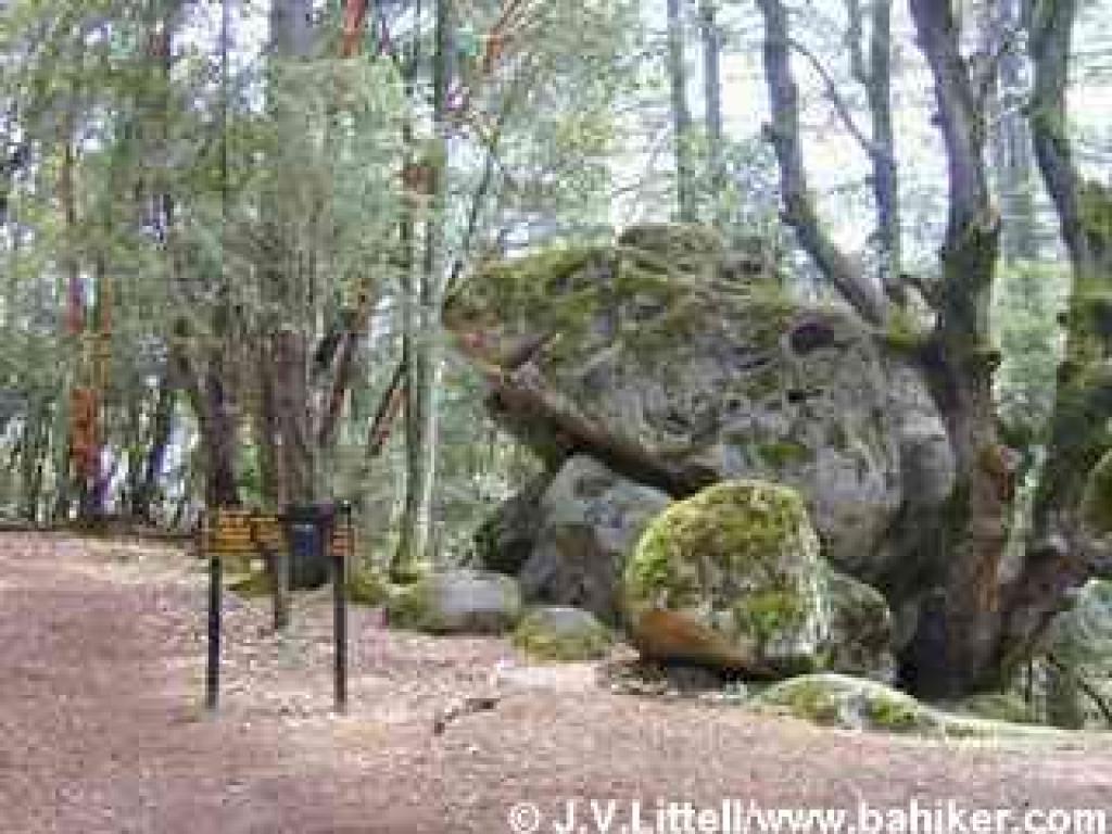 giants live a somewhat sheltered existence, shielded from winter winds by the hillside to the left. The trail bends right near an old metal "no bikes" sign. Adopting a slightly wider girth, Skyline Trail winds through a magnificent and quiet forest which is especially lovely when fog blows across the ridge from the west and billows downhill into the woods. Although you are never far from Skyline Boulevard, traffic noise is only occasional (especially on weekdays). Skyline Trail narrows again, and more rock formations appear, looming out of the woods on both sides of the trail. At 3.02 miles, the trail reaches a trail sign, huge boulder, and roadside parking (I call this the Indian Rock Trailhead). Walk a few feet more uphill to the right, to Indian Rock(s), where black oaks, madrones, and coast live oaks provide shade and a perfect spot for a lunch break among the rock formations. When ready, retrace your steps back to the trailhead.
Total distance: 6.04 miles
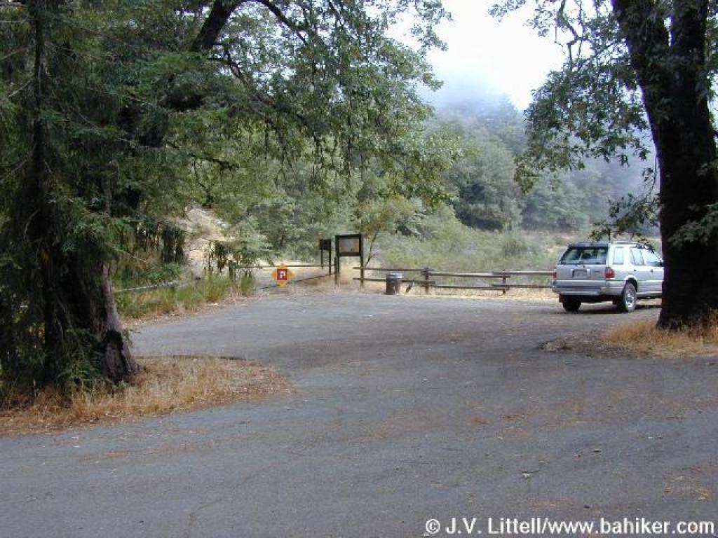 as the home to the Welch Hurst House American Youth Hostel. The historic building, constructed in 1908, features handsome redwood and madrone interior woodwork, and provides inexpensive lodgings for travelers. Welch Hurst House is situated near the park headquarters just a few miles from Saratoga, and is one of the many facilities Sanborn-Skyline offers in the park's "lowlands." You'll find restrooms, walk-in and family campgrounds, as well as group and individual picnic areas. Just a mile uphill as the crow flies, several rustic trailheads along Skyline Boulevard (and one on Black Road) offer nothing more than parking. Sanborn-Skyline presents a city mouse/country mouse conundrum, so consider which mouse you are before you visit. Families will probably be happiest near park headquarters, where they can picnic
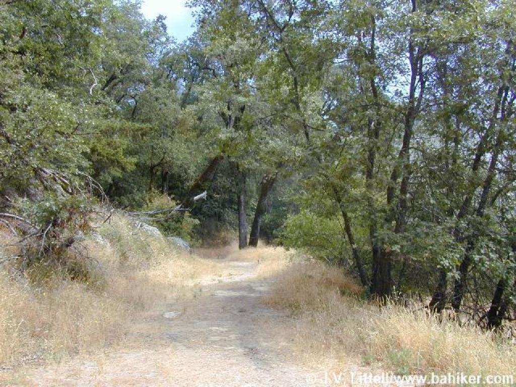 and stroll on an all-access trail. Hikers seeking solitude should try the Sunnyvale Mountain trailhead, one of the loneliest staging areas on Skyline Boulevard. The Bay Area Ridge Trail's path through the Santa Cruz Mountains terminates (or begins, depending on your perspective) at Sunnyvale Mountain, and the trailhead has an end-of-the-line feeling.
Unlike the other open space preserve and park staging areas nearby, from the Sunnyvale Mountain Trailhead there are no multiple choices for loop hikes, and the only option is an out-and-back trek, although you can add on one of two loops. If you'd like to check out the area near park headquarters, hike downhill on Sanborn Trail. You'll pass through Todd Creek Redwoods and then reach the main park area via Peterson Trail. Then you'll regain about 1600 feet of elevation as you hike back uphill
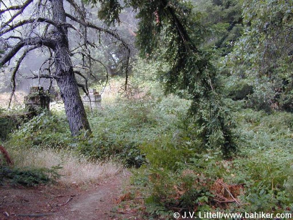 on San Andreas and Sanborn Trails. For an easier semi-loop, hike on Skyline Trail to Indian Rock, then continue northwest onto the Summit Rock Loop, from which Summit Rock offers views east from an elevation of about 3076 feet. This hike is about 9 miles in length, but the elevation changes are relatively gentle. A visit to adjacent Castle Rock State Park is also possible, but more logically undertaken from the trailhead near Indian Rock, which is almost directly across Skyline Boulevard from the main entrance to Castle Rock.
 With an extensive black oak and big leaf maple tree population, Skyline Trail is a knockout in autumn. Huge old Douglas fir, as well as tanoak, California bay, and madrone shade the trail in summer, mitigating the heat but unfortunately sheltering great swarms
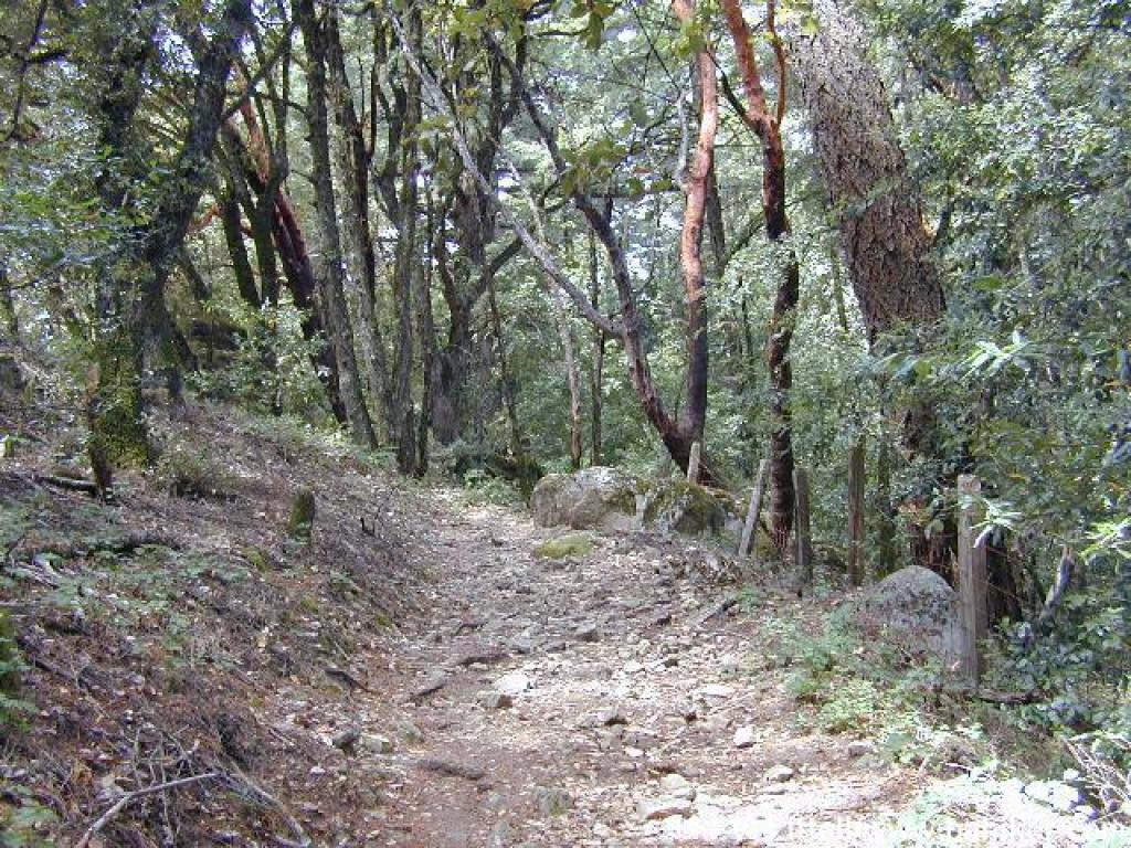 of flies. Late winter and spring are perhaps better spent in the nearby chaparral or grassland of Castle Rock, Long Ridge, or Upper Stevens Creek.
For the featured hike, start at the Sunnyvale Mountain Trailhead. Begin walking north on the gated and signed Skyline Trail, open to hikers and equestrians only. A meadow overgrown with broom, coyote brush, and blue elderberry drifts downhill to the right. You might see quail sitting in the taller shrubs. Along the trail, which is initially a wide old ranch road, black oaks dominate, with poison oak in the understory. Although Skyline Trail parallels Skyline Boulevard, the road is not visible. After a few feet, an appealing-looking path heads to the right, but it's not a viable trail, so stay to the left. The nearly flat trail reaches a split at a signed junction at 0.18 mile. Bear right and remain on
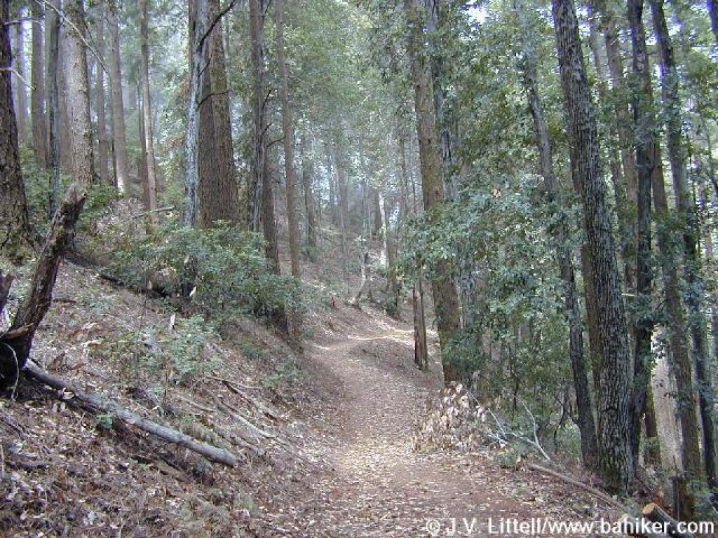 Skyline Trail.
The trail narrows and steps into a woodland of towering Douglas fir, tanoak, and madrone. There's a sharp dropoff downhill to the right, but the trail proceeds at a mostly level pace, angling across the hillside. You might notice a huge sandstone boulder on the left, one of many such formations that can be explored in this park as well as in neighboring Castle Rock. At 0.48 mile the trail reaches a picnic table near Skyline Boulevard. Check out the old stone fence and gateposts, remnants of past landholders. Skyline Trail curves away from the road and heads back into the woods. The narrow path skirts another rock formation and passes some downed branches from elderly tanoak and Douglas fir trees. After a brief sojourn through an open and overgrown area where you might notice a few spring and summer flowers making a statement
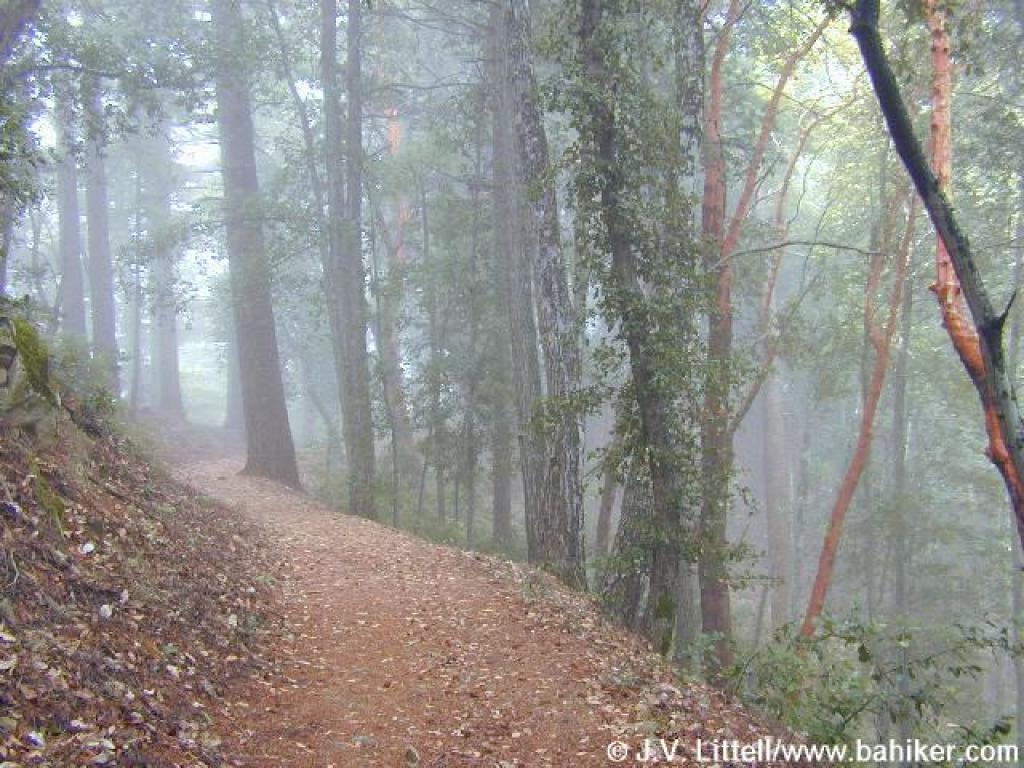 among the coyote brush, Skyline Trail descends gently to a signed junction at 1.22 miles. Sanborn Trail heads downhill to the right. Turn left to remain on Skyline Trail.
Madrone, tanoak, and Douglas fir, along with California bay and big leaf maple, create a thick canopy that permits little understory growth, but in some places you might notice small shrubs of hazelnut, creambush, and wood rose. Hound's tongue and western heart's ease are common in spring. In summer, a few tiny orchids bloom inconspicuously among the confetti of fallen madrone leaves. Skyline Trail draws near the road again, and a rickety set of log-reenforced steps heading uphill to the left reaches a roadside pullout. Continue to the right. The path climbs slightly along a rocky stretch and then levels out again. Some mighty Douglas fir and madrone might cause you to pause in wonder; these geriatric
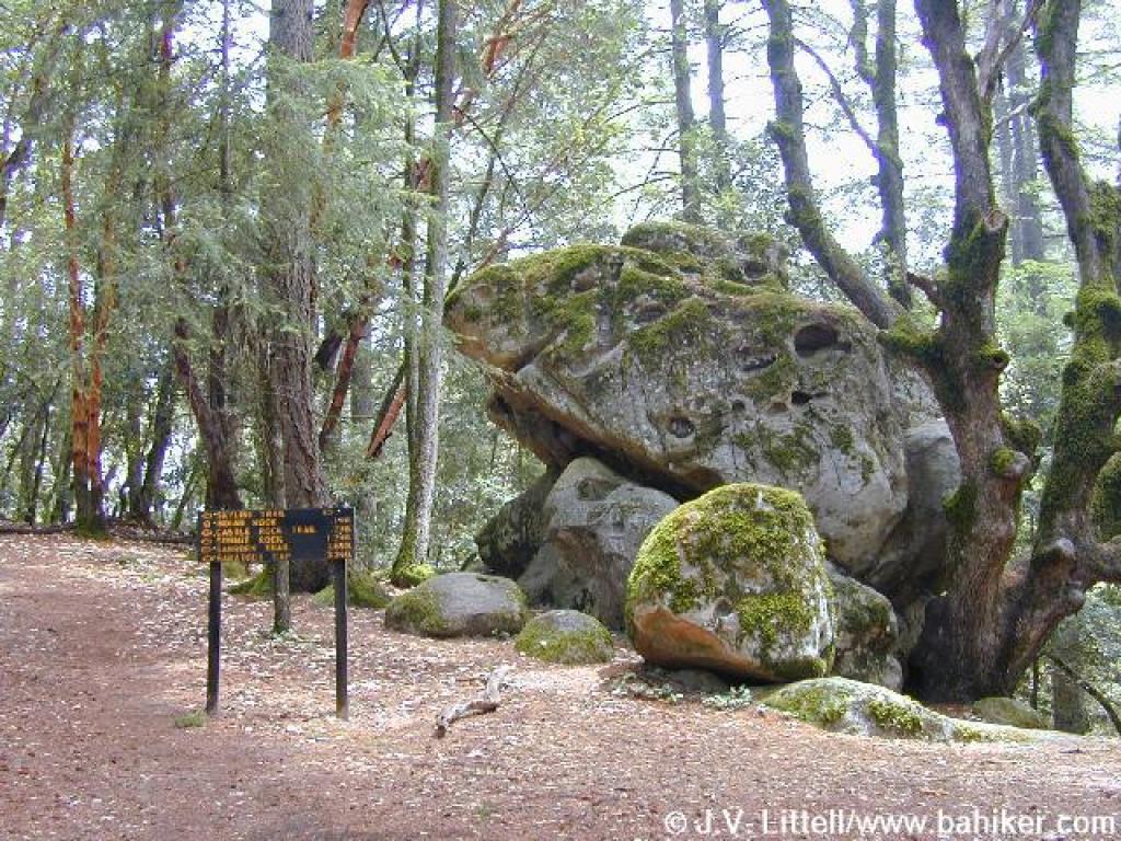 giants live a somewhat sheltered existence, shielded from winter winds by the hillside to the left. The trail bends right near an old metal "no bikes" sign. Adopting a slightly wider girth, Skyline Trail winds through a magnificent and quiet forest which is especially lovely when fog blows across the ridge from the west and billows downhill into the woods. Although you are never far from Skyline Boulevard, traffic noise is only occasional (especially on weekdays). Skyline Trail narrows again, and more rock formations appear, looming out of the woods on both sides of the trail. At 3.02 miles, the trail reaches a trail sign, huge boulder, and roadside parking (I call this the Indian Rock Trailhead). Walk a few feet more uphill to the right, to Indian Rock(s), where black oaks, madrones, and coast live oaks provide shade and a perfect spot for a lunch break among the rock formations. When ready, retrace your steps back to the trailhead.
Total distance: 6.04 miles
April 9th Team Run!
Getting there:
From Interstate 280 in Santa Clara County, take CA 85 south (toward Gilroy). After about 12 miles, exit at Almaden Expressway, stay in either of the ramp's two right lanes, make the first left, then the next right onto Almaden Expressway. Drive about 4 miles, then turn right onto Almaden Road. Drive on Almaden about 3 miles to the Hacienda Trailhead on the right side of the road. (If you reach the Hicks Road intersection you've gone too far.)
From Interstate 280 in Santa Clara County, take CA 85 south (toward Gilroy). After about 12 miles, exit at Almaden Expressway, stay in either of the ramp's two right lanes, make the first left, then the next right onto Almaden Expressway. Drive about 4 miles, then turn right onto Almaden Road. Drive on Almaden about 3 miles to the Hacienda Trailhead on the right side of the road. (If you reach the Hicks Road intersection you've gone too far.)
For this featured hike, start at the Hacienda Trailhead.Walk around the gate and uphill on Mine Hill Trail. This trail, a wide dirt road, was used as a road during years of the mining operations. In fact, you may notice about 0.85 mile up this trail, two old crashed cars down the slope on the east (right) side of the trail (click here to see a photo). A few steps up Mine Hill Trail there's an interpretive display on the left side with some old photos and a history of the mining operations. A few valley oak mingle with California bay and big-leaf maple near a creek on the left. The multi-use trail makes a sharp turn right and climbs at a moderate grade, with coast live oak, blue oak, poison oak, sagebrush, and coyote brush along the sides. In spring, you might see bluedicks, filarees, vetch, buttercups, blue and white lupine, and fiddlenecks. At 0.39 mile, you'll reach a signed junction, with Hacienda Trail departing to the right, and English Camp Trail setting off to the left. Continue straight on Mine Hill Trail.
On a clear day the views to the east (Mount Hamilton) and back behind you to the west (the Sierra Azul) are outstanding, and the stillness of the well-graded climb through California bay, coast live oak, toyon, California coffeeberry, chamise, and buckeye is only broken by the buzz of airplanes and bird cries. A few ravines on the left side of the trail, dry in the summer and fall, become tiny waterfalls when the winter rains begin in earnest. From time to time roadcuts expose sections of dirt and rock, giving mineral hounds a close-up look at this park's geology. In spring, look for manroot, shooting stars, monkeyflower, mule-ear sunflowers, woodland star, milkmaids, and miner's lettuce on the left side of Mine Hill Trail. At 1.13 miles, after climbing about 300 feet, Mine Hill Trail reaches Capehorn Pass. A picnic table at this flat spot makes a good place to consult the map, and drink some water. From this signed junction Hacienda Trail runs north through chaparral, then cuts east and loops back south to meet up with Mine Hill Trail. This is a good option if you're ready to turn back down the hill. You could also continue on Mine Hill Trail, turning onto Castillero Trail, then picking up English Camp Trail, for a shorter loop. Turn right, pass the picnic table, then turn left onto Randol Trail.
To be blunt, this is my least favorite trail at Almaden Quicksilver. There are pretty sections along the trail, but thanks to urban sprawl a lot of noise drifts into the park from nearby housing developments and streets on the northeast side of the mountain. Nonetheless, Randol is part of a convenient loop, and delivers visitors to a very scenic part of Almaden Quicksilver. The wide, nearly level multi-use fire road heads northwest, passing some historical mining sites and drifting through a variety of plant communities. Initially Randol Trail is lined with chamise, sagebrush, coyote brush, and coast live oak. Look for zigadene and saxifrage in early spring here. As the trail sweeps around the broad mouth of a canyon, there are unobstructed views to gigantic piles of rock debris on the right. At 1.60 miles, you'll arrive at the site of Day Tunnel. An interpretive sign explains the origin of the tunnel, which has been sealed. A few steps later you'll arrive at a signed junction with Day Tunnel Trail, on the left. Continue straighton Randol Trail.
Still keeping to an easy grade, Randol Trail creeps along the hillside, arching around another broad canyon and mining site. At 2.10 miles, Randol Trail breaks off to the right, while Santa Isabel continues straight at a signed junction. Either fork is an option; Randol is about twice as long. Continue straight on Santa Isabel Trail.
When I hiked here in March, there were great drifts of baby blue eyes and sprinklings of shooting stars on the left. Multi-use Santa Isabel Trail ascends slightly through the shade of a California bay grove, then immediately drops back into coast live oaks, and grassland marked by a stand of lovely blue oaks. At 2.51 miles, Santa Isabel ends at the other end of Randol Trail. Bear left onto Randol.
You might see johhny-jump-ups and blue and white lupine along the trail in spring. California bay, coast live, and blue oak are common, but Randol Trail also passes through sunnier stretches where coyote brush is dominant. Gradually, the vegetation shifts to chaparral, and black sage, manzanita, and chamise makes appearances. After one last pass through some shade, Randol Trail emerges into grassland. The hillside rolls away on the right, revealing long views east. At 3.63 miles, you'll reach a signed junction with Prospect #3 Trail. Turn left.
The hiking-only path ascends at a sharp pace, through grassland dotted with massive black and blue oaks. Wildflowers bask in the sunshine here, and you might see patches of small flowered linanthus, johnny-jump-ups, popcorn flower, filaree, and fiddleneck, as well as smatterings of blue-eyed grass, blue and white lupine, and bluedicks. The sojourn through oak grassland ends as the trail veers into the woods. The grade is moderate, with some steep sections, as Prospect #3 Trail ascends through poison oak, black oak, toyon, and coast live oak. At 4.16 miles, Prospect #3 Trail steps out into grassland, then ends at a signed junction with Mine Hill Trail. Turn left.
This is a picturesque setting with lots to admire. In spring there are colorful blasts of blooms in the grassland, from plants such as California poppy, popcorn flower, blue and white lupine, johnny-jump-up, and fiddleneck. Graceful oaks beckon from the fringes of the ridge. And views unfold to the west encompassing the Sierra Azul, with Mount Umunhum's artificial knob prominent. Mine Hill Trail gently climbs along the ridge, where trees block views to the east. Coast live oaks are common along the multi-use trail, but blue oaks, conspicuous in autumn and spring, can be glimpsed on the sloping hillsides to the right. The trail curves left, avoiding a short climb along the ridge by angling across the hillside, through the shade of California bays. When Mine Hill Trail leaves the woods, coyote brush lines the trail, nearly obscuring a signed junction, at 4.87 miles, with tiny Catherine Tunnel Trail, on the left.Continue straight.
Mine Hill Trail, here nearly level, reaches a signed junction with Castillero Trail at about 4.93 miles. The junction, called Bull Run on the map, is a logical place for a rest stop, with a few shaded picnic benches on the right. Continue straight, now on Castillero Trail (Mine Hill Trail, which veers to the left, is an optional route).
Castillero Trail, open to hikers, equestrians, and cyclists, winds levelly through coast live oak, a few madrone, and patches of grassland. I happened upon a rattlesnake, stretched across the trail, on my March 2002 hike. Invasive broom appears on the sides of the trail, accompanying sagebrush, poison oak, coyote brush, and California coffeeberry. Castillero Trail crests, then starts an easy descent. Old mine buildings are visible downslope on the right. The trail curves left near a tall eucalyptus tree and ramshackle old building. At 5.68 miles, Hidalgo Cemetery Trail heads out on the right. Continue left, downhill on Castillero Trail.
The broad trail continues to wind downhillat an easy grade. At 6.03 miles, you'll reach the edge of English Camp, and a series of signed junctions. Yellow Kid Tunnel Trail heads doubles back to the right, toward Hidalgo Cemetery Trail, while Castillero Trail bends left, on its way to connect with Mine Hill Trail. Continue straight, to the right of the flagpole, downhill. A few old buildings stand crumbling on the right, as well as uphill on the left. There are a few picnic tables nearby, and this is a good place for a last rest before completing the final leg of the hike. You can explore the area, but return to the fire road heading southeast, downhill past the picnic tables, English Camp Trail.
English Camp Trail, open to hikers and equestrians only, descends. A grassy hillside on the left side of the trail is a sure bet for spring flowers including blue and white lupine, shooting stars, redmaids, California buttercups, and fiddlenecks. A few coast live oaks fail to provide adequate shade on a hot afternoon. At 6.23 miles, a road sets out on the right side of the trail -- this is the "coming soon" Deep Gulch Trail, which when open, will be an excellent hot weather alternate descent back to the trailhead. Continue straight on English Camp Trail (this junction was still not signed on my 2003 visit).
English Camp Trail, a bit steep in sections, drops down to run above a creekbed shaded by California bay and a few maple, then descends along the edge of a deep canyon, with coyote brush, toyon, black sage, and manzanita bordering the path. Clematis tangles itself in trailside shrubs and trees. Unfortunately, this trail follows a string of power lines down the hill, a less than lovely hiking accompaniment. The mountains of the Sierra Azul stand in a rugged cluster to the west. There is one brief but unwelcome uphill stretch. Gradually the vegetation shifts back to chaparral, grassland and oaks, with bluewitch nightshade, sagebrush, and monkeyflower accompanying blue and coast live oak. At 7.26 miles, English Camp Trail ends at a signed junction with Mine Hill Trail. Turn right and retrace your steps to the trailhead.
Walk around the gate and uphill on Mine Hill Trail. This trail, a wide dirt road, was used as a road during years of the mining operations. In fact, you may notice about 0.85 mile up this trail, two old crashed cars down the slope on the east (right) side of the trail (click here to see a photo). A few steps up Mine Hill Trail there's an interpretive display on the left side with some old photos and a history of the mining operations. A few valley oak mingle with California bay and big-leaf maple near a creek on the left. The multi-use trail makes a sharp turn right and climbs at a moderate grade, with coast live oak, blue oak, poison oak, sagebrush, and coyote brush along the sides. In spring, you might see bluedicks, filarees, vetch, buttercups, blue and white lupine, and fiddlenecks. At 0.39 mile, you'll reach a signed junction, with Hacienda Trail departing to the right, and English Camp Trail setting off to the left. Continue straight on Mine Hill Trail.On a clear
day the views to the east (Mount Hamilton) and back behind you to the west (the Sierra Azul) are outstanding, and the stillness of the well-graded climb through California bay, coast live oak, toyon, California coffeeberry, chamise, and buckeye is only broken by the buzz of airplanes and bird cries. A few ravines on the left side of the trail, dry in the summer and fall, become tiny waterfalls when the winter rains begin in earnest. From time to time roadcuts expose sections of dirt and rock, giving mineral hounds a close-up look at this park's geology. In spring, look for manroot, shooting stars, monkeyflower, mule-ear sunflowers, woodland star, milkmaids, and miner's lettuce on the left side of Mine Hill Trail. At 1.13 miles, after climbing about 300 feet, Mine Hill Trail reaches Capehorn Pass. A picnic table at this flat spot makes a good place to consult the map, and drink some water. From this signed junction Hacienda Trail runs north through chaparral, then cuts east and loops back south to meet up with Mine Hill Trail. This is a good option if you're ready to turn back down the hill. You could also continue on Mine Hill Trail, turning onto Castillero Trail, then picking up English Camp Trail, for a shorter loop. Turn right, pass the picnic table, then turn left onto Randol Trail.To be blunt, this is my least favorite trail at Almaden Quicksilver. There are pretty sections along the trail, but thanks to urban sprawl a lot of noise drifts into the park from nearby housing developments and streets on the northeast side of the mountain. Nonetheless, Randol is part of a convenient loop, and delivers visitors to a very scenic part of Almaden Quicksilver. The wide, nearly level multi-use fire road heads northwest, passing some historical mining sites and drifting through a variety of plant communities. Initially Randol Trail is lined with chamise, sagebrush, coyote brush, and coast live oak. Look for zigadene and saxifrage in early spring here. As the trail sweeps around the broad mouth of a canyon, there are unobstructed views to gigantic piles of rock debris on the right. At 1.60 miles, you'll arrive at the site of Day Tunnel. An interpretive sign explains the origin of the tunnel, which has been sealed. A few steps later you'll arrive at a signed junction with Day Tunnel Trail, on the left. Continue straight
on Randol Trail.Still keeping to an easy grade, Randol Trail creeps along the hillside, arching around another broad canyon and mining site. At 2.10 miles, Randol Trail breaks off to the right, while Santa Isabel continues straight at a signed junction. Either fork is an option; Randol is about twice as long. Continue straight on Santa Isabel Trail.
When I hiked here in March, there were great drifts of baby blue eyes and sprinklings of shooting stars on the left. Multi-use Santa Isabel Trail ascends slightly through the shade of a California bay grove, then immediately drops back into coast live oaks, and grassland marked by a stand of lovely blue oaks. At 2.51 miles, Santa Isabel ends at the other end of Randol Trail. Bear left onto Randol.
You might see johhny-jump-ups and blue and white lupine along the trail in spring. California bay, coast live, and blue oak are common, but Randol Trail
also passes through sunnier stretches where coyote brush is dominant. Gradually, the vegetation shifts to chaparral, and black sage, manzanita, and chamise makes appearances. After one last pass through some shade, Randol Trail emerges into grassland. The hillside rolls away on the right, revealing long views east. At 3.63 miles, you'll reach a signed junction with Prospect #3 Trail. Turn left.The hiking-only path ascends at a sharp pace, through grassland dotted with massive black and blue oaks. Wildflowers bask in the sunshine here, and you might see patches of small flowered linanthus, johnny-jump-ups, popcorn flower, filaree, and fiddleneck, as well as smatterings of blue-eyed grass, blue and white lupine, and bluedicks. The sojourn through oak grassland ends as the trail veers into the woods. The grade is moderate, with some steep sections, as Prospect #3 Trail ascends through poison oak, black oak, toyon, and coast live oak. At 4.16 miles, Prospect #3 Trail steps
out into grassland, then ends at a signed junction with Mine Hill Trail. Turn left.This is a picturesque setting with lots to admire. In spring there are colorful blasts of blooms in the grassland, from plants such as California poppy, popcorn flower, blue and white lupine, johnny-jump-up, and fiddleneck. Graceful oaks beckon from the fringes of the ridge. And views unfold to the west encompassing the Sierra Azul, with Mount Umunhum's artificial knob prominent. Mine Hill Trail gently climbs along the ridge, where trees block views to the east. Coast live oaks are common along the multi-use trail, but blue oaks, conspicuous in autumn and spring, can be glimpsed on the sloping hillsides to the right. The trail curves left, avoiding a short climb along the ridge by angling across the hillside, through the shade of California bays. When Mine Hill Trail leaves the woods,
coyote brush lines the trail, nearly obscuring a signed junction, at 4.87 miles, with tiny Catherine Tunnel Trail, on the left.Continue straight.Mine Hill Trail, here nearly level, reaches a signed junction with Castillero Trail at about 4.93 miles. The junction, called Bull Run on the map, is a logical place for a rest stop, with a few shaded picnic benches on the right. Continue straight, now on Castillero Trail (Mine Hill Trail, which veers to the left, is an optional route).
Castillero Trail, open to hikers, equestrians, and cyclists, winds levelly through coast live oak, a few madrone, and patches of grassland. I happened upon a rattlesnake, stretched across the trail, on my March 2002 hike. Invasive broom appears on the sides of the trail, accompanying sagebrush, poison oak, coyote brush, and California coffeeberry. Castillero Trail crests, then starts an easy descent. Old mine buildings are visible downslope on the right. The trail curves left near a tall eucalyptus tree and ramshackle old building. At 5.68 miles, Hidalgo Cemetery Trail heads out on the right. Continue left, downhill on Castillero Trail.
The broad trail continues to wind downhill
at an easy grade. At 6.03 miles, you'll reach the edge of English Camp, and a series of signed junctions. Yellow Kid Tunnel Trail heads doubles back to the right, toward Hidalgo Cemetery Trail, while Castillero Trail bends left, on its way to connect with Mine Hill Trail. Continue straight, to the right of the flagpole, downhill. A few old buildings stand crumbling on the right, as well as uphill on the left. There are a few picnic tables nearby, and this is a good place for a last rest before completing the final leg of the hike. You can explore the area, but return to the fire road heading southeast, downhill past the picnic tables, English Camp Trail.English Camp Trail, open to hikers and equestrians only, descends. A grassy hillside on the left side of the trail is a sure bet for spring flowers including blue and white lupine, shooting stars, redmaids, California buttercups, and fiddlenecks. A few coast live oaks fail to provide adequate shade on a hot afternoon. At 6.23 miles, a road sets out on the right side of the trail -- this is the "coming soon" Deep
Gulch Trail, which when open, will be an excellent hot weather alternate descent back to the trailhead. Continue straight on English Camp Trail (this junction was still not signed on my 2003 visit).English Camp Trail, a bit steep in sections, drops down to run above a creekbed shaded by California bay and a few maple, then descends along the edge of a deep canyon, with coyote brush, toyon, black sage, and manzanita bordering the path. Clematis tangles itself in trailside shrubs and trees. Unfortunately, this trail follows a string of power lines down the hill, a less than lovely hiking accompaniment. The mountains of the Sierra Azul stand in a rugged cluster to the west. There is one brief but unwelcome uphill stretch. Gradually the vegetation shifts back to chaparral, grassland and oaks, with bluewitch nightshade, sagebrush, and monkeyflower accompanying blue and coast live oak. At 7.26 miles, English Camp Trail ends at a signed junction with Mine Hill Trail. Turn right and retrace your steps to the trailhead.
Total distance: 7.66 miles
April 16th Team Run!
Getting there:
From Interstate 280 in Santa Clara County, exit #7 Saratoga Avenue. Drive west on Saratoga Avenue, then in Saratoga, pick up CA 9 (Big Basin Way) heading west. At the junction with CA 35 at Saratoga Gap, turn left (south). Drive about 4.5 miles south on Skyline Boulevard (CA 35) to the unsigned Sunnyvale Mountain trailhead on the left side of the road (an emergency callbox stands at the driveway to the parking lot).
From Interstate 280 in Santa Clara County, exit #7 Saratoga Avenue. Drive west on Saratoga Avenue, then in Saratoga, pick up CA 9 (Big Basin Way) heading west. At the junction with CA 35 at Saratoga Gap, turn left (south). Drive about 4.5 miles south on Skyline Boulevard (CA 35) to the unsigned Sunnyvale Mountain trailhead on the left side of the road (an emergency callbox stands at the driveway to the parking lot).
Sanborn-Skyline County Park is perhaps best known as the home to the Welch Hurst House American Youth Hostel. The historic building, constructed in 1908, features handsome redwood and madrone interior woodwork, and provides inexpensive lodgings for travelers. Welch Hurst House is situated near the park headquarters just a few miles from Saratoga, and is one of the many facilities Sanborn-Skyline offers in the park's "lowlands." You'll find restrooms, walk-in and family campgrounds, as well as group and individual picnic areas. Just a mile uphill as the crow flies, several rustic trailheads along Skyline Boulevard (and one on Black Road) offer nothing more than parking. Sanborn-Skyline presents a city mouse/country mouse conundrum, so consider which mouse you are before you visit. Families will probably be happiest near park headquarters, where they can picnicand stroll on an all-access trail. Hikers seeking solitude should try the Sunnyvale Mountain trailhead, one of the loneliest staging areas on Skyline Boulevard. The Bay Area Ridge Trail's path through the Santa Cruz Mountains terminates (or begins, depending on your perspective) at Sunnyvale Mountain, and the trailhead has an end-of-the-line feeling.
Unlike the other open space preserve and park staging areas nearby, from the Sunnyvale Mountain Trailhead there are no multiple choices for loop hikes, and the only option is an out-and-back trek, although you can add on one of two loops. If you'd like to check out the area near park headquarters, hike downhill on Sanborn Trail. You'll pass through Todd Creek Redwoods and then reach the main park area via Peterson Trail. Then you'll regain about 1600 feet of elevation as you hike back uphillon San Andreas and Sanborn Trails. For an easier semi-loop, hike on Skyline Trail to Indian Rock, then continue northwest onto the Summit Rock Loop, from which Summit Rock offers views east from an elevation of about 3076 feet. This hike is about 9 miles in length, but the elevation changes are relatively gentle. A visit to adjacent Castle Rock State Park is also possible, but more logically undertaken from the trailhead near Indian Rock, which is almost directly across Skyline Boulevard from the main entrance to Castle Rock.
With an extensive black oak and big leaf maple tree population, Skyline Trail is a knockout in autumn. Huge old Douglas fir, as well as tanoak, California bay, and madrone shade the trail in summer, mitigating the heat but unfortunately sheltering great swarmsof flies. Late winter and spring are perhaps better spent in the nearby chaparral or grassland of Castle Rock, Long Ridge, or Upper Stevens Creek.
For the featured hike, start at the Sunnyvale Mountain Trailhead. Begin walking north on the gated and signed Skyline Trail, open to hikers and equestrians only. A meadow overgrown with broom, coyote brush, and blue elderberry drifts downhill to the right. You might see quail sitting in the taller shrubs. Along the trail, which is initially a wide old ranch road, black oaks dominate, with poison oak in the understory. Although Skyline Trail parallels Skyline Boulevard, the road is not visible. After a few feet, an appealing-looking path heads to the right, but it's not a viable trail, so stay to the left. The nearly flat trail reaches a split at a signed junction at 0.18 mile. Bear right and remain onSkyline Trail.
The trail narrows and steps into a woodland of towering Douglas fir, tanoak, and madrone. There's a sharp dropoff downhill to the right, but the trail proceeds at a mostly level pace, angling across the hillside. You might notice a huge sandstone boulder on the left, one of many such formations that can be explored in this park as well as in neighboring Castle Rock. At 0.48 mile the trail reaches a picnic table near Skyline Boulevard. Check out the old stone fence and gateposts, remnants of past landholders. Skyline Trail curves away from the road and heads back into the woods. The narrow path skirts another rock formation and passes some downed branches from elderly tanoak and Douglas fir trees. After a brief sojourn through an open and overgrown area where you might notice a few spring and summer flowers making a statement among the coyote brush, Skyline Trail descends gently to a signed junction at 1.22 miles. Sanborn Trail heads downhill to the right. Turn left to remain on Skyline Trail.
Madrone, tanoak, and Douglas fir, along with California bay and big leaf maple, create a thick canopy that permits little understory growth, but in some places you might notice small shrubs of hazelnut, creambush, and wood rose. Hound's tongue and western heart's ease are common in spring. In summer, a few tiny orchids bloom inconspicuously among the confetti of fallen madrone leaves. Skyline Trail draws near the road again, and a rickety set of log-reenforced steps heading uphill to the left reaches a roadside pullout. Continue to the right. The path climbs slightly along a rocky stretch and then levels out again. Some mighty Douglas fir and madrone might cause you to pause in wonder; these geriatric giants live a somewhat sheltered existence, shielded from winter winds by the hillside to the left. The trail bends right near an old metal "no bikes" sign. Adopting a slightly wider girth, Skyline Trail winds through a magnificent and quiet forest which is especially lovely when fog blows across the ridge from the west and billows downhill into the woods. Although you are never far from Skyline Boulevard, traffic noise is only occasional (especially on weekdays). Skyline Trail narrows again, and more rock formations appear, looming out of the woods on both sides of the trail. At 3.02 miles, the trail reaches a trail sign, huge boulder, and roadside parking (I call this the Indian Rock Trailhead). Walk a few feet more uphill to the right, to Indian Rock(s), where black oaks, madrones, and coast live oaks provide shade and a perfect spot for a lunch break among the rock formations. When ready, retrace your steps back to the trailhead.
Total distance: 6.04 miles
as the home to the Welch Hurst House American Youth Hostel. The historic building, constructed in 1908, features handsome redwood and madrone interior woodwork, and provides inexpensive lodgings for travelers. Welch Hurst House is situated near the park headquarters just a few miles from Saratoga, and is one of the many facilities Sanborn-Skyline offers in the park's "lowlands." You'll find restrooms, walk-in and family campgrounds, as well as group and individual picnic areas. Just a mile uphill as the crow flies, several rustic trailheads along Skyline Boulevard (and one on Black Road) offer nothing more than parking. Sanborn-Skyline presents a city mouse/country mouse conundrum, so consider which mouse you are before you visit. Families will probably be happiest near park headquarters, where they can picnicand stroll on an all-access trail. Hikers seeking solitude should try the Sunnyvale Mountain trailhead, one of the loneliest staging areas on Skyline Boulevard. The Bay Area Ridge Trail's path through the Santa Cruz Mountains terminates (or begins, depending on your perspective) at Sunnyvale Mountain, and the trailhead has an end-of-the-line feeling.Unlike the other open space preserve and park staging areas nearby, from the Sunnyvale Mountain Trailhead there are no multiple choices for loop hikes, and the only option is an out-and-back trek, although you can add on one of two loops. If you'd like to check out the area near park headquarters, hike downhill on Sanborn Trail. You'll pass through Todd Creek Redwoods and then reach the main park area via Peterson Trail. Then you'll regain about 1600 feet of elevation as you hike back uphill
on San Andreas and Sanborn Trails. For an easier semi-loop, hike on Skyline Trail to Indian Rock, then continue northwest onto the Summit Rock Loop, from which Summit Rock offers views east from an elevation of about 3076 feet. This hike is about 9 miles in length, but the elevation changes are relatively gentle. A visit to adjacent Castle Rock State Park is also possible, but more logically undertaken from the trailhead near Indian Rock, which is almost directly across Skyline Boulevard from the main entrance to Castle Rock. With an extensive black oak and big leaf maple tree population, Skyline Trail is a knockout in autumn. Huge old Douglas fir, as well as tanoak, California bay, and madrone shade the trail in summer, mitigating the heat but unfortunately sheltering great swarms
of flies. Late winter and spring are perhaps better spent in the nearby chaparral or grassland of Castle Rock, Long Ridge, or Upper Stevens Creek.For the featured hike, start at the Sunnyvale Mountain Trailhead. Begin walking north on the gated and signed Skyline Trail, open to hikers and equestrians only. A meadow overgrown with broom, coyote brush, and blue elderberry drifts downhill to the right. You might see quail sitting in the taller shrubs. Along the trail, which is initially a wide old ranch road, black oaks dominate, with poison oak in the understory. Although Skyline Trail parallels Skyline Boulevard, the road is not visible. After a few feet, an appealing-looking path heads to the right, but it's not a viable trail, so stay to the left. The nearly flat trail reaches a split at a signed junction at 0.18 mile. Bear right and remain on
Skyline Trail.The trail narrows and steps into a woodland of towering Douglas fir, tanoak, and madrone. There's a sharp dropoff downhill to the right, but the trail proceeds at a mostly level pace, angling across the hillside. You might notice a huge sandstone boulder on the left, one of many such formations that can be explored in this park as well as in neighboring Castle Rock. At 0.48 mile the trail reaches a picnic table near Skyline Boulevard. Check out the old stone fence and gateposts, remnants of past landholders. Skyline Trail curves away from the road and heads back into the woods. The narrow path skirts another rock formation and passes some downed branches from elderly tanoak and Douglas fir trees. After a brief sojourn through an open and overgrown area where you might notice a few spring and summer flowers making a statement
among the coyote brush, Skyline Trail descends gently to a signed junction at 1.22 miles. Sanborn Trail heads downhill to the right. Turn left to remain on Skyline Trail.Madrone, tanoak, and Douglas fir, along with California bay and big leaf maple, create a thick canopy that permits little understory growth, but in some places you might notice small shrubs of hazelnut, creambush, and wood rose. Hound's tongue and western heart's ease are common in spring. In summer, a few tiny orchids bloom inconspicuously among the confetti of fallen madrone leaves. Skyline Trail draws near the road again, and a rickety set of log-reenforced steps heading uphill to the left reaches a roadside pullout. Continue to the right. The path climbs slightly along a rocky stretch and then levels out again. Some mighty Douglas fir and madrone might cause you to pause in wonder; these geriatric
giants live a somewhat sheltered existence, shielded from winter winds by the hillside to the left. The trail bends right near an old metal "no bikes" sign. Adopting a slightly wider girth, Skyline Trail winds through a magnificent and quiet forest which is especially lovely when fog blows across the ridge from the west and billows downhill into the woods. Although you are never far from Skyline Boulevard, traffic noise is only occasional (especially on weekdays). Skyline Trail narrows again, and more rock formations appear, looming out of the woods on both sides of the trail. At 3.02 miles, the trail reaches a trail sign, huge boulder, and roadside parking (I call this the Indian Rock Trailhead). Walk a few feet more uphill to the right, to Indian Rock(s), where black oaks, madrones, and coast live oaks provide shade and a perfect spot for a lunch break among the rock formations. When ready, retrace your steps back to the trailhead.Total distance: 6.04 miles
April 23 Team Run!
Getting there:
From Interstate 280 in Santa Clara County, exit #16 El Monte/Moody Road and drive west on Moody Road. Go straight through the stoplight at Foothill College, and at a stop sign at about 0.6 mile, turn left to remain on Moody. Drive about 0.5 mile more on Moody, then turn left onto Rhus Ridge Road. Drive about 0.2 mile on this narrow road, then bear right into the parking lot.
From Interstate 280 in Santa Clara County, exit #16 El Monte/Moody Road and drive west on Moody Road. Go straight through the stoplight at Foothill College, and at a stop sign at about 0.6 mile, turn left to remain on Moody. Drive about 0.5 mile more on Moody, then turn left onto Rhus Ridge Road. Drive about 0.2 mile on this narrow road, then bear right into the parking lot.
This 9.4 mile out-and-back hike to the top of Black Mountain has two very different segments. Although the first mile, on Rhus Ridge Trail, is a bit steep, the initial stretch of Black Mountain Trail is a nicely graded footpath winding through woods and chaparral. Then suddenly, 3.3 miles up the mountain, the footpath widens to fire road width, and shoots nearly straight uphill, with little shade. The ascent is worth it, for the amazing views at the top and the feeling of accomplishment -- an over 2300 foot climb all the way up the mountain!
The trip to Black Mountain is great in spring when a variety of vegetation is in bloom, and temperatures are cool. It's not bad in winter either, although the trails can by muddy if horses have been on them soon after rain (MROSD occasionally closes the trail to horse traffic in wet months). Summer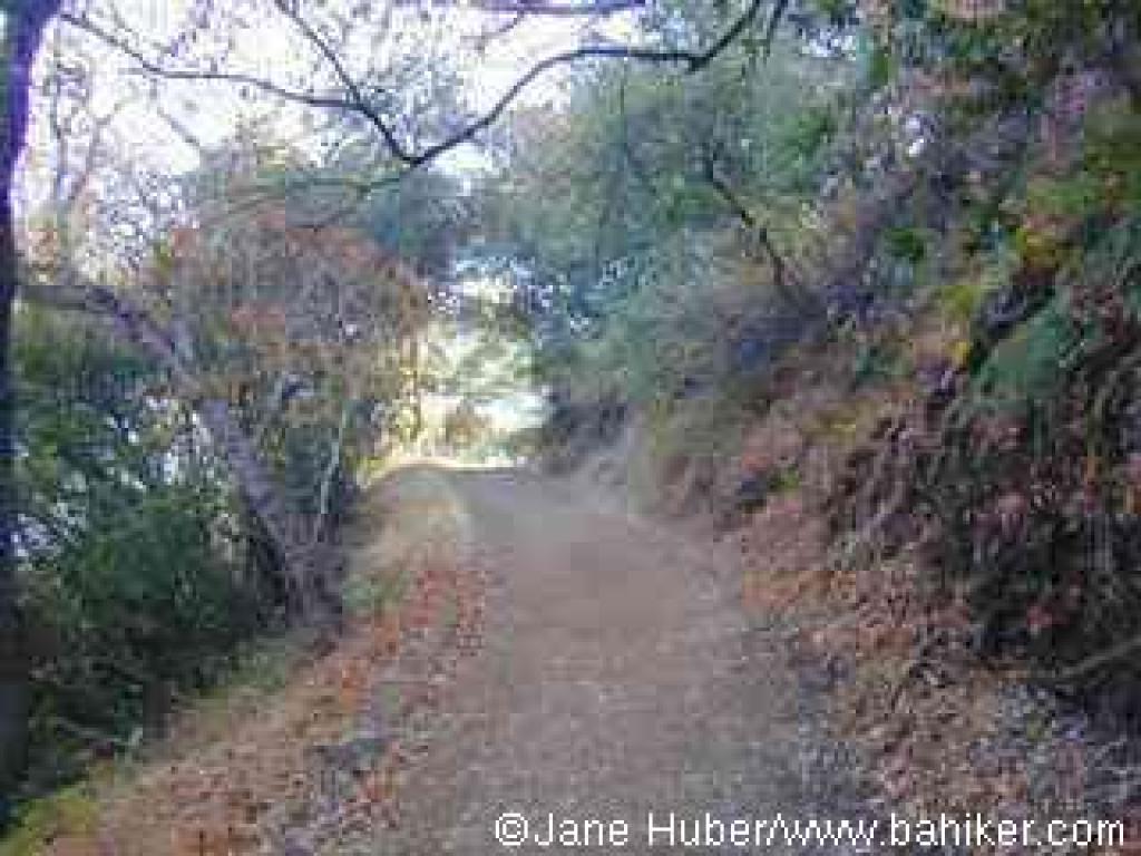 is the least appealing, simply because the parching hot sun intensifies the push to the summit. Especially in warm weather, be sure to bring lots of water. On my August trek I sucked down 3 liters of water, and still ran out before the end of the hike.
Begin at the Duveneck Windmill Trailhead on Rhus Ridge Trail. The first stretch of this broad trail, open to hikers and equestrians, is a level meander along a canyon floor. You'll pass the caretaker's house and go through another gate, then begin a slight climb. California bays and coast live oaks give way to chaparral as the trail sweeps uphill to the right, the grade stiffening a bit. Deer are common in this part of the preserve, and you might see some upslope on the left, under some buckeye trees. An assortment of chaparral plants, including poison oak, monkeyflower, coffeeberry, creambush,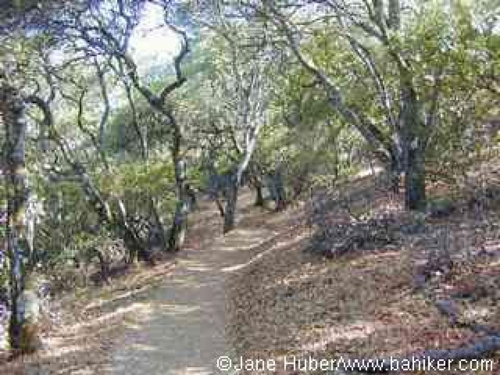 toyon, silktassel, sagebrush, hollyleaf cherry, and cercocarpus soak up the sun along the trail. Coast live oak, buckeye, and California bay offer some shade in sections. At 0.39 mile, there's a viewpoint on the right side of the trail, a mere sample of what's to come. You may notice buckwheat blooming, and snowberry fruiting, along the trail in summer. The grade is moderately steep as Rhus Ridge Trail zigzags uphill. At 0.50 mile a path breaks off to the left. Continue straight on Rhus Ridge Trail. The longest steep section follows, and at 0.90 mile, the trail crests, then ends at a signed multiple junction. Turn right onto Black Mountain Trail.
A grassy meadow slopes downhill on the left, and beyond the forested slopes of Black Mountain loom. You may be able to make out a string of high-tension power lines -- this is where you're headed on the way to the top. The medium-width trail, closed to cyclists, winds through oak woodlands at a level pace, then emerges in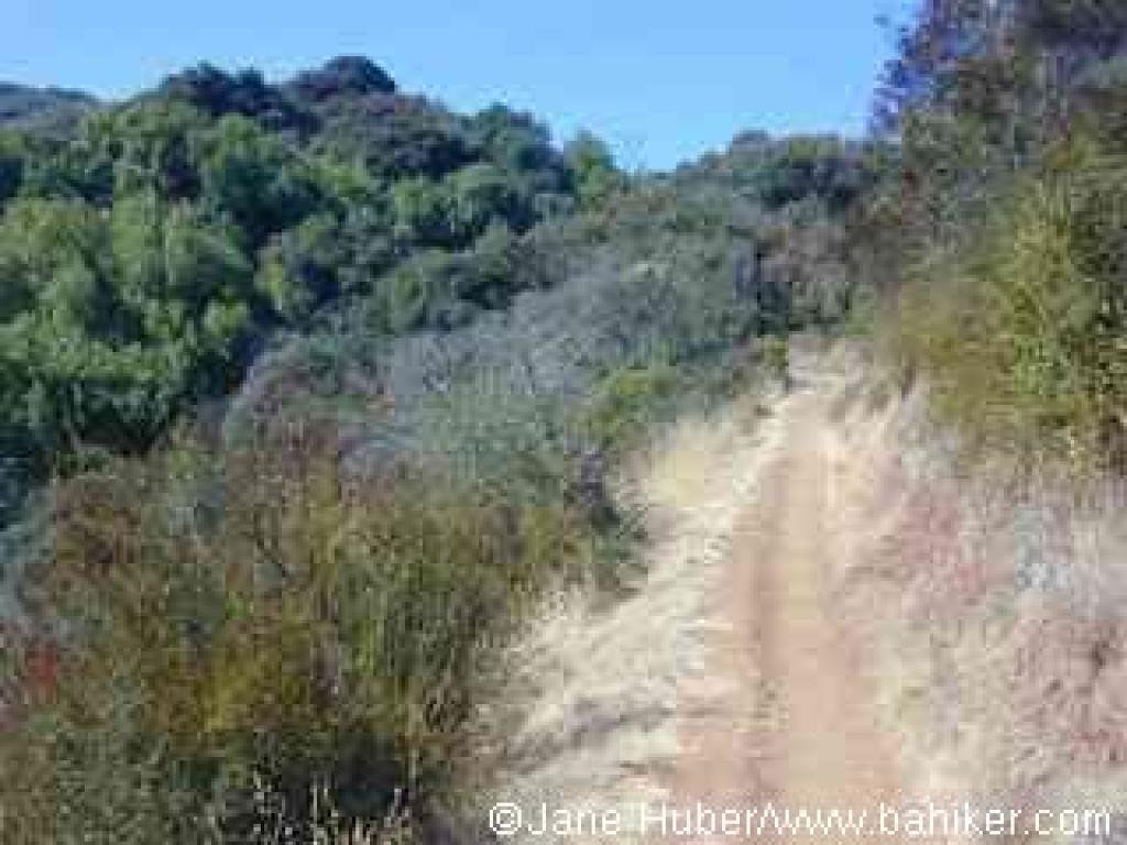 chaparral. Skirting the far reaches of a canyon that stretches through the eastern part of the park, Black Mountain Trail remains nearly flat. At 1.57 miles, a path to Hidden Villa departs on the right, from a signed junction.Continue straight on Black Mountain Trail.
The trail, mostly shaded by coast live oaks, begins to climb at a moderately easy grade. At 1.78 miles, a second signed trail heads into Hidden Villa on the right. Continue straight on Black Mountain Trail.
The trail spends a bit longer in the shade, then steps out into a plant community of chamise, silktassel, toyon, poison oak, coffeeberry, and cercocarpus. Small pockets of California bay, nestled in the mountain's creases, provide welcome shade on warm days. A series of switchbacks help the ascent stay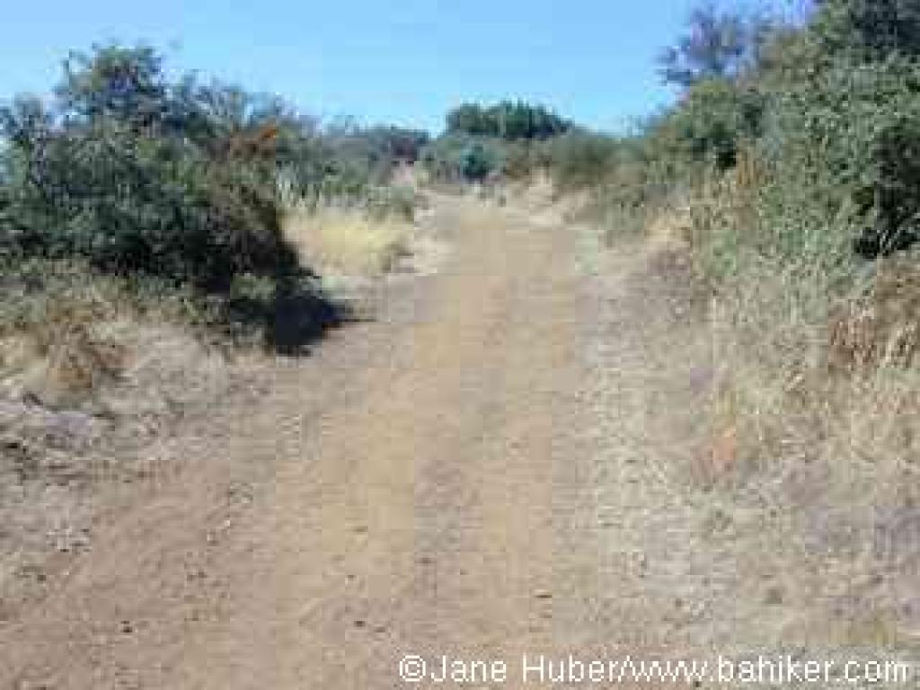 gradual. I always expect to see animals along the trail, since coyote, bobcat, and fox scat is so common, but I've never seen anything more exotic than deer. You might notice a few manzanita shrubs and some madrone. Following one last, nearly level foray through coast live oak woods, the trail steps out under a high-tension power line, at 3.24 miles. Although broadened to fire road width, the trail is still closed to cyclists. From this point it's about 1000 feet (the bulk of it achieved in a little over 1 mile) to the summit. At first Black Mountain Trail runs along the power lines, through a combination of buckeye, coast live oak, poison oak, buckbrush, coyote brush, yerba santa, pitcher sage, and coffeeberry, but the trail soon curves left and heads uphill, while the power lines continue across the upper reaches of Hidden Villa. At 3.44 miles generic trail signs point you straight ahead, while a barely-there path breaks off to the right. Continue straight on Black Mountain
 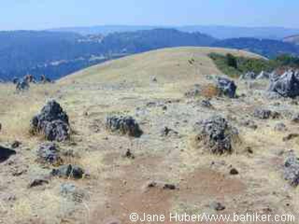 Trail.
The grade picks up significantly, and the trail leaves most tree cover behind. Occasionally a coast live oak shades the route, but for the most part, yerba santa, pitcher sage, scrub oak, hollyleaf cherry, manzanita, buckbrush, silktassel, and chamise line the trail. In winter look for pink flowers on chaparral currant shrubs. Ugly Kaiser Quarry is visible to the south. Although the route is fairly straight, some curves in the trail allow for a few surprises. One is a brief downhill stretch -- my heart drops with the grade each time I round that bend, for at this point in the ascent, every foot gained in elevation is an achievement, and it is no fun to go down in order to go up. There are more steep sections, some of them quite rocky. Views back to the east are a fine excuse when you need to stop and catch your breath. Finally, at 4.36 miles, you'll reach a gate. Continue past the step-over on Black Mountain trail to a signed junction at 4.42 miles, then turn right, "toward Monte Bello Road."
Chaparral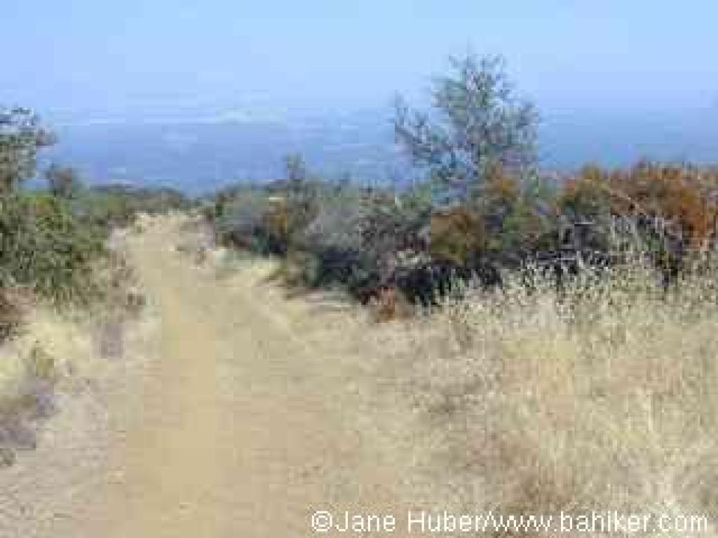 partly screens views to a hilltop collection of antennae, on the right. At 4.51 miles, the trail ends at a signed junction with Monte Bello Road, and marks the border withMonte Bello Open Space Preserve. Turn left.
After a brief gentle climb through grassland, you'll reach the top of Black Mountain, with an elevation just over 2800 feet. Look to the right for an unsigned path into some rock formations. Turn right, and at 4.58 you'll reach the turn-around point for the hike. You may spend some minutes looking for the USGS elevation marker, plastered into a rock. The views are outstanding: to the west Skyline Ridge and Butano Ridge are visible, south the highest elevations of the Santa Cruz Mountains stand out, and a glimpse north reveals the descending hills of Monte Bello. After the climb, it's pleasant to stretch out, loosen your boots, eat lunch, and refuel with something cold. When you're ready, retrace your steps back to the trailhead.
Total distance: 9.49 miles
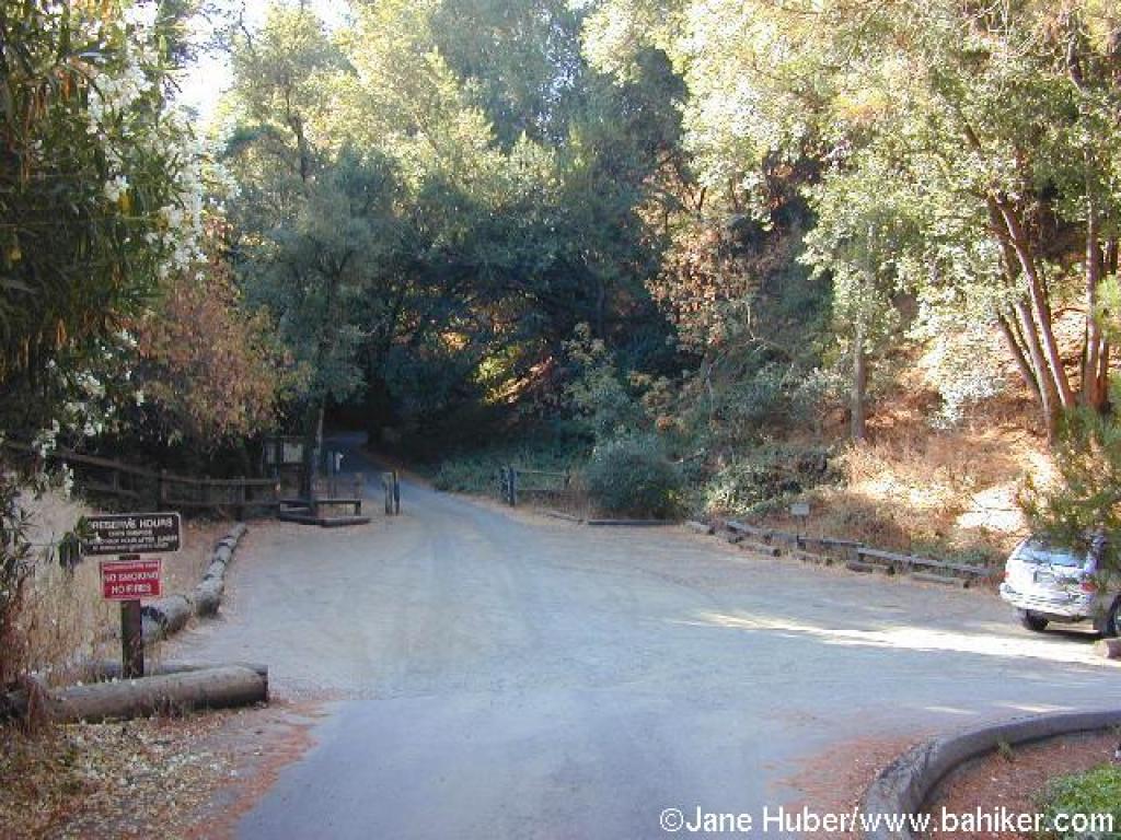 has two very different segments. Although the first mile, on Rhus Ridge Trail, is a bit steep, the initial stretch of Black Mountain Trail is a nicely graded footpath winding through woods and chaparral. Then suddenly, 3.3 miles up the mountain, the footpath widens to fire road width, and shoots nearly straight uphill, with little shade. The ascent is worth it, for the amazing views at the top and the feeling of accomplishment -- an over 2300 foot climb all the way up the mountain!
The trip to Black Mountain is great in spring when a variety of vegetation is in bloom, and temperatures are cool. It's not bad in winter either, although the trails can by muddy if horses have been on them soon after rain (MROSD occasionally closes the trail to horse traffic in wet months). Summer
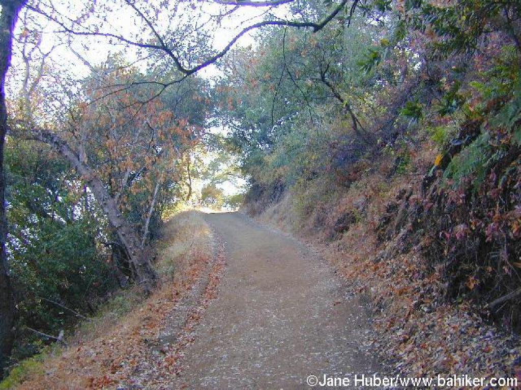 is the least appealing, simply because the parching hot sun intensifies the push to the summit. Especially in warm weather, be sure to bring lots of water. On my August trek I sucked down 3 liters of water, and still ran out before the end of the hike.
Begin at the Duveneck Windmill Trailhead on Rhus Ridge Trail. The first stretch of this broad trail, open to hikers and equestrians, is a level meander along a canyon floor. You'll pass the caretaker's house and go through another gate, then begin a slight climb. California bays and coast live oaks give way to chaparral as the trail sweeps uphill to the right, the grade stiffening a bit. Deer are common in this part of the preserve, and you might see some upslope on the left, under some buckeye trees. An assortment of chaparral plants, including poison oak, monkeyflower, coffeeberry, creambush,
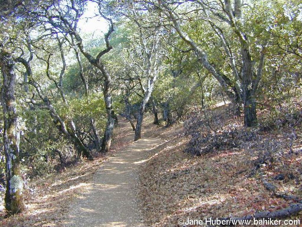 toyon, silktassel, sagebrush, hollyleaf cherry, and cercocarpus soak up the sun along the trail. Coast live oak, buckeye, and California bay offer some shade in sections. At 0.39 mile, there's a viewpoint on the right side of the trail, a mere sample of what's to come. You may notice buckwheat blooming, and snowberry fruiting, along the trail in summer. The grade is moderately steep as Rhus Ridge Trail zigzags uphill. At 0.50 mile a path breaks off to the left. Continue straight on Rhus Ridge Trail. The longest steep section follows, and at 0.90 mile, the trail crests, then ends at a signed multiple junction. Turn right onto Black Mountain Trail.
A grassy meadow slopes downhill on the left, and beyond the forested slopes of Black Mountain loom. You may be able to make out a string of high-tension power lines -- this is where you're headed on the way to the top. The medium-width trail, closed to cyclists, winds through oak woodlands at a level pace, then emerges in
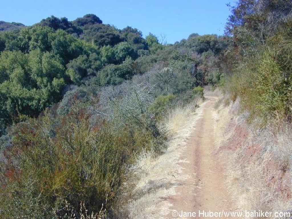 chaparral. Skirting the far reaches of a canyon that stretches through the eastern part of the park, Black Mountain Trail remains nearly flat. At 1.57 miles, a path to Hidden Villa departs on the right, from a signed junction.Continue straight on Black Mountain Trail.
The trail, mostly shaded by coast live oaks, begins to climb at a moderately easy grade. At 1.78 miles, a second signed trail heads into Hidden Villa on the right. Continue straight on Black Mountain Trail.
The trail spends a bit longer in the shade, then steps out into a plant community of chamise, silktassel, toyon, poison oak, coffeeberry, and cercocarpus. Small pockets of California bay, nestled in the mountain's creases, provide welcome shade on warm days. A series of switchbacks help the ascent stay
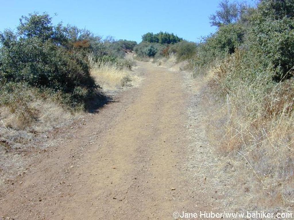 gradual. I always expect to see animals along the trail, since coyote, bobcat, and fox scat is so common, but I've never seen anything more exotic than deer. You might notice a few manzanita shrubs and some madrone. Following one last, nearly level foray through coast live oak woods, the trail steps out under a high-tension power line, at 3.24 miles. Although broadened to fire road width, the trail is still closed to cyclists. From this point it's about 1000 feet (the bulk of it achieved in a little over 1 mile) to the summit. At first Black Mountain Trail runs along the power lines, through a combination of buckeye, coast live oak, poison oak, buckbrush, coyote brush, yerba santa, pitcher sage, and coffeeberry, but the trail soon curves left and heads uphill, while the power lines continue across the upper reaches of Hidden Villa. At 3.44 miles generic trail signs point you straight ahead, while a barely-there path breaks off to the right. Continue straight on Black Mountain
 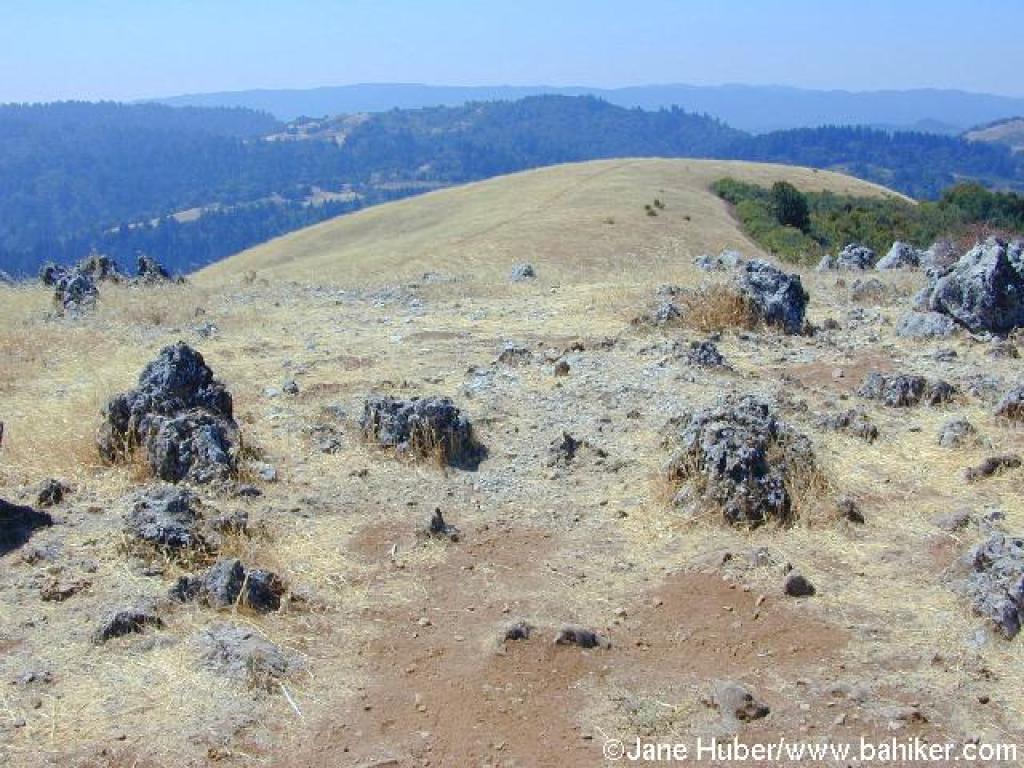 Trail.
The grade picks up significantly, and the trail leaves most tree cover behind. Occasionally a coast live oak shades the route, but for the most part, yerba santa, pitcher sage, scrub oak, hollyleaf cherry, manzanita, buckbrush, silktassel, and chamise line the trail. In winter look for pink flowers on chaparral currant shrubs. Ugly Kaiser Quarry is visible to the south. Although the route is fairly straight, some curves in the trail allow for a few surprises. One is a brief downhill stretch -- my heart drops with the grade each time I round that bend, for at this point in the ascent, every foot gained in elevation is an achievement, and it is no fun to go down in order to go up. There are more steep sections, some of them quite rocky. Views back to the east are a fine excuse when you need to stop and catch your breath. Finally, at 4.36 miles, you'll reach a gate. Continue past the step-over on Black Mountain trail to a signed junction at 4.42 miles, then turn right, "toward Monte Bello Road."
Chaparral
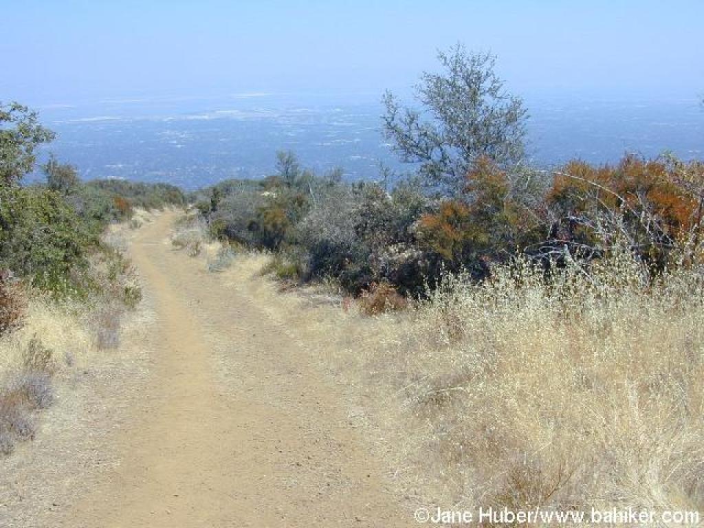 partly screens views to a hilltop collection of antennae, on the right. At 4.51 miles, the trail ends at a signed junction with Monte Bello Road, and marks the border withMonte Bello Open Space Preserve. Turn left.
After a brief gentle climb through grassland, you'll reach the top of Black Mountain, with an elevation just over 2800 feet. Look to the right for an unsigned path into some rock formations. Turn right, and at 4.58 you'll reach the turn-around point for the hike. You may spend some minutes looking for the USGS elevation marker, plastered into a rock. The views are outstanding: to the west Skyline Ridge and Butano Ridge are visible, south the highest elevations of the Santa Cruz Mountains stand out, and a glimpse north reveals the descending hills of Monte Bello. After the climb, it's pleasant to stretch out, loosen your boots, eat lunch, and refuel with something cold. When you're ready, retrace your steps back to the trailhead.
Total distance: 9.49 miles